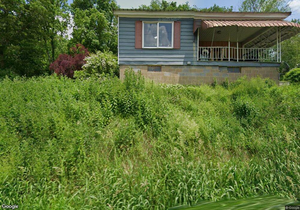
979 Goral Rd Homer City, PA 15748
Estimated Value: $111,000 - $158,000
2
Beds
1
Bath
1,262
Sq Ft
$110/Sq Ft
Est. Value
About This Home
This home is located at 979 Goral Rd, Homer City, PA 15748 and is currently estimated at $138,844, approximately $110 per square foot. 979 Goral Rd is a home located in Indiana County with nearby schools including Homer-Center Elementary School and Homer-Center Junior/Senior High School.
Ownership History
Date
Name
Owned For
Owner Type
Purchase Details
Closed on
Jun 7, 2017
Sold by
Goral John S and Estate Of Helen May Goral
Bought by
Fabin Brothers Farms
Current Estimated Value
Home Financials for this Owner
Home Financials are based on the most recent Mortgage that was taken out on this home.
Original Mortgage
$59,900
Outstanding Balance
$49,824
Interest Rate
4.02%
Mortgage Type
Seller Take Back
Estimated Equity
$89,020
Purchase Details
Closed on
Jun 15, 2015
Sold by
R & Pcc Llc
Bought by
Homer City Generation Lp
Create a Home Valuation Report for This Property
The Home Valuation Report is an in-depth analysis detailing your home's value as well as a comparison with similar homes in the area
Home Values in the Area
Average Home Value in this Area
Purchase History
| Date | Buyer | Sale Price | Title Company |
|---|---|---|---|
| Fabin Brothers Farms | $60,000 | Attorney | |
| Homer City Generation Lp | $1,200,000 | Attorney |
Source: Public Records
Mortgage History
| Date | Status | Borrower | Loan Amount |
|---|---|---|---|
| Open | Fabin Brothers Farms | $59,900 |
Source: Public Records
Tax History Compared to Growth
Tax History
| Year | Tax Paid | Tax Assessment Tax Assessment Total Assessment is a certain percentage of the fair market value that is determined by local assessors to be the total taxable value of land and additions on the property. | Land | Improvement |
|---|---|---|---|---|
| 2025 | $2,113 | $84,300 | $20,800 | $63,500 |
| 2024 | $2,079 | $84,300 | $20,800 | $63,500 |
| 2023 | $1,955 | $84,300 | $20,800 | $63,500 |
| 2022 | $1,934 | $84,300 | $20,800 | $63,500 |
| 2021 | $1,934 | $84,300 | $20,800 | $63,500 |
| 2020 | $1,895 | $84,300 | $20,800 | $63,500 |
| 2018 | $1,872 | $84,300 | $20,800 | $63,500 |
| 2017 | $1,536 | $84,300 | $20,800 | $63,500 |
| 2016 | -- | $84,300 | $20,800 | $63,500 |
| 2015 | -- | $6,700 | $560 | $6,140 |
| 2014 | -- | $6,700 | $560 | $6,140 |
Source: Public Records
Map
Nearby Homes
- 564 Henry Rd
- 466 Walker Dr
- 5454 Old Route 56 Hwy W
- 143 Syntron Dr
- 28 Railroad Ave
- 29 W Elm St
- 214 S Main St
- 42 Ridge Ave
- 250 Yellowcreek St
- 79 Ridge Ave
- 223 Meade St
- 173 Anthony Rd
- 4321 Route 286 Hwy W
- 795 John Georges Rd Unit Shelocta
- 1278 Rigley Rd
- 142 11th St
- 70 9th St
- 152 Coy St
- 201 Courtland Rd
- 152 Timbersprings Dr