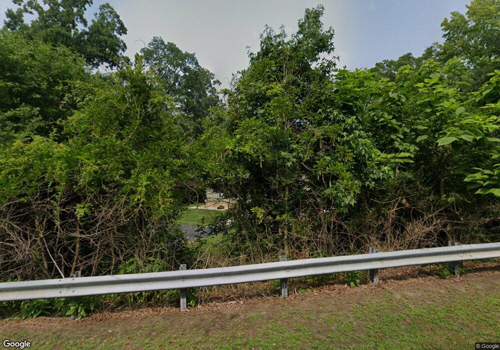
979 S Broad St Franklinville, NJ 08322
Franklin Township NeighborhoodEstimated Value: $281,118 - $340,000
2
Beds
1
Bath
1,056
Sq Ft
$287/Sq Ft
Est. Value
About This Home
This home is located at 979 S Broad St, Franklinville, NJ 08322 and is currently estimated at $302,780, approximately $286 per square foot. 979 S Broad St is a home located in Gloucester County with nearby schools including Delsea Regional Middle School, Delsea Regional High School, and St Michael The Archangel Regional School.
Ownership History
Date
Name
Owned For
Owner Type
Purchase Details
Closed on
May 1, 2018
Sold by
The State Of New Jersey
Bought by
Vargo Properties Llc
Current Estimated Value
Purchase Details
Closed on
Mar 15, 2012
Sold by
Riley Elizabeth and Estate Of Marie E Peterson
Bought by
Riley Elizabeth and Lepouski Eric
Create a Home Valuation Report for This Property
The Home Valuation Report is an in-depth analysis detailing your home's value as well as a comparison with similar homes in the area
Home Values in the Area
Average Home Value in this Area
Purchase History
| Date | Buyer | Sale Price | Title Company |
|---|---|---|---|
| Vargo Properties Llc | $2,000 | None Available | |
| Riley Elizabeth | -- | None Available |
Source: Public Records
Tax History Compared to Growth
Tax History
| Year | Tax Paid | Tax Assessment Tax Assessment Total Assessment is a certain percentage of the fair market value that is determined by local assessors to be the total taxable value of land and additions on the property. | Land | Improvement |
|---|---|---|---|---|
| 2025 | $5,616 | $146,900 | $34,400 | $112,500 |
| 2024 | $5,080 | $146,900 | $34,400 | $112,500 |
| 2023 | $5,080 | $136,000 | $34,400 | $101,600 |
| 2022 | $4,942 | $136,000 | $34,400 | $101,600 |
| 2021 | $4,874 | $136,000 | $34,400 | $101,600 |
| 2020 | $4,821 | $136,000 | $34,400 | $101,600 |
| 2019 | $4,757 | $136,000 | $34,400 | $101,600 |
| 2018 | $4,695 | $136,000 | $34,400 | $101,600 |
| 2017 | $4,608 | $136,000 | $34,400 | $101,600 |
| 2016 | $1,329 | $39,400 | $34,400 | $5,000 |
| 2015 | $1,277 | $39,400 | $34,400 | $5,000 |
| 2014 | $3,215 | $103,000 | $34,400 | $68,600 |
Source: Public Records
Map
Nearby Homes
- 919 Little Mill Rd
- 3071 Delsea Dr
- 765 Little Mill Rd
- 100 Jerrys Ave
- 333 Erie Ave
- 251 Novack Dr
- 710 Webster Dr
- 125 W Clayton Ave
- 780 W Clayton Ave
- 779 East Ave
- 7 Hawthorn Way
- 238 W Center St
- 320 E Clayton Ave
- 326 Sugar Hill Dr
- 338 Sugar Hill Dr
- 755 Buck Rd
- 733 Buck Rd
- 100 Aura Rd Unit 112
- 100 Aura Rd Unit 212
- 100 Aura Rd Unit 214
- 961 S Broad St
- 947 S Broad St
- 1131 Little Mill Rd
- 1137 Little Mill Rd
- 1117 Little Mill Rd
- 0 Little Mill Rd
- 0 Little Mill Rd Unit NJGL262762
- 0 Little Mill Rd Unit NJGL262626
- 0 Little Mill Rd Unit 21808250
- 0 Little Mill Rd Unit 1000233838
- 925 S Broad St
- 1130 Little Mill Rd
- 1165 Little Mill Rd
- 905 S Broad St
- 1174 Little Mill Rd
- 895 S Broad St
- 881 S Broad St
- 1191 Little Mill Rd
- 00 Little Mill Rd
- 709 Little Mill Rd
