9797 E Highway 181 Pearce, AZ 85625
Estimated Value: $100,062 - $151,000
Studio
--
Bath
871,200
Sq Ft
$0/Sq Ft
Est. Value
About This Home
This home is located at 9797 E Highway 181, Pearce, AZ 85625 and is currently estimated at $137,266, approximately $0 per square foot. 9797 E Highway 181 is a home located in Cochise County with nearby schools including Ash Creek Elementary School and Valley Union High School.
Ownership History
Date
Name
Owned For
Owner Type
Purchase Details
Closed on
Nov 7, 2022
Sold by
Hamberger Jesse
Bought by
Hamberger Bruce and Hamberger Diana
Current Estimated Value
Purchase Details
Closed on
Jul 28, 2021
Sold by
Serial Holdings Llc
Bought by
Hamberger Michael and Hamberger Katherine
Purchase Details
Closed on
Mar 3, 2009
Sold by
Schuck Stanley C and Schuck Sharon L
Bought by
Hamberger Jesse D and Hamberger Charlene M
Home Financials for this Owner
Home Financials are based on the most recent Mortgage that was taken out on this home.
Original Mortgage
$82,000
Interest Rate
5.19%
Mortgage Type
Unknown
Create a Home Valuation Report for This Property
The Home Valuation Report is an in-depth analysis detailing your home's value as well as a comparison with similar homes in the area
Purchase History
| Date | Buyer | Sale Price | Title Company |
|---|---|---|---|
| Hamberger Bruce | -- | -- | |
| Hamberger Michael | $115,072 | Pioneer Title Agency | |
| Hamberger Jesse D | $90,000 | Pioneer Title Agency |
Source: Public Records
Mortgage History
| Date | Status | Borrower | Loan Amount |
|---|---|---|---|
| Previous Owner | Hamberger Jesse D | $82,000 |
Source: Public Records
Tax History
| Year | Tax Paid | Tax Assessment Tax Assessment Total Assessment is a certain percentage of the fair market value that is determined by local assessors to be the total taxable value of land and additions on the property. | Land | Improvement |
|---|---|---|---|---|
| 2025 | $582 | $3,455 | $2,886 | $569 |
| 2024 | $582 | $10,353 | $2,886 | $7,467 |
| 2023 | $1,055 | $8,861 | $2,886 | $5,975 |
| 2022 | $1,023 | $8,567 | $2,886 | $5,681 |
| 2021 | $1,006 | $8,439 | $2,886 | $5,553 |
| 2020 | $1,008 | $0 | $0 | $0 |
| 2019 | $1,035 | $0 | $0 | $0 |
| 2018 | $1,010 | $0 | $0 | $0 |
| 2017 | $963 | $0 | $0 | $0 |
| 2016 | $987 | $0 | $0 | $0 |
| 2015 | -- | $0 | $0 | $0 |
Source: Public Records
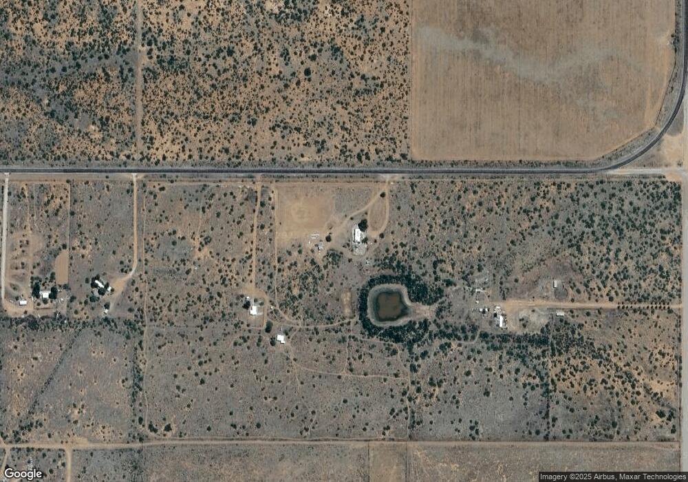
Map
Nearby Homes
- TBD 65 Acr E Sunrise Dr Unit C
- TBD 40 Acr E Sunrise Dr Unit A
- 9373 E Perseus Way
- 20 Ac E Bumble Bee
- 20ac S Price Ranch Rd
- 20 ac S Price Ranch Rd
- 00 Price Ranch Rd
- TBD Turkey Creek Rd
- TBD Turkey Creek Rd Unit 7N
- 10 Acres E Roadrunner Lot E Ln Unit D
- 10 Acres E Roadrunner Lot D Ln Unit D
- 10 Acres E Roadrunner Rd Unit D
- 10 Acres E Roadrunner Rd Unit E
- 40.24 Acre Cross Creek Rd
- 40 AC Cross Creek Rd Unit 5
- 8877 E Night Owl Trail
- 18.79 Acre S Los Gatos Trail Unit 1
- 5.0 Acre S Los Gatos Trail Unit 3
- 12300 S Los Gatos Trail
- 13201 S Falling Star Ln
- TBD 20 Ac Broken Soldier Trail Unit 6A
- 120 Acres Highway 181
- 120 Acres Highway 181
- 9699 E Highway 181
- 9649 E Highway 181
- 0 S Kuykendall Cutoff Rd Unit 21008072
- 0 S Kuykendall Cutoff Rd Unit 21008316
- 0 S Kuykendall Cutoff Rd Unit 21008447
- 0 S Kuykendall Cutoff Rd Unit 21008422
- 0 S Kuykendall Cutoff Rd Unit 21025757
- 0 S Kuykendall Cutoff Rd Unit 21105720
- 0 S Kuykendall Cutoff Rd Unit 21212029
- 0 S Kuykendall Cutoff Rd Unit 21213290
- 0 S Kuykendall Cutoff Rd Unit 21213296
- 0 S Kuykendall Cutoff Rd Unit 21213295
- 0 S Kuykendall Cutoff Rd Unit 21213293
- 0 S Kuykendall Cutoff Rd Unit 21608333
- 0 S Kuykendall Cutoff Rd Unit 21608330
- 0 S Kuykendall Cutoff Rd Unit 21608334
- 0 S Kuykendall Cutoff Rd Unit 21608331