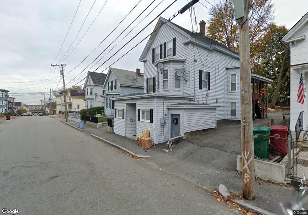
98 Andrews St Lowell, MA 01852
Sacred Heart NeighborhoodEstimated Value: $548,397 - $725,000
6
Beds
2
Baths
2,824
Sq Ft
$230/Sq Ft
Est. Value
About This Home
This home is located at 98 Andrews St, Lowell, MA 01852 and is currently estimated at $650,349, approximately $230 per square foot. 98 Andrews St is a home located in Middlesex County with nearby schools including Moody Elementary School, Abraham Lincoln Elementary School, and Greenhalge Elementary School.
Ownership History
Date
Name
Owned For
Owner Type
Purchase Details
Closed on
Jan 4, 2013
Sold by
Nelson Eugene and Nelson Janet
Bought by
Matos Daniel S
Current Estimated Value
Home Financials for this Owner
Home Financials are based on the most recent Mortgage that was taken out on this home.
Original Mortgage
$218,960
Outstanding Balance
$152,101
Interest Rate
3.35%
Mortgage Type
New Conventional
Estimated Equity
$498,248
Create a Home Valuation Report for This Property
The Home Valuation Report is an in-depth analysis detailing your home's value as well as a comparison with similar homes in the area
Home Values in the Area
Average Home Value in this Area
Purchase History
| Date | Buyer | Sale Price | Title Company |
|---|---|---|---|
| Matos Daniel S | $223,000 | -- |
Source: Public Records
Mortgage History
| Date | Status | Borrower | Loan Amount |
|---|---|---|---|
| Open | Matos Daniel S | $218,960 | |
| Closed | Matos Daniel S | $218,960 | |
| Previous Owner | Matos Daniel S | $168,000 |
Source: Public Records
Tax History
| Year | Tax Paid | Tax Assessment Tax Assessment Total Assessment is a certain percentage of the fair market value that is determined by local assessors to be the total taxable value of land and additions on the property. | Land | Improvement |
|---|---|---|---|---|
| 2025 | $6,044 | $526,500 | $118,900 | $407,600 |
| 2024 | $5,567 | $467,400 | $107,200 | $360,200 |
| 2023 | $5,177 | $416,800 | $93,200 | $323,600 |
| 2022 | $4,646 | $366,100 | $73,500 | $292,600 |
| 2021 | $4,307 | $320,000 | $63,900 | $256,100 |
| 2020 | $3,865 | $289,300 | $53,300 | $236,000 |
| 2019 | $3,576 | $254,700 | $49,300 | $205,400 |
| 2018 | $3,323 | $230,900 | $47,000 | $183,900 |
| 2017 | $3,267 | $219,000 | $51,300 | $167,700 |
| 2016 | $3,323 | $219,200 | $51,500 | $167,700 |
| 2015 | $3,059 | $197,600 | $51,500 | $146,100 |
| 2013 | $2,757 | $183,700 | $59,500 | $124,200 |
Source: Public Records
Map
Nearby Homes
- 5 Lenox St Unit 2
- 5 Lenox St Unit 4
- 21 Agawam St
- 900 Lawrence St Unit 5
- 810 Lawrence St Unit C
- 36 Crowley St
- 85 Kinsman St
- 39 Moore St
- 7 Butler Ave Unit 5
- 5 Floyd St
- 31 Merrill St
- 8 Cedar Ct
- 106 Lundberg St Unit 6
- 200 Rogers St Unit 6
- 14 Warnock St
- 95 S Highland St
- 313 Nesmith St
- 44 Hanks St
- 131 London St
- 88 Perry St
- 94 Andrews St
- 102 Andrews St
- 10 Barrington St
- 98 - 100 Andrews St
- 90 Andrews St
- 108 Andrews St
- 108 Andrews St Unit 2
- 108 Andrews St Unit 3
- 85 Agawam St
- 81 Agawam St
- 120 Andrews St Unit 1
- 99 Andrews St
- 99 Andrews St Unit Floor 1
- 93 Andrews St
- 89 Agawam St
- 15 Barrington St
- 82 Andrews St
- 77 Agawam St
- 77 Agawam St Unit 4
- 77 Agawam St Unit 2
Your Personal Tour Guide
Ask me questions while you tour the home.