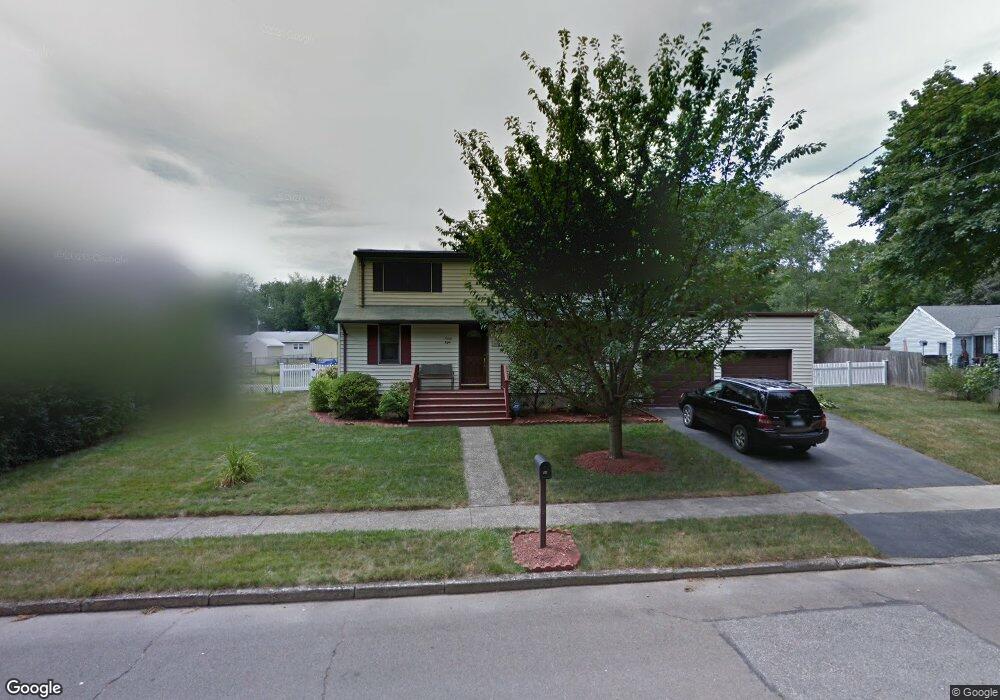
98 Beaverbrook Rd Milford, CT 06461
Parkway/Wheelers Farm Road NeighborhoodEstimated Value: $468,352 - $539,000
3
Beds
2
Baths
1,428
Sq Ft
$349/Sq Ft
Est. Value
About This Home
This home is located at 98 Beaverbrook Rd, Milford, CT 06461 and is currently estimated at $498,838, approximately $349 per square foot. 98 Beaverbrook Rd is a home located in New Haven County with nearby schools including Mathewson School, West Shore Middle School, and Jonathan Law High School.
Ownership History
Date
Name
Owned For
Owner Type
Purchase Details
Closed on
Jun 30, 2006
Sold by
Pimenta Antonio D and Pimenta Charlene V
Bought by
Edgerton Robert and Edgerton Bernadette
Current Estimated Value
Home Financials for this Owner
Home Financials are based on the most recent Mortgage that was taken out on this home.
Original Mortgage
$288,000
Interest Rate
6.58%
Purchase Details
Closed on
May 1, 1995
Sold by
Pimenta Acacio D and Pimenta Angelina D
Bought by
Pimenta Antonio D and Pimenta Charlene
Create a Home Valuation Report for This Property
The Home Valuation Report is an in-depth analysis detailing your home's value as well as a comparison with similar homes in the area
Home Values in the Area
Average Home Value in this Area
Purchase History
| Date | Buyer | Sale Price | Title Company |
|---|---|---|---|
| Edgerton Robert | $360,000 | -- | |
| Edgerton Robert | $360,000 | -- | |
| Pimenta Antonio D | $150,000 | -- | |
| Pimenta Antonio D | $150,000 | -- |
Source: Public Records
Mortgage History
| Date | Status | Borrower | Loan Amount |
|---|---|---|---|
| Open | Pimenta Antonio D | $282,400 | |
| Closed | Pimenta Antonio D | $288,000 |
Source: Public Records
Tax History
| Year | Tax Paid | Tax Assessment Tax Assessment Total Assessment is a certain percentage of the fair market value that is determined by local assessors to be the total taxable value of land and additions on the property. | Land | Improvement |
|---|---|---|---|---|
| 2025 | $6,321 | $213,920 | $86,380 | $127,540 |
| 2024 | $6,234 | $213,920 | $86,380 | $127,540 |
| 2023 | $5,812 | $213,920 | $86,380 | $127,540 |
| 2022 | $5,701 | $213,920 | $86,380 | $127,540 |
| 2021 | $4,793 | $173,360 | $57,120 | $116,240 |
| 2020 | $4,799 | $173,360 | $57,120 | $116,240 |
| 2019 | $4,804 | $173,360 | $57,120 | $116,240 |
| 2018 | $4,809 | $173,360 | $57,120 | $116,240 |
| 2017 | $4,818 | $173,360 | $57,120 | $116,240 |
| 2016 | $4,742 | $170,330 | $57,120 | $113,210 |
| 2015 | $4,749 | $170,330 | $57,120 | $113,210 |
| 2014 | $4,636 | $170,330 | $57,120 | $113,210 |
Source: Public Records
Map
Nearby Homes
- 16 Partridge Ln
- 73 Audubon Close Unit 73
- 116 Cornfield Rd
- 1107 Naugatuck Ave
- 238 Zion Hill Rd
- 0 Caswell Cove Marina Unit C4
- 50 Woodhill Rd
- 663 West Ave Unit A22
- 43 Collingsdale Dr
- 103 Ford St
- 532 Popes Island Rd Unit 532
- 722 Popes Island Rd
- 523 Popes Island Rd
- 18 Greenview Ln
- 17 Innsbruck St
- 35 Century Ln
- 3 Chestnut Ln
- 1 Chestnut Ln
- 26 Hill St
- 36 Utica St
- 106 Beaverbrook Rd
- 90 Beaverbrook Rd
- 336 W Rutland Rd
- 344 W Rutland Rd
- 122 Beaverbrook Rd
- 82 Beaverbrook Rd
- 109 Beaverbrook Rd
- 352 W Rutland Rd
- 125 Beaverbrook Rd
- 117 Beaverbrook Rd
- 74 Beaverbrook Rd
- 360 W Rutland Rd
- 314 W Rutland Rd
- 364 Plains Rd
- 234 Grinnell St
- 372 Plains Rd
- 333 W Rutland Rd
- 339 W Rutland Rd
- 230 Grinnell St
- 238 Grinnell St
Your Personal Tour Guide
Ask me questions while you tour the home.