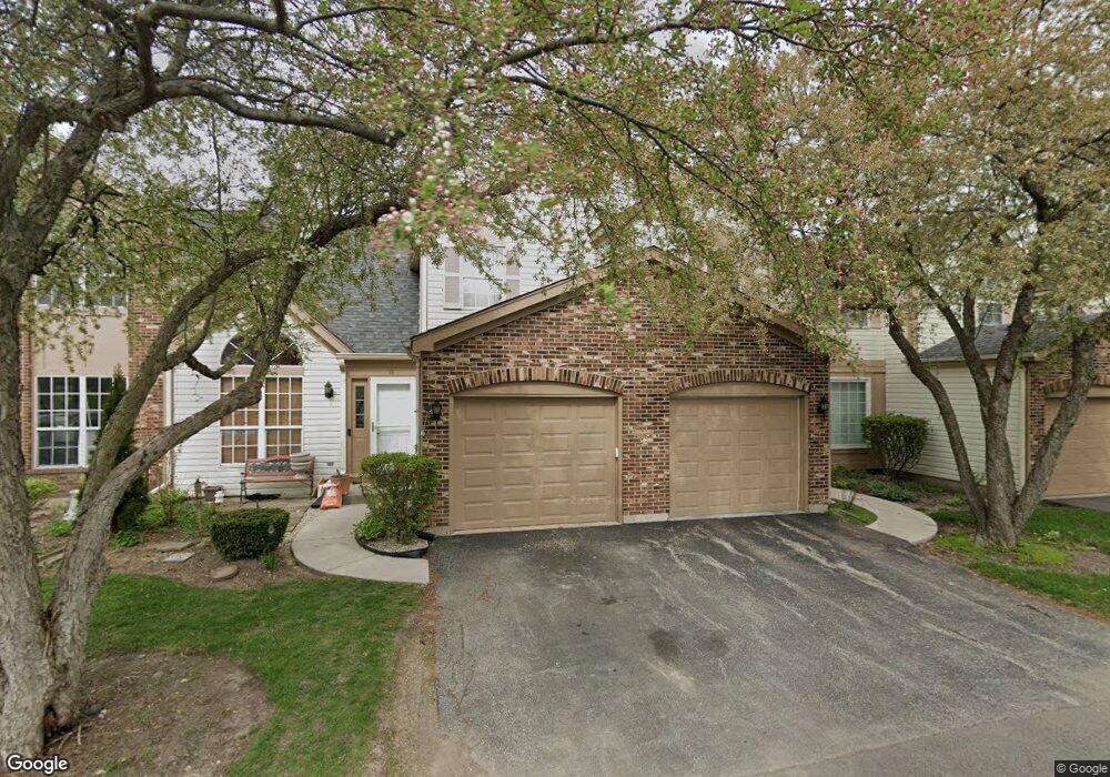
98 Bristol Ct Unit C Gurnee, IL 60031
Estimated Value: $263,000 - $282,000
3
Beds
2
Baths
1,408
Sq Ft
$192/Sq Ft
Est. Value
About This Home
This home is located at 98 Bristol Ct Unit C, Gurnee, IL 60031 and is currently estimated at $270,489, approximately $192 per square foot. 98 Bristol Ct Unit C is a home located in Lake County with nearby schools including Spaulding Elementary School, Viking Middle School, and Warren Township High School.
Ownership History
Date
Name
Owned For
Owner Type
Purchase Details
Closed on
May 29, 2007
Sold by
Kiefer Karen J and Nikkel Karen J
Bought by
Pehrson Joelle E
Current Estimated Value
Home Financials for this Owner
Home Financials are based on the most recent Mortgage that was taken out on this home.
Original Mortgage
$173,520
Outstanding Balance
$106,291
Interest Rate
6.21%
Mortgage Type
Purchase Money Mortgage
Estimated Equity
$164,198
Purchase Details
Closed on
Jul 19, 2002
Sold by
Moskal Lynn
Bought by
Nikkel Karen J
Create a Home Valuation Report for This Property
The Home Valuation Report is an in-depth analysis detailing your home's value as well as a comparison with similar homes in the area
Home Values in the Area
Average Home Value in this Area
Purchase History
| Date | Buyer | Sale Price | Title Company |
|---|---|---|---|
| Pehrson Joelle E | $217,000 | First American Title | |
| Nikkel Karen J | $172,000 | -- |
Source: Public Records
Mortgage History
| Date | Status | Borrower | Loan Amount |
|---|---|---|---|
| Open | Pehrson Joelle E | $173,520 |
Source: Public Records
Tax History
| Year | Tax Paid | Tax Assessment Tax Assessment Total Assessment is a certain percentage of the fair market value that is determined by local assessors to be the total taxable value of land and additions on the property. | Land | Improvement |
|---|---|---|---|---|
| 2024 | $4,659 | $70,082 | $8,227 | $61,855 |
| 2023 | $4,620 | $61,931 | $7,270 | $54,661 |
| 2022 | $4,620 | $56,976 | $7,271 | $49,705 |
| 2021 | $4,170 | $54,690 | $6,979 | $47,711 |
| 2020 | $3,000 | $53,345 | $6,807 | $46,538 |
| 2019 | $2,977 | $51,796 | $6,609 | $45,187 |
| 2018 | $3,600 | $48,360 | $4,331 | $44,029 |
| 2017 | $3,552 | $46,974 | $4,207 | $42,767 |
| 2016 | $3,412 | $44,883 | $4,020 | $40,863 |
| 2015 | $3,274 | $42,568 | $3,813 | $38,755 |
| 2014 | $4,028 | $51,108 | $3,740 | $47,368 |
| 2012 | $4,296 | $51,500 | $3,769 | $47,731 |
Source: Public Records
Map
Nearby Homes
- 287 Kensington Ct Unit 4
- 4232 Kenwood Ave
- 450 Tanglewood Dr
- 468 Tanglewood Dr
- 33718 N Oplaine Rd
- 387 Long Hill Rd
- 3861 Sutherland Dr
- 995 Norman Ave
- 546 Thorndale Ave
- 33564 Greenleaf St
- 3877 Grandview Ave
- 4185 Eastwood Place
- 4437-4495 W Kennedy Dr
- 3810 1st St
- 4520 W Lawn Ave
- 5135 Grand Ave
- 968 S Darla Ct
- 963 Belle Plaine Ave
- 4390 W Parkway Ave
- 4447 W Lawn Ave
- 98 Bristol Ct Unit 2
- 102 Bristol Ct Unit D
- 94 Bristol Ct Unit B
- 106 Bristol Ct Unit E
- 93 Bristol Ct Unit C
- 97 Bristol Ct
- 89 Bristol Ct Unit D
- 101 Bristol Ct Unit 2
- 120 Victoria Ct Unit C
- 124 Victoria Ct Unit D
- 116 Victoria Ct Unit B
- 130 Heritage Ct Unit A
- 112 Victoria Ct Unit A
- 9999 Confidential Ave
- 4442 Brookhaven Rd Unit 10
- 138 Heritage Ct Unit C
- 4444 Brookhaven Rd Unit 10
- 4445 Sheffield Ct Unit 10
- 142 Heritage Ct Unit D
- 4447 Sheffield Ct Unit 10
Your Personal Tour Guide
Ask me questions while you tour the home.