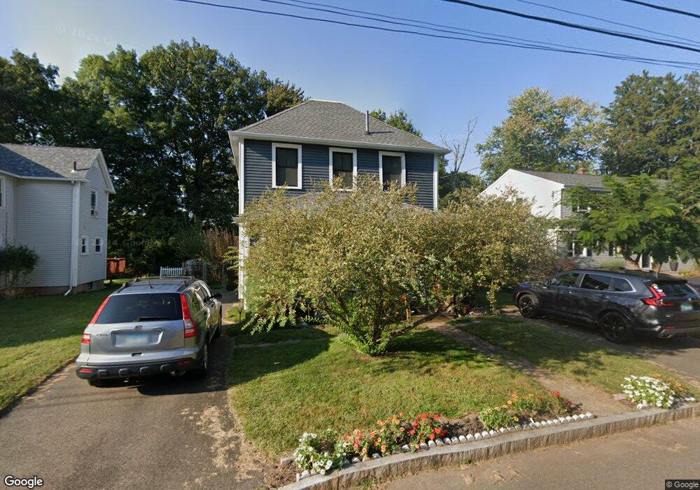
98 Catherine St Middletown, CT 06457
Estimated Value: $276,000 - $311,000
3
Beds
2
Baths
1,344
Sq Ft
$223/Sq Ft
Est. Value
About This Home
This home is located at 98 Catherine St, Middletown, CT 06457 and is currently estimated at $299,810, approximately $223 per square foot. 98 Catherine St is a home located in Middlesex County with nearby schools including Macdonough School, Middletown High School, and St John Paul II School.
Ownership History
Date
Name
Owned For
Owner Type
Purchase Details
Closed on
Jun 29, 2001
Sold by
Wnuk Michael P and Wnuk Concettina
Bought by
Whittle Brian
Current Estimated Value
Home Financials for this Owner
Home Financials are based on the most recent Mortgage that was taken out on this home.
Original Mortgage
$117,300
Outstanding Balance
$45,204
Interest Rate
7.14%
Estimated Equity
$254,606
Purchase Details
Closed on
Apr 30, 1990
Sold by
Davies Dwayne
Bought by
Wnuk Michael P
Home Financials for this Owner
Home Financials are based on the most recent Mortgage that was taken out on this home.
Original Mortgage
$127,800
Interest Rate
10.26%
Create a Home Valuation Report for This Property
The Home Valuation Report is an in-depth analysis detailing your home's value as well as a comparison with similar homes in the area
Home Values in the Area
Average Home Value in this Area
Purchase History
| Date | Buyer | Sale Price | Title Company |
|---|---|---|---|
| Whittle Brian | $115,000 | -- | |
| Wnuk Michael P | $130,000 | -- |
Source: Public Records
Mortgage History
| Date | Status | Borrower | Loan Amount |
|---|---|---|---|
| Open | Wnuk Michael P | $25,000 | |
| Open | Wnuk Michael P | $117,300 | |
| Previous Owner | Wnuk Michael P | $127,800 |
Source: Public Records
Tax History Compared to Growth
Tax History
| Year | Tax Paid | Tax Assessment Tax Assessment Total Assessment is a certain percentage of the fair market value that is determined by local assessors to be the total taxable value of land and additions on the property. | Land | Improvement |
|---|---|---|---|---|
| 2024 | $4,870 | $132,330 | $46,620 | $85,710 |
| 2023 | $4,645 | $132,330 | $46,620 | $85,710 |
| 2022 | $3,610 | $82,040 | $17,050 | $64,990 |
| 2021 | $4,311 | $82,040 | $17,050 | $64,990 |
| 2020 | $4,233 | $82,040 | $17,050 | $64,990 |
| 2019 | $4,163 | $82,040 | $17,050 | $64,990 |
| 2018 | $3,585 | $82,040 | $17,050 | $64,990 |
| 2017 | $4,373 | $103,130 | $37,260 | $65,870 |
| 2016 | $4,249 | $103,130 | $37,260 | $65,870 |
| 2015 | $4,084 | $103,130 | $37,260 | $65,870 |
| 2014 | $4,125 | $103,130 | $37,260 | $65,870 |
Source: Public Records
Map
Nearby Homes
- 634 High St
- 74 Grove St
- 3 Prospect Place
- 1 Pomeroy Place
- 1A Pomeroy Place
- 122 Newfield St Unit 2A
- 33 Bartlett Hollow Unit 33
- 18 Bacon Ave
- 25 Clinton Ave
- 62 Grand St
- 146 Liberty St
- 23 Portland St
- 195 Liberty St
- 175 Lincoln St
- 394 High St
- 136 Westfield St
- 675 Newfield St Unit 19
- 180 Washington St
- 85 Meech Rd
- 85 Westmont Dr
- 104 Catherine St
- 92 Catherine St
- 86 Catherine St
- 114 Catherine St
- 93 Catherine St
- 99 Catherine St
- 84 Catherine St
- 115 Catherine St
- 85 Catherine St
- 111 Catherine St
- 11 Casper Ave
- 78 Catherine St
- 71 Catherine St
- 70 Catherine St
- 19 Casper Ave
- 67 Catherine St
- 4 Casper Ave
- 14 Casper Ave
- 59 Catherine St
- 20 Casper Ave