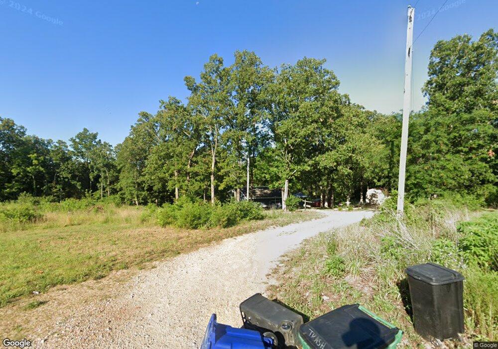
98 Lowry Ln Hillsboro, MO 63050
Estimated Value: $171,000 - $221,000
--
Bed
--
Bath
1,025
Sq Ft
$183/Sq Ft
Est. Value
About This Home
This home is located at 98 Lowry Ln, Hillsboro, MO 63050 and is currently estimated at $187,516, approximately $182 per square foot. 98 Lowry Ln is a home located in Jefferson County with nearby schools including Hillsboro Elementary School, Hillsboro Primary School, and Hillsboro Middle Elementary School.
Ownership History
Date
Name
Owned For
Owner Type
Purchase Details
Closed on
Aug 15, 2018
Sold by
Hatley Sherry Ann and Hatley Richa J
Bought by
Hatley Sheryy Ann
Current Estimated Value
Purchase Details
Closed on
Dec 8, 2000
Sold by
Hatley Sherry A and Hatley Richard J
Bought by
Hatley Richard J and Hatley Sherry Ann
Home Financials for this Owner
Home Financials are based on the most recent Mortgage that was taken out on this home.
Original Mortgage
$36,000
Interest Rate
7.8%
Mortgage Type
Credit Line Revolving
Create a Home Valuation Report for This Property
The Home Valuation Report is an in-depth analysis detailing your home's value as well as a comparison with similar homes in the area
Home Values in the Area
Average Home Value in this Area
Purchase History
| Date | Buyer | Sale Price | Title Company |
|---|---|---|---|
| Hatley Sheryy Ann | -- | None Available | |
| Hatley Richard J | -- | Old Republic Title Company |
Source: Public Records
Mortgage History
| Date | Status | Borrower | Loan Amount |
|---|---|---|---|
| Closed | Hatley Richard J | $36,000 |
Source: Public Records
Tax History Compared to Growth
Tax History
| Year | Tax Paid | Tax Assessment Tax Assessment Total Assessment is a certain percentage of the fair market value that is determined by local assessors to be the total taxable value of land and additions on the property. | Land | Improvement |
|---|---|---|---|---|
| 2025 | $724 | $13,100 | $2,700 | $10,400 |
| 2024 | $724 | $12,000 | $2,700 | $9,300 |
| 2023 | $724 | $12,000 | $2,700 | $9,300 |
| 2022 | $728 | $12,000 | $2,700 | $9,300 |
| 2021 | $782 | $12,000 | $2,700 | $9,300 |
| 2020 | $759 | $11,300 | $2,500 | $8,800 |
| 2019 | $758 | $11,300 | $2,500 | $8,800 |
| 2018 | $760 | $11,300 | $2,500 | $8,800 |
| 2017 | $723 | $11,300 | $2,500 | $8,800 |
| 2016 | $688 | $10,300 | $2,500 | $7,800 |
| 2015 | $650 | $10,300 | $2,500 | $7,800 |
| 2013 | $650 | $9,700 | $2,300 | $7,400 |
Source: Public Records
Map
Nearby Homes
- 4633 Dylan Dr
- 4640 Dylan Dr
- 5000 Glory Ridge
- 1483 Saint Charles Dr
- 5033 Whitehead Rd
- 5039 Hampton Dr
- 5059 Hampton Dr
- 1420 Cortez Dr
- 1417 Cortez Dr
- 4498 Liberty Ridge Rd
- 6005 Elm
- 4625 Cedar Dr
- 5319 Victory Farm Rd
- 12323 State Route 21
- 5580 Cotter Creek Rd
- 4799 State Road B
- 6360 State Road B
- 32 Ridgewood Dr
- 4483 Liberty Meadows Rd
- 719 Camelot Estates Dr
- 99 Lowry Ln
- 21 Smith Dr
- 4990 Tree Ridge Trail
- 11468 Highway 21
- 11500 Highway 21
- 11474 State Route 21
- 4965 Tree Ridge Trail
- 4997 Tree Ridge Trail
- 0 Lowery Unit none 80028407
- 11465 State Route 21
- 4991 Tree Ridge Trail
- 11475 Highway 21
- 11479 Highway 21
- 11487 Highway 21
- 11493 State Route 21
- 11518 Highway 21
- 11499 Highway 21
- 0 Hwy 21 Lot 5 and Part of 4 Hwy Unit 19021915
- 4992 Tree Ridge Trail
- 11519 Highway 21