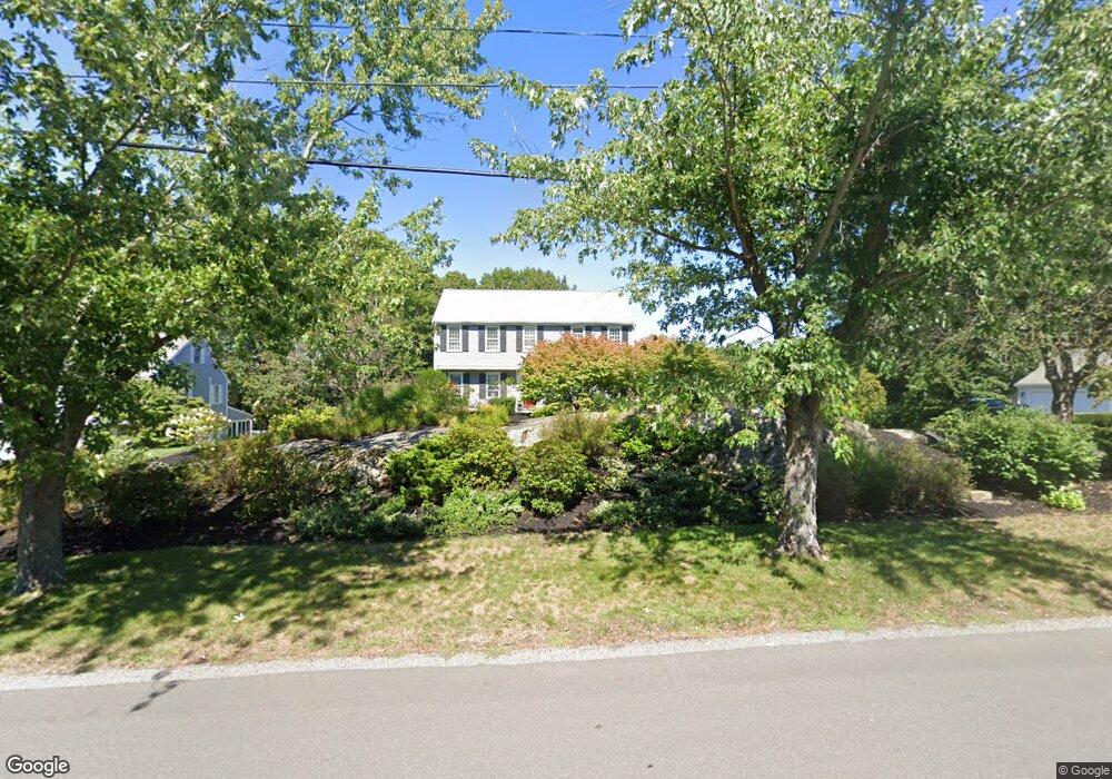
98 Manatee Rd Hingham, MA 02043
Estimated Value: $1,268,812 - $2,358,000
4
Beds
3
Baths
2,195
Sq Ft
$738/Sq Ft
Est. Value
About This Home
This home is located at 98 Manatee Rd, Hingham, MA 02043 and is currently estimated at $1,619,453, approximately $737 per square foot. 98 Manatee Rd is a home located in Plymouth County with nearby schools including Plymouth River Elementary School, Hingham Middle School, and Hingham High School.
Ownership History
Date
Name
Owned For
Owner Type
Purchase Details
Closed on
Sep 22, 2017
Sold by
Strauss Frank N and Jezowski Judith A
Bought by
Swope Timothy P and Swope Caitlyn S
Current Estimated Value
Purchase Details
Closed on
Apr 20, 2006
Sold by
Donovan Darren J and Donovan Carrie A
Bought by
Donnelly Thomas and Donnelly Laura
Purchase Details
Closed on
Aug 24, 1999
Sold by
Macdonald Charles B and Macdonald Catherine T
Bought by
Donovan Darren J and Donovan Carrie A
Purchase Details
Closed on
Jun 13, 1997
Sold by
Muench Hans B and Muench Andrea B
Bought by
Macdonald Charles B and Macdonald Catherine T
Purchase Details
Closed on
Aug 19, 1994
Sold by
Mccarthy Kenneth F and Mccarthy Lynn M
Bought by
Muench Hans B and Muench Andra B
Create a Home Valuation Report for This Property
The Home Valuation Report is an in-depth analysis detailing your home's value as well as a comparison with similar homes in the area
Purchase History
| Date | Buyer | Sale Price | Title Company |
|---|---|---|---|
| Swope Timothy P | $1,135,000 | -- | |
| Donnelly Thomas | $785,000 | -- | |
| Donovan Darren J | $418,000 | -- | |
| Macdonald Charles B | $337,000 | -- | |
| Muench Hans B | $353,000 | -- |
Source: Public Records
Mortgage History
| Date | Status | Borrower | Loan Amount |
|---|---|---|---|
| Previous Owner | Muench Hans B | $200,000 | |
| Previous Owner | Muench Hans B | $328,800 |
Source: Public Records
Tax History
| Year | Tax Paid | Tax Assessment Tax Assessment Total Assessment is a certain percentage of the fair market value that is determined by local assessors to be the total taxable value of land and additions on the property. | Land | Improvement |
|---|---|---|---|---|
| 2025 | $11,584 | $1,083,600 | $485,300 | $598,300 |
| 2024 | $11,185 | $1,030,900 | $485,300 | $545,600 |
| 2023 | $9,812 | $981,200 | $485,300 | $495,900 |
| 2022 | $9,253 | $800,400 | $404,400 | $396,000 |
| 2021 | $9,079 | $769,400 | $404,400 | $365,000 |
| 2020 | $8,871 | $769,400 | $404,400 | $365,000 |
| 2019 | $8,717 | $738,100 | $404,400 | $333,700 |
| 2018 | $8,663 | $736,000 | $404,400 | $331,600 |
| 2017 | $8,177 | $667,500 | $404,400 | $263,100 |
| 2016 | $8,097 | $648,300 | $385,200 | $263,100 |
| 2015 | $7,893 | $629,900 | $366,800 | $263,100 |
Source: Public Records
Map
Nearby Homes
- 156 Fort Hill St
- 6 Brewer Way
- 1 Hemlock Rd
- 425 East St
- 43 Filomena St
- 1297 Pleasant St
- 30 Puritan Rd
- 5 Endicott St
- 2 Black Rock Dr Unit 21
- 2 Black Rock Dr
- 7 Lewis Ct
- 6 Adams Ct
- 573 Broad St Unit 325
- 575 Broad St Unit 315
- 575 Broad St Unit 215
- 148 Chard St
- 78 Middle St
- 71 Charles St
- 67 Charles St
- 428 Main St
Your Personal Tour Guide
Ask me questions while you tour the home.