98 Pear Tree Ln Franklin Park, NJ 08823
Estimated Value: $382,538 - $406,000
--
Bed
--
Bath
1,260
Sq Ft
$313/Sq Ft
Est. Value
About This Home
This home is located at 98 Pear Tree Ln, Franklin Park, NJ 08823 and is currently estimated at $394,385, approximately $313 per square foot. 98 Pear Tree Ln is a home located in Somerset County with nearby schools including Franklin High School, St. Augustine of Canterbury School, and Cheder Menachem.
Ownership History
Date
Name
Owned For
Owner Type
Purchase Details
Closed on
Jun 29, 2004
Sold by
Mccann Mark P
Bought by
Holland Derek and Washington Natisha L
Current Estimated Value
Home Financials for this Owner
Home Financials are based on the most recent Mortgage that was taken out on this home.
Original Mortgage
$223,250
Outstanding Balance
$112,115
Interest Rate
6.3%
Estimated Equity
$282,270
Purchase Details
Closed on
Apr 19, 2002
Sold by
Davies Edward
Bought by
Mccann Mark
Home Financials for this Owner
Home Financials are based on the most recent Mortgage that was taken out on this home.
Original Mortgage
$160,000
Interest Rate
6.85%
Purchase Details
Closed on
Nov 18, 1998
Sold by
Madden John
Bought by
Davies Edward Fraser and Davies Petula Fraser
Home Financials for this Owner
Home Financials are based on the most recent Mortgage that was taken out on this home.
Original Mortgage
$97,950
Interest Rate
6.68%
Create a Home Valuation Report for This Property
The Home Valuation Report is an in-depth analysis detailing your home's value as well as a comparison with similar homes in the area
Home Values in the Area
Average Home Value in this Area
Purchase History
| Date | Buyer | Sale Price | Title Company |
|---|---|---|---|
| Holland Derek | $235,000 | -- | |
| Mccann Mark | $165,000 | -- | |
| Davies Edward Fraser | $101,000 | -- |
Source: Public Records
Mortgage History
| Date | Status | Borrower | Loan Amount |
|---|---|---|---|
| Open | Holland Derek | $223,250 | |
| Previous Owner | Mccann Mark | $160,000 | |
| Previous Owner | Davies Edward Fraser | $97,950 |
Source: Public Records
Tax History Compared to Growth
Tax History
| Year | Tax Paid | Tax Assessment Tax Assessment Total Assessment is a certain percentage of the fair market value that is determined by local assessors to be the total taxable value of land and additions on the property. | Land | Improvement |
|---|---|---|---|---|
| 2025 | $5,640 | $361,600 | $165,000 | $196,600 |
| 2024 | $5,640 | $312,800 | $165,000 | $147,800 |
| 2023 | $5,628 | $292,800 | $145,000 | $147,800 |
| 2022 | $5,127 | $252,800 | $105,000 | $147,800 |
| 2021 | $5,028 | $227,800 | $80,000 | $147,800 |
| 2020 | $4,920 | $217,800 | $70,000 | $147,800 |
| 2019 | $4,887 | $213,700 | $70,000 | $143,700 |
| 2018 | $4,590 | $198,700 | $55,000 | $143,700 |
| 2017 | $4,608 | $198,700 | $55,000 | $143,700 |
| 2016 | $4,531 | $193,700 | $50,000 | $143,700 |
| 2015 | $4,732 | $203,700 | $60,000 | $143,700 |
| 2014 | $4,775 | $208,700 | $65,000 | $143,700 |
Source: Public Records
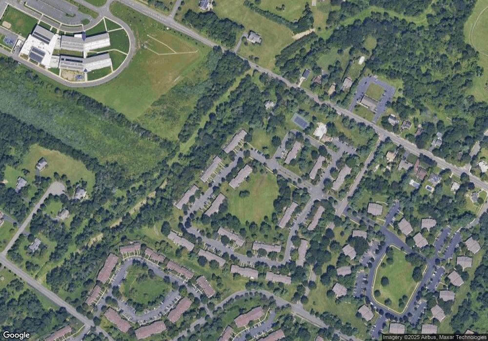
Map
Nearby Homes
- 75 Pear Tree Ln Unit 10C
- 130 Lindsey Ct
- 44 Crabapple Ln
- 65 Townsend Ct Unit 213
- 65 Townsend Ct
- 1 Lyon La
- 1 Lyon Ln
- 89 Lindsey Ct Unit 4021
- 205 Rachel Ct
- 181 Rachel Ct
- 167 Rachel Ct
- 139 Rachel Ct Unit D1
- 147 Rachel Ct
- 107 Rachel Ct
- 69 Fisher Dr
- 124 Edward Dr
- 8 Amethyst Way
- 21 Gregory Ln Unit F1
- 27 Topaz Dr
- 93 Gregory La Ln
- 99 Pear Tree Ln
- 97 Pear Tree Ln Unit 13A
- 97 Pear Tree Ln Unit 131
- 100 Pear Tree Ln Unit 13D
- 100 Pear Tree Ln Unit 134
- 101 Pear Tree Ln
- 102 Pear Tree Ln
- 103 Pear Tree Ln Unit 13G
- 104 Pear Tree Ln Unit 13H
- 123 Claremont Rd
- 105 Pear Tree Ln
- 106 Pear Tree Ln
- 108 Pear Tree Ln
- 107 Pear Tree Ln
- 96 Pear Tree Ln
- 96 Pear Tree Ln Unit 128
- 95 Pear Tree Ln
- 94 Pear Tree Ln
- 109 Pear Tree Ln
- 110 Pear Tree Ln