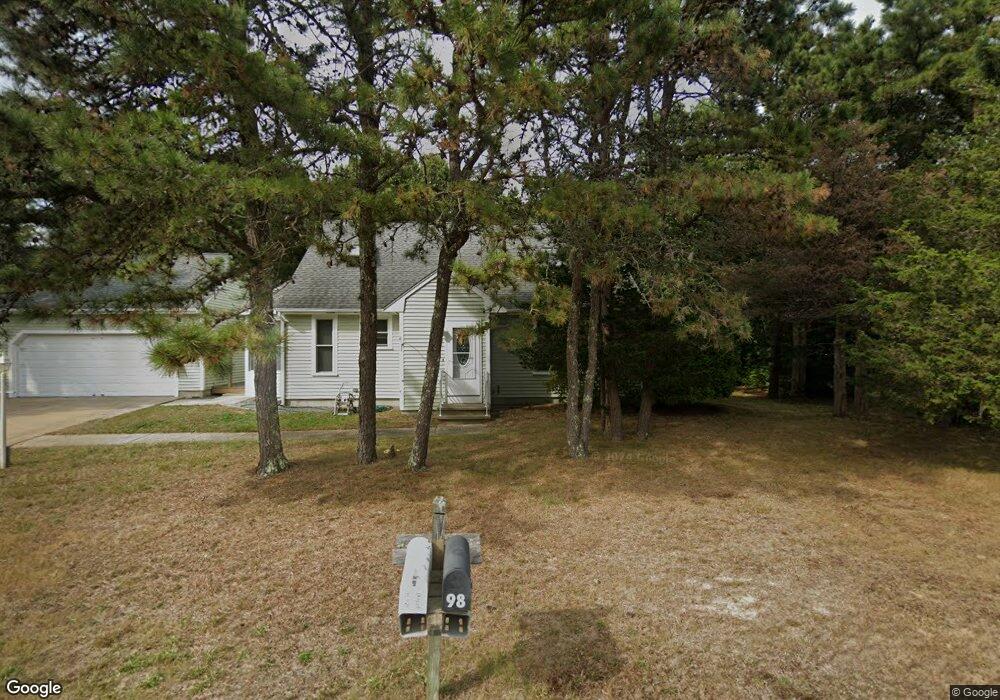
98 Pheasant Ln East Falmouth, MA 02536
Estimated Value: $723,000 - $786,000
3
Beds
3
Baths
1,168
Sq Ft
$652/Sq Ft
Est. Value
About This Home
This home is located at 98 Pheasant Ln, East Falmouth, MA 02536 and is currently estimated at $761,883, approximately $652 per square foot. 98 Pheasant Ln is a home located in Barnstable County with nearby schools including East Falmouth Elementary School, Morse Pond School, and Lawrence School.
Ownership History
Date
Name
Owned For
Owner Type
Purchase Details
Closed on
Nov 2, 2023
Sold by
Vankeuren Barbara D
Bought by
Barbara D Van Keuren Ret and Van Keuren
Current Estimated Value
Purchase Details
Closed on
Jun 6, 1988
Sold by
Snow Frank R
Bought by
Vankeuran Edward T
Home Financials for this Owner
Home Financials are based on the most recent Mortgage that was taken out on this home.
Original Mortgage
$143,000
Interest Rate
10.24%
Mortgage Type
Purchase Money Mortgage
Create a Home Valuation Report for This Property
The Home Valuation Report is an in-depth analysis detailing your home's value as well as a comparison with similar homes in the area
Home Values in the Area
Average Home Value in this Area
Purchase History
| Date | Buyer | Sale Price | Title Company |
|---|---|---|---|
| Barbara D Van Keuren Ret | -- | None Available | |
| Barbara D Van Keuren Ret | -- | None Available | |
| Vankeuran Edward T | $159,900 | -- |
Source: Public Records
Mortgage History
| Date | Status | Borrower | Loan Amount |
|---|---|---|---|
| Previous Owner | Vankeuran Edward T | $100,000 | |
| Previous Owner | Vankeuran Edward T | $143,000 |
Source: Public Records
Tax History Compared to Growth
Tax History
| Year | Tax Paid | Tax Assessment Tax Assessment Total Assessment is a certain percentage of the fair market value that is determined by local assessors to be the total taxable value of land and additions on the property. | Land | Improvement |
|---|---|---|---|---|
| 2025 | $3,608 | $614,600 | $262,500 | $352,100 |
| 2024 | $3,518 | $560,200 | $234,400 | $325,800 |
| 2023 | $3,236 | $467,600 | $187,500 | $280,100 |
| 2022 | $3,322 | $412,700 | $162,800 | $249,900 |
| 2021 | $3,050 | $358,800 | $155,700 | $203,100 |
| 2020 | $2,961 | $344,700 | $141,600 | $203,100 |
| 2019 | $2,767 | $323,200 | $141,600 | $181,600 |
| 2018 | $2,711 | $315,200 | $141,600 | $173,600 |
| 2017 | $2,629 | $308,200 | $141,600 | $166,600 |
| 2016 | $2,580 | $308,200 | $141,600 | $166,600 |
| 2015 | $2,524 | $308,200 | $141,600 | $166,600 |
| 2014 | $2,543 | $312,000 | $146,100 | $165,900 |
Source: Public Records
Map
Nearby Homes
- 241 Davisville Rd
- 30 Weatherglass Ln
- 9 Theroux Dr
- 27 Harborview Dr
- 58 Striper Ln
- 37 Seashell Ln
- 13 Suncrest Dr
- 87 Acapesket Rd Unit 3A
- 87 Acapesket Rd Unit 3B
- 16 Edgewood Dr
- 45 Green Pond Rd
- Lot 7 Sailaway Ln
- Lot 6 Sailaway Ln
- 23 N Bournes Pond Rd
- 23 N Bournes Pond Rd
- 42 Hanson Cir
- 28 Sheila Way
- 27 Emerald Ln
- 94 Pheasant Ln
- 104 Pheasant Ln
- 81 Seatucket Rd
- 87 Seatucket Rd
- 95 Pheasant Ln
- 101 Pheasant Ln
- 79 Seatucket Rd
- 108 Pheasant Ln
- 89 Pheasant Ln
- 93 Seatucket Rd
- 88 Seatucket Rd
- 82 Seatucket Rd
- 94 Seatucket Rd
- 107 Pheasant Ln
- 112 Pheasant Ln
- 83 Pheasant Ln
- 21 Pheasant Ln
- 17 Pheasant Ln
- 73 Seatucket Rd
- 82 Pheasant Ln