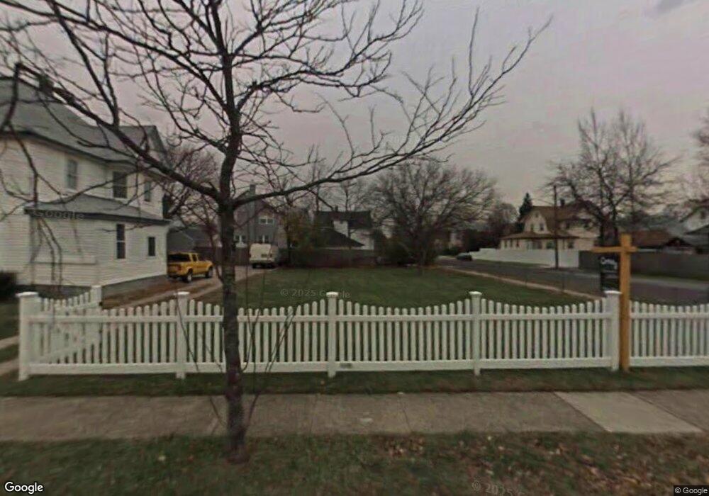
98 Rutland Rd Freeport, NY 11520
Estimated Value: $617,000 - $690,496
Studio
--
Bath
1,845
Sq Ft
$354/Sq Ft
Est. Value
About This Home
This home is located at 98 Rutland Rd, Freeport, NY 11520 and is currently estimated at $653,748, approximately $354 per square foot. 98 Rutland Rd is a home with nearby schools including Columbus Avenue School, Caroline G. Atkinson Intermediate School, and John W Dodd Middle School.
Ownership History
Date
Name
Owned For
Owner Type
Purchase Details
Closed on
Dec 16, 2016
Sold by
Dingle Bay Enterprises Ltd
Bought by
Jadorie Hemchand
Current Estimated Value
Home Financials for this Owner
Home Financials are based on the most recent Mortgage that was taken out on this home.
Original Mortgage
$386,650
Outstanding Balance
$320,392
Interest Rate
4.4%
Mortgage Type
FHA
Estimated Equity
$333,356
Create a Home Valuation Report for This Property
The Home Valuation Report is an in-depth analysis detailing your home's value as well as a comparison with similar homes in the area
Home Values in the Area
Average Home Value in this Area
Purchase History
| Date | Buyer | Sale Price | Title Company |
|---|---|---|---|
| Jadorie Hemchand | $400,000 | Fidelity National Title Insu |
Source: Public Records
Mortgage History
| Date | Status | Borrower | Loan Amount |
|---|---|---|---|
| Open | Jadorie Hemchand | $386,650 |
Source: Public Records
Tax History
| Year | Tax Paid | Tax Assessment Tax Assessment Total Assessment is a certain percentage of the fair market value that is determined by local assessors to be the total taxable value of land and additions on the property. | Land | Improvement |
|---|---|---|---|---|
| 2025 | $8,862 | $411 | $114 | $297 |
| 2024 | $911 | $411 | $114 | $297 |
Source: Public Records
Map
Nearby Homes
- 96 N Columbus Ave
- 98 N Columbus Ave
- 58 Rutland Rd
- 58 Shonnard Ave
- 6 Frederick Ave
- 26 Rosedale Ave
- 33 Willow Ave
- 78 Jesse St
- 173 E Seaman Ave
- 67 E Dean St
- 247 N Columbus Ave
- 101 Harris Ave
- 45 Dehnhoff Ave
- 85 Bedford Ave
- 63 E Seaman Ave
- 70 N Grove St Unit 1N
- 70 N Grove St Unit 1R
- 70 S Main St Unit 307-PH
- 188 Woodside Ave
- 35 W Seaman Ave
- 100 Rutland Rd
- 96 Rutland Rd
- 99 Shonnard Ave
- 122 Rutland Rd
- 103 Shonnard Ave
- 91 Shonnard Ave
- 105 Shonnard Ave
- 92 Rutland Rd
- 111 Rutland Rd
- 188 Grand Ave
- 107 Shonnard Ave
- 103 Rutland Rd
- 200 Grand Ave
- 89 Shonnard Ave
- 90 Rutland Rd
- 182 Grand Ave
- 79 Rutland Rd
- 85 Shonnard Ave
- 204 Grand Ave
- 77 Rutland Rd
Your Personal Tour Guide
Ask me questions while you tour the home.