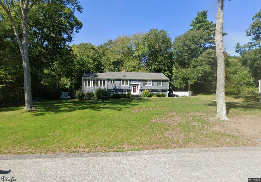
98 Satuit Trail Scituate, MA 02066
Estimated Value: $927,803 - $1,169,000
4
Beds
3
Baths
2,428
Sq Ft
$442/Sq Ft
Est. Value
About This Home
This home is located at 98 Satuit Trail, Scituate, MA 02066 and is currently estimated at $1,072,701, approximately $441 per square foot. 98 Satuit Trail is a home located in Plymouth County with nearby schools including Jenkins Elementary School, Lester J. Gates Middle School, and Scituate High School.
Ownership History
Date
Name
Owned For
Owner Type
Purchase Details
Closed on
Apr 16, 2019
Sold by
Traylor Thomas E and Keating-Traylor Sarah
Bought by
Miller Justin M and Miller Kaitlin M
Current Estimated Value
Home Financials for this Owner
Home Financials are based on the most recent Mortgage that was taken out on this home.
Original Mortgage
$484,500
Outstanding Balance
$425,962
Interest Rate
4.3%
Mortgage Type
New Conventional
Estimated Equity
$646,739
Purchase Details
Closed on
May 9, 2013
Sold by
Loggan Kenneth P and Logan Patricia C
Bought by
Traylor Thomas E and Traylor Sarah K
Home Financials for this Owner
Home Financials are based on the most recent Mortgage that was taken out on this home.
Original Mortgage
$417,000
Interest Rate
3.6%
Mortgage Type
New Conventional
Purchase Details
Closed on
May 16, 1997
Sold by
Mcdonald Jacqueline H
Bought by
Logan Kenneth P and Logan Patricia C
Create a Home Valuation Report for This Property
The Home Valuation Report is an in-depth analysis detailing your home's value as well as a comparison with similar homes in the area
Home Values in the Area
Average Home Value in this Area
Purchase History
| Date | Buyer | Sale Price | Title Company |
|---|---|---|---|
| Miller Justin M | $655,000 | -- | |
| Traylor Thomas E | $500,000 | -- | |
| Traylor Thomas E | $500,000 | -- | |
| Logan Kenneth P | $284,000 | -- |
Source: Public Records
Mortgage History
| Date | Status | Borrower | Loan Amount |
|---|---|---|---|
| Open | Miller Justin M | $484,500 | |
| Previous Owner | Traylor Thomas E | $417,000 | |
| Previous Owner | Logan Kenneth P | $140,000 | |
| Previous Owner | Logan Kenneth P | $273,750 | |
| Previous Owner | Logan Kenneth P | $270,100 |
Source: Public Records
Tax History
| Year | Tax Paid | Tax Assessment Tax Assessment Total Assessment is a certain percentage of the fair market value that is determined by local assessors to be the total taxable value of land and additions on the property. | Land | Improvement |
|---|---|---|---|---|
| 2025 | $7,952 | $796,000 | $401,000 | $395,000 |
| 2024 | $7,789 | $751,800 | $364,500 | $387,300 |
| 2023 | $7,674 | $698,900 | $349,800 | $349,100 |
| 2022 | $7,674 | $608,100 | $323,100 | $285,000 |
| 2021 | $7,373 | $553,100 | $307,700 | $245,400 |
| 2020 | $7,312 | $541,600 | $295,800 | $245,800 |
| 2019 | $6,943 | $505,300 | $290,000 | $215,300 |
| 2018 | $6,875 | $492,800 | $299,200 | $193,600 |
| 2017 | $6,774 | $480,800 | $287,200 | $193,600 |
| 2016 | $6,461 | $456,900 | $263,300 | $193,600 |
| 2015 | $5,828 | $444,900 | $251,300 | $193,600 |
Source: Public Records
Map
Nearby Homes
- 98 Satuit Trail
- 334 Chief Justice Cushing Hwy
- 94 Old Oaken Bucket Rd
- 14 Old Country Way Unit C
- 14 Old Country Way Unit B
- 21 Jenkins Place
- 19 Ford Place Unit 1
- 19 Ford Place Unit 2
- 138 Judge Cushing Rd
- 115 Elm St
- 111 Elm St
- 20 Grace Way Unit 20
- 6 Grace Way Unit 6
- 27 Grace Way
- 25 Grace Way
- 34 Ladds Way
- 34 Cudworth Rd
- 327 Country Way
- 9 Cushing Park Rd
- 15 Bearce Ln
- 98 Satuit Trail Unit single
- 104 Satuit Trail
- 90 Satuit Trail
- 101 Satuit Trail
- 1 Sherman Dr
- 108 Satuit Trail
- 107 Satuit Trail
- 84 Satuit Trail
- 81 Satuit Trail
- 109 Satuit Trail
- 5 Sherman Dr
- 10 Wamsutta Rd
- 354 Chief Justice Cushing Hwy
- 340 Chief Justice Cushing Hwy
- 67 Satuit Trail
- 11 Wamsutta Rd
- 346 Chief Justice Cushing Hwy
- 346 Chief Justice Cushing Hwy
- 9 Metacomett Rd
- 8 Sherman Dr
Your Personal Tour Guide
Ask me questions while you tour the home.