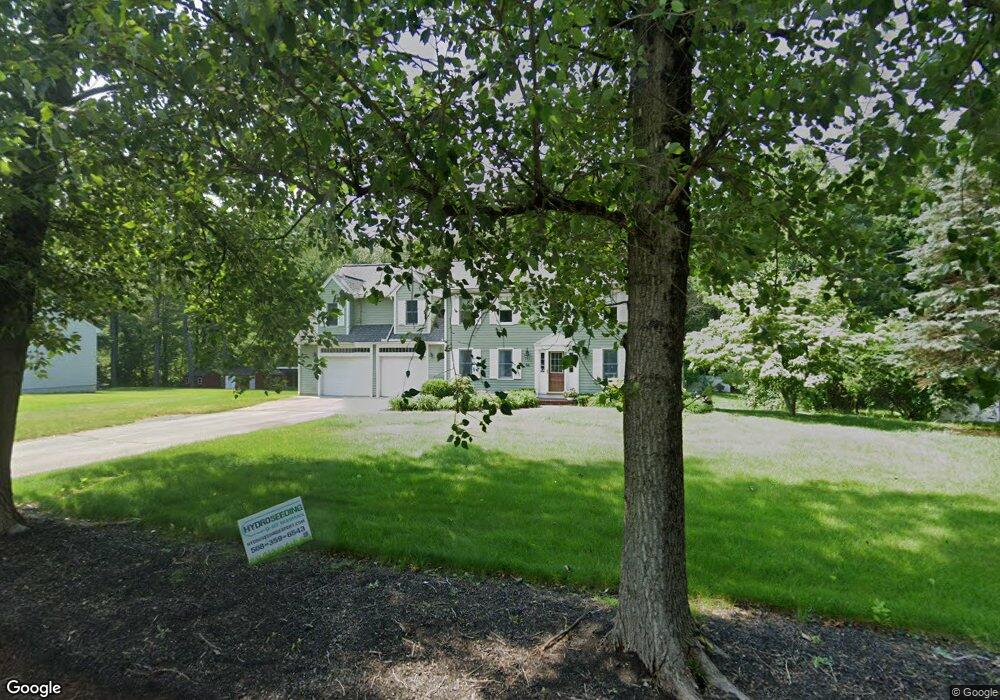
98 Stearns Ave Mansfield, MA 02048
Estimated Value: $903,599 - $1,064,000
3
Beds
2
Baths
2,783
Sq Ft
$355/Sq Ft
Est. Value
About This Home
This home is located at 98 Stearns Ave, Mansfield, MA 02048 and is currently estimated at $989,150, approximately $355 per square foot. 98 Stearns Ave is a home located in Bristol County with nearby schools including Jordan/Jackson Elementary School, Everett W. Robinson Elementary School, and Harold L. Qualters Middle School.
Ownership History
Date
Name
Owned For
Owner Type
Purchase Details
Closed on
Jun 30, 1995
Sold by
Vas Land Corp
Bought by
Reardon Matthew F and Reardon Lesley E
Current Estimated Value
Purchase Details
Closed on
Mar 6, 1995
Sold by
Carine Rt
Bought by
Vas Land Corp
Create a Home Valuation Report for This Property
The Home Valuation Report is an in-depth analysis detailing your home's value as well as a comparison with similar homes in the area
Home Values in the Area
Average Home Value in this Area
Purchase History
| Date | Buyer | Sale Price | Title Company |
|---|---|---|---|
| Reardon Matthew F | $182,000 | -- | |
| Vas Land Corp | $63,000 | -- |
Source: Public Records
Mortgage History
| Date | Status | Borrower | Loan Amount |
|---|---|---|---|
| Open | Vas Land Corp | $290,000 | |
| Closed | Vas Land Corp | $295,000 |
Source: Public Records
Tax History Compared to Growth
Tax History
| Year | Tax Paid | Tax Assessment Tax Assessment Total Assessment is a certain percentage of the fair market value that is determined by local assessors to be the total taxable value of land and additions on the property. | Land | Improvement |
|---|---|---|---|---|
| 2025 | $10,490 | $796,500 | $266,600 | $529,900 |
| 2024 | $9,816 | $727,100 | $254,500 | $472,600 |
| 2023 | $9,120 | $647,300 | $254,500 | $392,800 |
| 2022 | $8,739 | $576,100 | $235,500 | $340,600 |
| 2021 | $9,101 | $592,500 | $224,400 | $368,100 |
| 2020 | $8,519 | $554,600 | $196,400 | $358,200 |
| 2019 | $8,347 | $548,400 | $186,900 | $361,500 |
| 2018 | $8,303 | $533,300 | $178,300 | $355,000 |
| 2017 | $7,785 | $518,300 | $173,200 | $345,100 |
| 2016 | $7,560 | $490,600 | $164,900 | $325,700 |
| 2015 | $7,344 | $473,800 | $164,900 | $308,900 |
Source: Public Records
Map
Nearby Homes
- 10 Erick Rd Unit 31
- 10 Erick Rd Unit 34
- 5 Pineview Terrace
- 3 Cushing Ln
- 4 Shadybrook Ln
- 631 East St Unit H102
- 631 East St Unit B102
- 4 Plantation Rd
- 55-57 Pine Needle Ln
- 25 Winter St
- 46 Kerry Dr
- 409 Pratt St
- 96 Kevins Way
- 3 Nicole Rd
- 5 Ian Keats Dr
- 27 Necco Rd
- 29 Owl Ridge Rd
- 34 Kevins Way
- 43 Kathleen Grant Rd
- 98 Massapoag Ave
- 106 Stearns Ave
- 90 Stearns Ave
- 114 Stearns Ave
- 109 Stearns Ave
- 97 Stearns Ave
- 115 Stearns Ave
- 91 Stearns Ave
- 120 Stearns Ave
- 121 Stearns Ave
- 82 Stearns Ave
- 151 Stearns Ave
- 23 Tanya Dr
- 29 Tanya Dr
- 153 Stearns Ave
- 17 Tanya Dr
- 35 Tanya Dr
- 2 Erick Rd
- 6 Erick Rd Unit 85
- 6 Erick Rd Unit 84
- 6 Erick Rd Unit 83