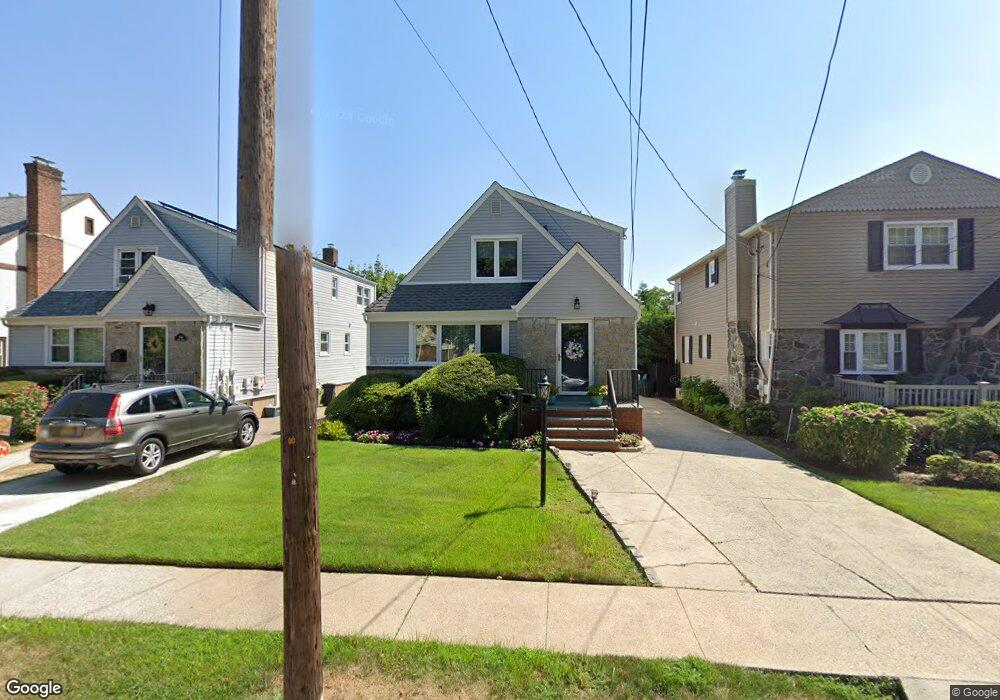
98 Stuart St Lynbrook, NY 11563
Estimated Value: $704,979 - $817,000
3
Beds
2
Baths
1,578
Sq Ft
$488/Sq Ft
Est. Value
About This Home
This home is located at 98 Stuart St, Lynbrook, NY 11563 and is currently estimated at $769,745, approximately $487 per square foot. 98 Stuart St is a home located in Nassau County with nearby schools including Lynbrook Senior High School, Grace Lutheran School, and Our Lady of Lourdes School.
Ownership History
Date
Name
Owned For
Owner Type
Purchase Details
Closed on
Apr 1, 2021
Sold by
Schaffner Karen N
Bought by
Raghubir Anthony and Raghubir Judith
Current Estimated Value
Home Financials for this Owner
Home Financials are based on the most recent Mortgage that was taken out on this home.
Original Mortgage
$481,950
Outstanding Balance
$431,724
Interest Rate
3.05%
Mortgage Type
New Conventional
Estimated Equity
$338,021
Create a Home Valuation Report for This Property
The Home Valuation Report is an in-depth analysis detailing your home's value as well as a comparison with similar homes in the area
Home Values in the Area
Average Home Value in this Area
Purchase History
| Date | Buyer | Sale Price | Title Company |
|---|---|---|---|
| Raghubir Anthony | $642,600 | Stewart Title |
Source: Public Records
Mortgage History
| Date | Status | Borrower | Loan Amount |
|---|---|---|---|
| Open | Raghubir Anthony | $481,950 |
Source: Public Records
Tax History
| Year | Tax Paid | Tax Assessment Tax Assessment Total Assessment is a certain percentage of the fair market value that is determined by local assessors to be the total taxable value of land and additions on the property. | Land | Improvement |
|---|---|---|---|---|
| 2025 | $12,944 | $572 | $191 | $381 |
| 2024 | $1,243 | $572 | $191 | $381 |
Source: Public Records
Map
Nearby Homes
- 57 Carol St
- 40 Hendrickson Ave
- 64 Hodson Ave
- 90 Pearsall Ave
- 63 Central Ave
- 102 Franklin Ave
- 35 Carlton St
- 263 Foster Ave
- 127 Smith St
- 103 Smith St Unit 1
- 14 Hawthorne St
- 43 Webster St
- 21 Park Ave
- 71 Home St
- 72 Cedar Rd
- 29 Summit Ave
- 175 Hempstead Ave
- 205 Hempstead Ave
- 157 Hempstead Ave Unit B20
- 86 Taft Ave
- 98 Stuart St Unit Upper
- 94 Stuart St Unit WOOD
- 94 Stuart St
- 104 Stuart St
- 74 Stuart St
- 116 Stuart St
- 221 Kensington Rd
- 225 Kensington Rd
- 72 Stuart St
- 62 Russell St
- 219 Kensington Rd
- 229 Kensington Rd
- 120 Stuart St
- 73 Stuart St
- 68 Stuart St
- 77 Stuart St
- 217 Kensington Rd
- 231 Kensington Rd
- 58 Russell St
- 79 Stuart St
Your Personal Tour Guide
Ask me questions while you tour the home.