Estimated Value: $334,783 - $744,000
--
Bed
--
Bath
--
Sq Ft
7,492
Sq Ft Lot
About This Home
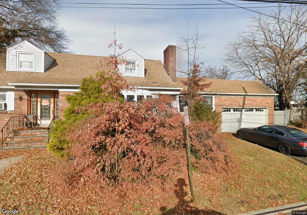
This home is located at 980 Apgar Ct, Union, NJ 07083 and is currently estimated at $594,446. 980 Apgar Ct is a home located in Union County with nearby schools including Battle Hill Elementary School, Burnet Middle School, and Union High School.
Ownership History
Date
Name
Owned For
Owner Type
Purchase Details
Closed on
Apr 23, 1997
Sold by
Slack Eunice R and Slack Theodore P
Bought by
Maksom Ibrahim and Maksom Lolita A
Current Estimated Value
Home Financials for this Owner
Home Financials are based on the most recent Mortgage that was taken out on this home.
Original Mortgage
$153,200
Outstanding Balance
$19,600
Interest Rate
7.77%
Mortgage Type
FHA
Estimated Equity
$574,846
Create a Home Valuation Report for This Property
The Home Valuation Report is an in-depth analysis detailing your home's value as well as a comparison with similar homes in the area
Home Values in the Area
Average Home Value in this Area
Purchase History
| Date | Buyer | Sale Price | Title Company |
|---|---|---|---|
| Maksom Ibrahim | $155,000 | -- |
Source: Public Records
Mortgage History
| Date | Status | Borrower | Loan Amount |
|---|---|---|---|
| Open | Maksom Ibrahim | $153,200 |
Source: Public Records
Tax History Compared to Growth
Tax History
| Year | Tax Paid | Tax Assessment Tax Assessment Total Assessment is a certain percentage of the fair market value that is determined by local assessors to be the total taxable value of land and additions on the property. | Land | Improvement |
|---|---|---|---|---|
| 2025 | $13,344 | $59,700 | $21,000 | $38,700 |
| 2024 | $12,330 | $59,700 | $21,000 | $38,700 |
| 2023 | $12,330 | $56,900 | $21,000 | $35,900 |
| 2022 | $11,901 | $56,900 | $21,000 | $35,900 |
| 2021 | $11,613 | $56,900 | $21,000 | $35,900 |
| 2020 | $11,381 | $56,900 | $21,000 | $35,900 |
| 2019 | $11,228 | $56,900 | $21,000 | $35,900 |
| 2018 | $11,037 | $56,900 | $21,000 | $35,900 |
| 2017 | $10,874 | $56,900 | $21,000 | $35,900 |
| 2016 | $10,608 | $56,900 | $21,000 | $35,900 |
| 2015 | $10,433 | $56,900 | $21,000 | $35,900 |
| 2014 | $10,199 | $56,900 | $21,000 | $35,900 |
Source: Public Records
Map
Nearby Homes
- 2389 Steuben St
- 920 Peach Tree Rd
- 887 Ray Ave
- 876 Garden St
- 888 Peach Tree Rd
- 2505 Girard Place
- 1080 Gruber Ave
- 8 Bashford Ave Unit 8
- 1114 Elker Rd
- 2 Bashford-B Unit B
- 195 Millton Ave
- 1163 Burnet Ave
- 2615 Burns Place
- 2249 Berwyn St
- 2641 Burns Place
- 2636 Frederick Terrace
- 2535 Standish Ave
- 160 Elmwood Ave
- 1114 W Chestnut St
- 10 Sadie Cir