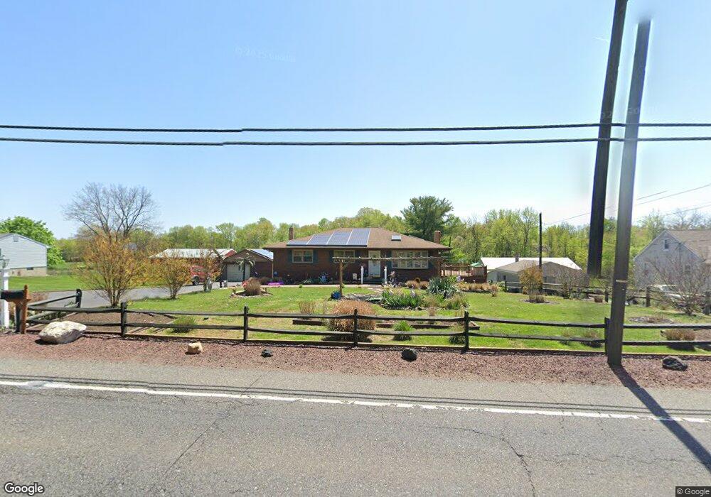
980 Kings Hwy West Deptford, NJ 08086
West Deptford Township NeighborhoodEstimated Value: $358,000 - $436,000
--
Bed
--
Bath
1,530
Sq Ft
$265/Sq Ft
Est. Value
About This Home
This home is located at 980 Kings Hwy, West Deptford, NJ 08086 and is currently estimated at $405,180, approximately $264 per square foot. 980 Kings Hwy is a home located in Gloucester County with nearby schools including Green-Fields Elementary School, Oakview Elementary School, and Red Bank Elementary School.
Ownership History
Date
Name
Owned For
Owner Type
Purchase Details
Closed on
Aug 20, 2007
Sold by
Westrum Swedesboro Llc
Bought by
Springridge Homeowners Assn Inc
Current Estimated Value
Purchase Details
Closed on
Feb 28, 2001
Sold by
Briggs Robert F and Briggs Suzanne M
Bought by
Ortholf Maryann
Home Financials for this Owner
Home Financials are based on the most recent Mortgage that was taken out on this home.
Original Mortgage
$159,700
Interest Rate
7.15%
Mortgage Type
FHA
Create a Home Valuation Report for This Property
The Home Valuation Report is an in-depth analysis detailing your home's value as well as a comparison with similar homes in the area
Home Values in the Area
Average Home Value in this Area
Purchase History
| Date | Buyer | Sale Price | Title Company |
|---|---|---|---|
| Springridge Homeowners Assn Inc | -- | None Available | |
| Ortholf Maryann | $161,000 | -- |
Source: Public Records
Mortgage History
| Date | Status | Borrower | Loan Amount |
|---|---|---|---|
| Previous Owner | Ortholf Maryann | $159,700 |
Source: Public Records
Tax History Compared to Growth
Tax History
| Year | Tax Paid | Tax Assessment Tax Assessment Total Assessment is a certain percentage of the fair market value that is determined by local assessors to be the total taxable value of land and additions on the property. | Land | Improvement |
|---|---|---|---|---|
| 2025 | $7,812 | $223,700 | $56,800 | $166,900 |
| 2024 | $7,711 | $223,700 | $56,800 | $166,900 |
| 2023 | $7,711 | $223,700 | $56,800 | $166,900 |
| 2022 | $7,675 | $223,700 | $56,800 | $166,900 |
| 2021 | $7,378 | $223,700 | $56,800 | $166,900 |
| 2020 | $7,630 | $223,700 | $56,800 | $166,900 |
| 2019 | $7,418 | $223,700 | $56,800 | $166,900 |
| 2018 | $7,217 | $223,700 | $56,800 | $166,900 |
| 2017 | $7,049 | $223,700 | $56,800 | $166,900 |
| 2016 | $6,852 | $223,700 | $56,800 | $166,900 |
| 2015 | $6,528 | $223,700 | $56,800 | $166,900 |
| 2014 | $6,128 | $223,700 | $56,800 | $166,900 |
Source: Public Records
Map
Nearby Homes
- 1066 Buckingham Dr
- 1012 Moore Rd Unit 6
- 1091 Buckingham Dr Unit 45
- 12 Highbridge Ln Unit I2
- 125 Lionheart Ln Unit C125
- 94 Aviary Rd
- 14 Aviary Rd
- 16 Maplewood Ct
- 90 Ginger Dr
- 87 Woodway Dr Unit 87
- 640 Worcester Dr
- 296 Ogden Station Rd
- 863 Doncaster Dr
- 1220 Royal Ln
- 10 Meadow Ln
- 1102 Barnesdale Rd
- 51 Holly Dr
- 740 Carter Hill Dr
- 15 Ash Ave
- 751 Garrison Ct
- 982 Kings Hwy
- 987 Kings Hwy
- 985 Kings Hwy
- 983 Kings Hwy
- 100 York Rd
- 104 York Rd
- 102 York Rd
- 106 York Rd
- 981 Kings Hwy
- 108 York Rd
- 972 Kings Hwy
- 101 York Rd
- 203 Hanover Rd
- 110 York Rd
- 1031 Buckingham Dr
- 1029 Buckingham Dr Unit 15
- 1033 Buckingham Dr
- 1025 Buckingham Dr Unit 13
- 1027 Buckingham Dr Unit 14
- 1035 Buckingham Dr Unit 18