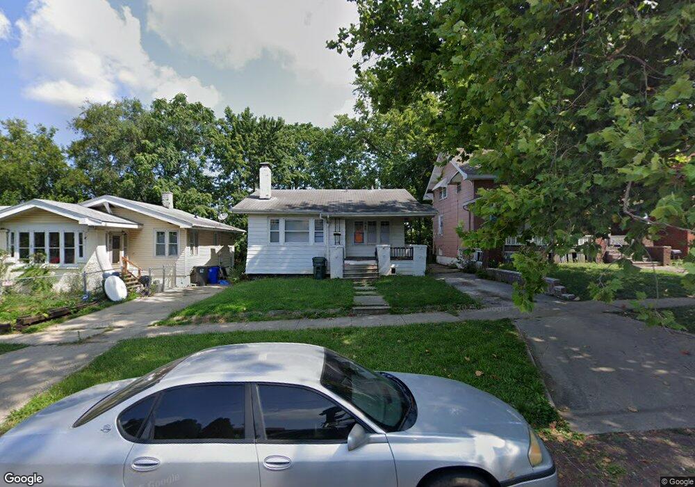
980 W William St Decatur, IL 62522
Millikin Home NeighborhoodEstimated Value: $52,000 - $55,000
2
Beds
1
Bath
1,906
Sq Ft
$28/Sq Ft
Est. Value
About This Home
This home is located at 980 W William St, Decatur, IL 62522 and is currently estimated at $53,000, approximately $27 per square foot. 980 W William St is a home located in Macon County with nearby schools including Dennis Lab School, St. Patrick School, and Teen Challenge-Home For Girls.
Ownership History
Date
Name
Owned For
Owner Type
Purchase Details
Closed on
Nov 29, 2007
Sold by
Mckenzie Richard A
Bought by
Lincoln Land Iiiinois Land Trust and Britt A Brown
Current Estimated Value
Home Financials for this Owner
Home Financials are based on the most recent Mortgage that was taken out on this home.
Original Mortgage
$20,800
Interest Rate
6.33%
Mortgage Type
Future Advance Clause Open End Mortgage
Purchase Details
Closed on
Sep 1, 1994
Create a Home Valuation Report for This Property
The Home Valuation Report is an in-depth analysis detailing your home's value as well as a comparison with similar homes in the area
Home Values in the Area
Average Home Value in this Area
Purchase History
| Date | Buyer | Sale Price | Title Company |
|---|---|---|---|
| Lincoln Land Iiiinois Land Trust | $25,000 | None Available | |
| -- | $25,000 | -- |
Source: Public Records
Mortgage History
| Date | Status | Borrower | Loan Amount |
|---|---|---|---|
| Closed | Lincoln Land Iiiinois Land Trust | $20,800 |
Source: Public Records
Tax History Compared to Growth
Tax History
| Year | Tax Paid | Tax Assessment Tax Assessment Total Assessment is a certain percentage of the fair market value that is determined by local assessors to be the total taxable value of land and additions on the property. | Land | Improvement |
|---|---|---|---|---|
| 2024 | $1,134 | $11,715 | $1,435 | $10,280 |
| 2023 | $1,125 | $11,300 | $1,384 | $9,916 |
| 2022 | $849 | $8,298 | $1,216 | $7,082 |
| 2021 | $797 | $7,749 | $1,135 | $6,614 |
| 2020 | $786 | $7,389 | $1,082 | $6,307 |
| 2019 | $786 | $7,389 | $1,082 | $6,307 |
| 2018 | $779 | $7,414 | $1,086 | $6,328 |
| 2017 | $797 | $7,612 | $1,115 | $6,497 |
| 2016 | $812 | $7,689 | $1,126 | $6,563 |
| 2015 | $772 | $7,553 | $1,106 | $6,447 |
| 2014 | $717 | $7,478 | $1,095 | $6,383 |
| 2013 | $741 | $7,759 | $1,136 | $6,623 |
Source: Public Records
Map
Nearby Homes
- 958 W William St
- 1005 W Main St
- 899 W Main St
- 254 N Pine St
- 717 W Prairie Ave Unit 2
- 609 W William St
- 1065 W Green St
- 657 W Wood St
- 612 W Macon St
- 875 N Monroe St
- 452 W Prairie Ave
- 442 W Prairie Ave
- 422 W William St
- 233 N Edward St
- 617 W Decatur St
- 366 W Prairie Ave
- 450 W Macon St
- 330 W William St
- 440 W Macon St
- 628 W Forest Ave
- 972 W William St
- 986 W William St
- 966 W William St
- 950 W William St
- 1005 W William St
- 969 W William St
- 942 W William St
- 1015 W William St
- 245 N Haworth Ave
- 1025 W William St
- 961 W William St
- 934 W William St
- 238 N Haworth Ave
- 237 N Haworth Ave
- 953 W William St
- 926 W William St
- 945 W William St
- 945 W William St
- 945 W William St Unit 1st floor
- 234 Home Ave