9801 Mayo Dr Barling, AR 72923
Estimated Value: $331,000 - $415,000
Studio
1
Bath
4,143
Sq Ft
$93/Sq Ft
Est. Value
About This Home
This home is located at 9801 Mayo Dr, Barling, AR 72923 and is currently estimated at $384,193, approximately $92 per square foot. 9801 Mayo Dr is a home located in Sebastian County with nearby schools including John P. Woods Elementary School, L.A. Chaffin Junior High School, and Southside High School.
Ownership History
Date
Name
Owned For
Owner Type
Purchase Details
Closed on
May 22, 2019
Sold by
Glidewell Karen Michelle
Bought by
Glidewell Karen Michelle and Karen Michelle Glidewell Trust
Current Estimated Value
Purchase Details
Closed on
May 17, 2019
Sold by
Carriger Katy Grace
Bought by
Karen Michelle Glidewell Trust
Purchase Details
Closed on
May 15, 2019
Sold by
Glidewell Karen Michelle and Glidewell Karen
Bought by
Glidewell Karen Courtney and Carriger Katy Grace
Purchase Details
Closed on
Sep 6, 1966
Bought by
Forsgren Grace B
Create a Home Valuation Report for This Property
The Home Valuation Report is an in-depth analysis detailing your home's value as well as a comparison with similar homes in the area
Home Values in the Area
Average Home Value in this Area
Purchase History
| Date | Buyer | Sale Price | Title Company |
|---|---|---|---|
| Glidewell Karen Michelle | -- | None Available | |
| Karen Michelle Glidewell Trust | -- | None Available | |
| Glidewell Karen Courtney | -- | None Available | |
| Glidewell Karen Michelle | -- | None Available | |
| Forsgren Grace B | -- | -- |
Source: Public Records
Tax History
| Year | Tax Paid | Tax Assessment Tax Assessment Total Assessment is a certain percentage of the fair market value that is determined by local assessors to be the total taxable value of land and additions on the property. | Land | Improvement |
|---|---|---|---|---|
| 2025 | $2,977 | $74,978 | $4,040 | $70,938 |
| 2024 | $2,564 | $48,843 | $4,040 | $44,803 |
| 2023 | $2,411 | $48,843 | $4,040 | $44,803 |
| 2022 | $1,989 | $40,770 | $4,040 | $36,730 |
| 2021 | $1,886 | $40,770 | $4,040 | $36,730 |
| 2020 | $1,783 | $40,770 | $4,040 | $36,730 |
| 2019 | $1,680 | $35,400 | $4,040 | $31,360 |
| 2018 | $1,705 | $35,400 | $4,040 | $31,360 |
| 2017 | $1,509 | $80,580 | $40,620 | $39,960 |
| 2016 | $3,039 | $80,580 | $40,620 | $39,960 |
| 2015 | $3,039 | $80,580 | $40,620 | $39,960 |
| 2014 | $2,544 | $55,120 | $13,720 | $41,400 |
Source: Public Records
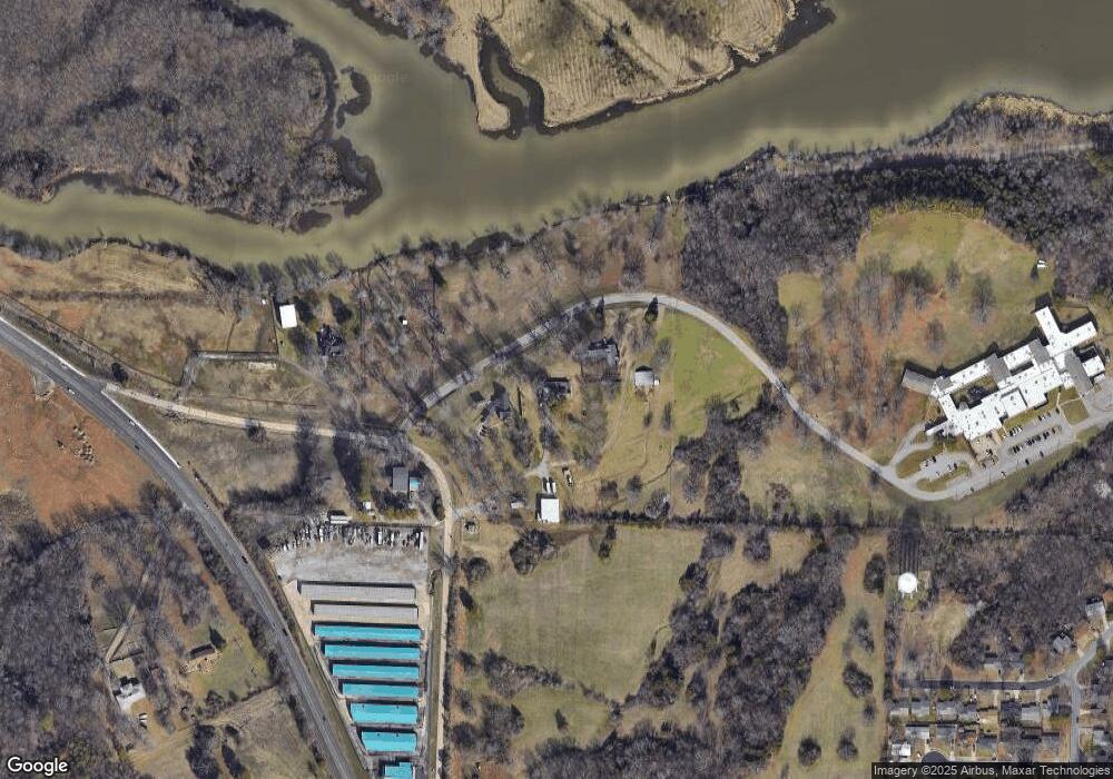
Map
Nearby Homes
- 1508 M Cir
- 1503 14th Cir
- 10000 Turtle Bay
- 1512 14th Cir
- 9912 Turtle Bay
- 1407 14th Cir
- 3708 Sandy Point
- 1002 Pattie Ln
- 9805 Turtle Bay
- 904 22nd St
- 10019 Meandering Way
- 1009 N St
- 10920 Hunters Point Rd
- 10008 Foxboro Rd
- 3211 Village Rd
- 4616 S 96th St
- 10101 Foxboro Rd
- 1020 Hunter Dr
- 1100 Hunter Dr
- 1114 Hunter
Your Personal Tour Guide
Ask me questions while you tour the home.