9802 Laduke Rd Freeland, MI 48623
Estimated Value: $430,224 - $559,000
3
Beds
2
Baths
1,370
Sq Ft
$347/Sq Ft
Est. Value
About This Home
This home is located at 9802 Laduke Rd, Freeland, MI 48623 and is currently estimated at $475,408, approximately $347 per square foot. 9802 Laduke Rd is a home located in Saginaw County with nearby schools including Freeland Learning Center, Freeland Elementary School, and Freeland Middle/High School.
Ownership History
Date
Name
Owned For
Owner Type
Purchase Details
Closed on
Dec 20, 2011
Sold by
Thering James D and Thering Jacquelyn D
Bought by
Thering James D
Current Estimated Value
Purchase Details
Closed on
May 29, 2003
Home Financials for this Owner
Home Financials are based on the most recent Mortgage that was taken out on this home.
Original Mortgage
$36,000
Interest Rate
5.3%
Mortgage Type
Purchase Money Mortgage
Create a Home Valuation Report for This Property
The Home Valuation Report is an in-depth analysis detailing your home's value as well as a comparison with similar homes in the area
Purchase History
| Date | Buyer | Sale Price | Title Company |
|---|---|---|---|
| Thering James D | -- | -- | |
| -- | $45,000 | -- | |
| Thering James D | $45,000 | Metropolitan Title Company |
Source: Public Records
Mortgage History
| Date | Status | Borrower | Loan Amount |
|---|---|---|---|
| Previous Owner | Thering James D | $36,000 |
Source: Public Records
Tax History
| Year | Tax Paid | Tax Assessment Tax Assessment Total Assessment is a certain percentage of the fair market value that is determined by local assessors to be the total taxable value of land and additions on the property. | Land | Improvement |
|---|---|---|---|---|
| 2025 | $1,563 | $196,500 | $0 | $0 |
| 2024 | $1,516 | $175,800 | $0 | $0 |
| 2023 | $1,444 | $155,200 | $0 | $0 |
| 2022 | $4,257 | $141,900 | $0 | $0 |
| 2021 | $3,885 | $132,300 | $0 | $0 |
| 2020 | $3,767 | $127,800 | $0 | $0 |
| 2019 | $3,672 | $127,000 | $0 | $0 |
| 2018 | $1,259 | $126,100 | $0 | $0 |
| 2017 | $3,167 | $111,100 | $0 | $0 |
| 2016 | $3,138 | $108,400 | $0 | $0 |
| 2014 | -- | $105,900 | $0 | $77,700 |
| 2013 | -- | $104,500 | $0 | $0 |
Source: Public Records
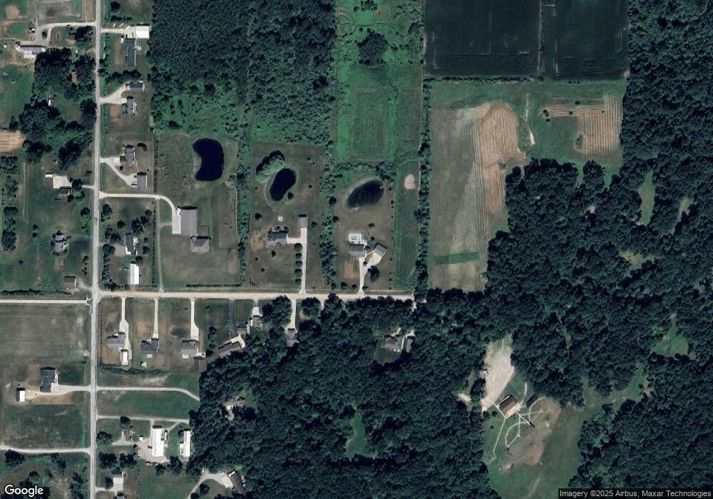
Map
Nearby Homes
- 10224 Sarle Rd
- 9924 Garner Ln
- 10585 Prairie View Ct
- 8674 Oakhill Dr
- 10138 Scott Rd
- 8657 Foxtail Trail
- 8535 Summer Ridge Dr
- 8426 Waxwing Dr
- 8442 Oakhill Dr
- 8314 Goldfinch Dr
- 8884 Copper Ct
- 8483 N River Rock River Rock Unit 8487
- 8981 Highland Dr
- 9160 Brook Hollow Ln
- 10123 Hawk Dr
- 226 S 7th St
- 10832 Carter Rd
- 315 S 2nd St
- 5749 11 Mile Rd
- 611 E Dawn Dr
- 9856 Laduke Rd
- 9715 Laduke Rd
- 9715 Laduke Rd
- 9849 Laduke Rd
- 9879 Laduke Rd
- 9893 Laduke Rd
- 9924 Laduke Rd
- 9929 Laduke Rd
- 9955 Laduke Rd
- 9955 Laduke Rd
- 9530 Webster Rd
- 9446 Webster Rd
- 9693 Laduke Rd
- 9602 Webster Rd
- 9989 Laduke Rd
- V/L Webster
- 9328 Webster Rd
- 9660 Webster Rd
- 9390 Webster Rd
- 9393 Webster Rd
Your Personal Tour Guide
Ask me questions while you tour the home.