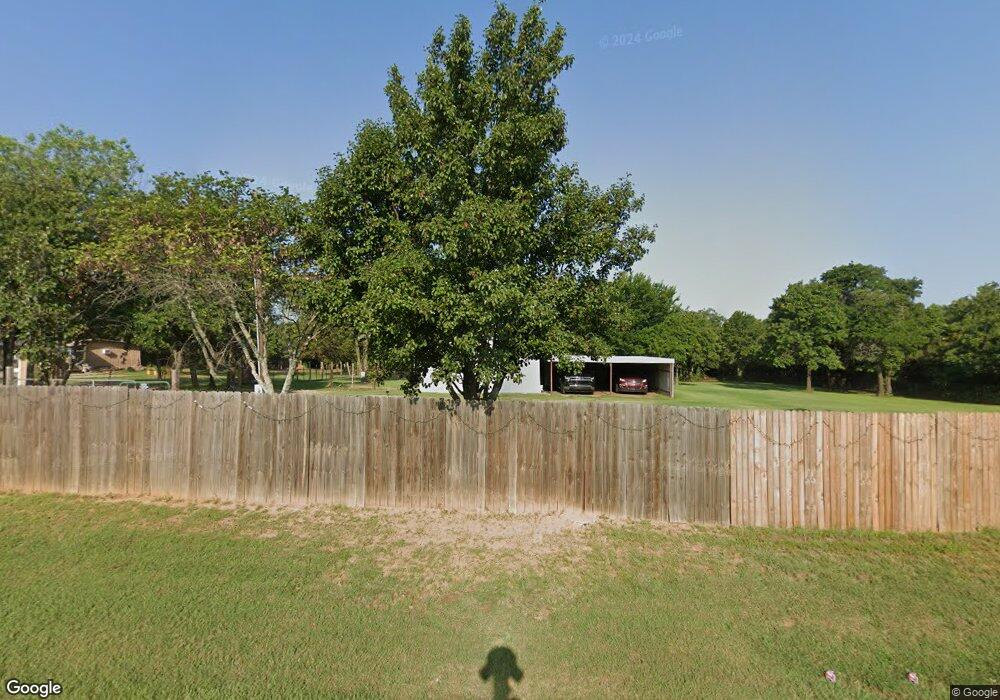
980275 S Highway 102 Wellston, OK 74881
Estimated Value: $104,996 - $186,000
2
Beds
1
Bath
1,000
Sq Ft
$159/Sq Ft
Est. Value
About This Home
This home is located at 980275 S Highway 102, Wellston, OK 74881 and is currently estimated at $159,249, approximately $159 per square foot. 980275 S Highway 102 is a home with nearby schools including Virginia Smith Elementary School, Russell Babb Elementary School, and Clara Reynolds Elementary School.
Ownership History
Date
Name
Owned For
Owner Type
Purchase Details
Closed on
May 16, 2023
Sold by
Boesee Thomas A
Bought by
Boese Thomas A and Batchelor Lori R
Current Estimated Value
Purchase Details
Closed on
May 31, 2000
Sold by
Mathes F Duane
Bought by
Milburn Paul M
Purchase Details
Closed on
Nov 5, 1998
Sold by
Milburn Paul M and Milburn Ann B
Bought by
Milburn Paul M
Purchase Details
Closed on
Feb 13, 1996
Sold by
Williams Stella L
Bought by
Milburn Paul M
Purchase Details
Closed on
Dec 21, 1994
Sold by
Milburn Paul M and Milburn Ann B
Bought by
Williams Stella L
Create a Home Valuation Report for This Property
The Home Valuation Report is an in-depth analysis detailing your home's value as well as a comparison with similar homes in the area
Home Values in the Area
Average Home Value in this Area
Purchase History
| Date | Buyer | Sale Price | Title Company |
|---|---|---|---|
| Boese Thomas A | -- | None Listed On Document | |
| Milburn Paul M | -- | -- | |
| Milburn Paul M | -- | -- | |
| Milburn Paul M | -- | -- | |
| Williams Stella L | $8,000 | -- |
Source: Public Records
Tax History Compared to Growth
Tax History
| Year | Tax Paid | Tax Assessment Tax Assessment Total Assessment is a certain percentage of the fair market value that is determined by local assessors to be the total taxable value of land and additions on the property. | Land | Improvement |
|---|---|---|---|---|
| 2024 | $352 | $3,822 | $825 | $2,997 |
| 2023 | $352 | $9,671 | $825 | $8,846 |
| 2022 | $314 | $4,822 | $407 | $4,415 |
| 2021 | $394 | $4,681 | $414 | $4,267 |
| 2020 | $388 | $4,544 | $421 | $4,123 |
| 2019 | $373 | $4,412 | $382 | $4,030 |
| 2018 | $342 | $4,070 | $575 | $3,495 |
| 2017 | $324 | $3,952 | $557 | $3,395 |
| 2016 | $413 | $3,837 | $505 | $3,332 |
| 2015 | $351 | $3,654 | $450 | $3,204 |
| 2014 | $294 | $3,480 | $413 | $3,067 |
Source: Public Records
Map
Nearby Homes
- 336241 E 980 Rd
- 9805754 S Oaktree Rd
- 980574 S Oaktree Rd
- 334358 E 980 Rd
- 980270 S Shadowwood Dr
- 980438 S Shadowwood Dr
- 0000 E 994 Rd
- 333631 Oak Hollow Dr
- 960461 S Highway 102
- 333775 Oak Hollow
- 21089 River Mist Dr
- 21081 River Mist Dr
- 3872 Ada Ave
- 3880 Ada Ave
- 3856 Louthea Ln
- 3872 Louthea Ln
- 3873 Ada Ave
- 3864 Louthea Ln
- 3865 Ada Ave
- 3864 Ada Ave
- 980283 S Highway 102
- 331943 E Northwood Dr
- 331961 E Northwood Dr
- 331976 E Summertree Rd
- 980312 S Ridge Ln
- 331930 E Summertree Rd
- 980344 S Highway 102
- 331932 E Northwood Dr
- 331881 E Northwood Dr
- 3100 E Northwood Cir
- 0 E Northwood Cir
- 980347 S Ridge Ln
- 980347 S Ridge Ln
- 331953 E Summer Tree Rd
- 331906 E Northwood Cir
- 331838 E Summertree Rd
- 0 E Northwood Dr Unit 857247
- 0 E Northwood Dr Unit 829149
- 980124 S Northwood Cir
- 331851 E Summertree Rd