9803 Mill Path San Antonio, TX 78254
Estimated Value: $226,539 - $270,000
3
Beds
2
Baths
1,295
Sq Ft
$191/Sq Ft
Est. Value
About This Home
This home is located at 9803 Mill Path, San Antonio, TX 78254 and is currently estimated at $247,385, approximately $191 per square foot. 9803 Mill Path is a home located in Bexar County with nearby schools including Fields Elementary, John M. Folks Middle, and School of Science and Technology Northwest.
Ownership History
Date
Name
Owned For
Owner Type
Purchase Details
Closed on
Jan 11, 2023
Sold by
Branson Richard Thomas
Bought by
Branson Carol Anne Warzyni
Current Estimated Value
Purchase Details
Closed on
Aug 22, 2008
Sold by
Castlerock Communities Lp
Bought by
Branson Richard Thomas and Branson Carol A
Home Financials for this Owner
Home Financials are based on the most recent Mortgage that was taken out on this home.
Original Mortgage
$140,003
Interest Rate
6.29%
Mortgage Type
VA
Purchase Details
Closed on
Aug 21, 2008
Sold by
Hj Enterprises Lp
Bought by
Castlerock Communities Lp
Home Financials for this Owner
Home Financials are based on the most recent Mortgage that was taken out on this home.
Original Mortgage
$140,003
Interest Rate
6.29%
Mortgage Type
VA
Create a Home Valuation Report for This Property
The Home Valuation Report is an in-depth analysis detailing your home's value as well as a comparison with similar homes in the area
Home Values in the Area
Average Home Value in this Area
Purchase History
| Date | Buyer | Sale Price | Title Company |
|---|---|---|---|
| Branson Carol Anne Warzyni | -- | -- | |
| Branson Richard Thomas | -- | Stc | |
| Castlerock Communities Lp | -- | Stc |
Source: Public Records
Mortgage History
| Date | Status | Borrower | Loan Amount |
|---|---|---|---|
| Previous Owner | Branson Richard Thomas | $140,003 |
Source: Public Records
Tax History
| Year | Tax Paid | Tax Assessment Tax Assessment Total Assessment is a certain percentage of the fair market value that is determined by local assessors to be the total taxable value of land and additions on the property. | Land | Improvement |
|---|---|---|---|---|
| 2025 | -- | $226,680 | $47,420 | $179,260 |
| 2024 | -- | $230,780 | $46,980 | $183,800 |
| 2023 | -- | $216,784 | $46,980 | $197,020 |
| 2022 | $4,003 | $197,076 | $39,170 | $188,000 |
| 2021 | $3,772 | $179,160 | $37,830 | $141,330 |
| 2020 | $3,683 | $171,250 | $37,830 | $133,420 |
| 2019 | $3,679 | $165,690 | $37,830 | $127,860 |
| 2018 | $3,491 | $157,070 | $37,830 | $119,240 |
| 2017 | $3,405 | $152,910 | $35,340 | $117,570 |
| 2016 | $3,386 | $152,020 | $35,340 | $116,680 |
| 2015 | $2,352 | $143,910 | $35,340 | $108,570 |
| 2014 | $2,352 | $136,990 | $0 | $0 |
Source: Public Records
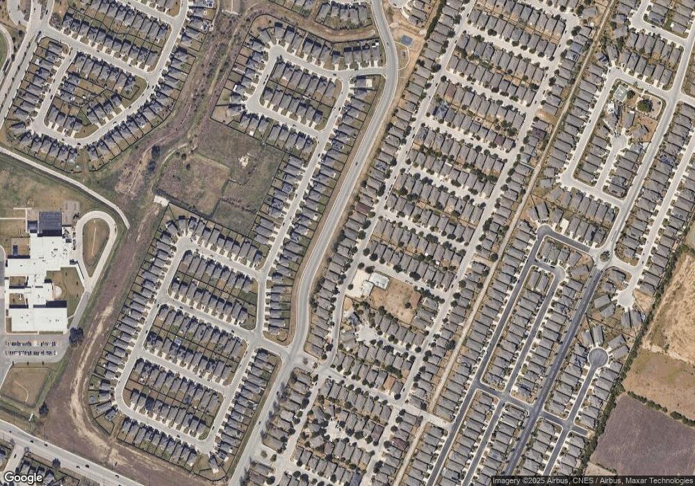
Map
Nearby Homes
- 9719 Mill Path
- 11935 Curtis Hill
- 11927 Curtis Hill
- 12027 Mill Village
- 9846 Silver Mist Way
- 12030 Silver Light
- 12037 Silver Light
- 11911 Cheney Glen
- 12042 Silver Light
- 9839 Mill Path
- 9907 Mill Path
- 9511 Mill Path
- 12074 Canyon Rock Ln
- 11723 Bricewood Tip
- 11830 Bricewood Pass
- 9618 Bricewood Tree
- 12122 Dawes Point
- 9910 Cowboy Ln
- 10110 Cowboy Ln
- 12419 Silver Mine
- 9807 Mill Path
- 9747 Mill Path
- 11939 Curtis Hill
- 9811 Mill Path
- 9743 Mill Path
- 9815 Mill Path
- 11938 Cheney Glen
- 9739 Mill Path
- 11931 Curtis Hill
- 11934 Cheney Glen
- 9819 Mill Path
- 9735 Mill Path
- 9823 Mill Path
- 9834 Silver Mist Way
- 9838 Silver Mist Way
- 11926 Cheney Glen
- 9731 Mill Path
- 9842 Silver Mist Way
- 11923 Curtis Hill
- 9827 Mill Path
Your Personal Tour Guide
Ask me questions while you tour the home.