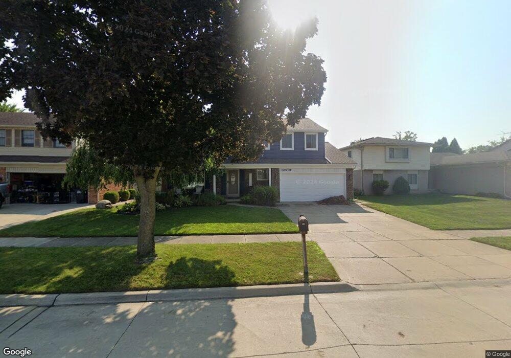
9803 Sil St Taylor, MI 48180
Estimated Value: $323,520 - $343,000
4
Beds
3
Baths
1,950
Sq Ft
$171/Sq Ft
Est. Value
About This Home
This home is located at 9803 Sil St, Taylor, MI 48180 and is currently estimated at $333,630, approximately $171 per square foot. 9803 Sil St is a home located in Wayne County with nearby schools including Holland Elementary School, Hoover Middle School, and Taylor High School.
Ownership History
Date
Name
Owned For
Owner Type
Purchase Details
Closed on
Sep 16, 2009
Sold by
Federal Deposit Insurance Corporation
Bought by
Deutsche Bank National Trust Company
Current Estimated Value
Purchase Details
Closed on
Mar 26, 2009
Sold by
Jakubiec Anthony
Bought by
Indymac Federal Bank Fsb
Purchase Details
Closed on
Aug 5, 2003
Sold by
Jakubiec Anthony and Calleja Kathryn
Bought by
Jakubiec Anthony
Purchase Details
Closed on
Jun 25, 2003
Sold by
Woolford James G and Woolford Michelle R
Bought by
Jakubiec Anthony
Purchase Details
Closed on
Nov 2, 1994
Sold by
Joseph A La Bo
Bought by
Woolford James G and Woolford Michelle R
Create a Home Valuation Report for This Property
The Home Valuation Report is an in-depth analysis detailing your home's value as well as a comparison with similar homes in the area
Home Values in the Area
Average Home Value in this Area
Purchase History
| Date | Buyer | Sale Price | Title Company |
|---|---|---|---|
| Deutsche Bank National Trust Company | -- | E Title | |
| Indymac Federal Bank Fsb | $109,970 | None Available | |
| Jakubiec Anthony | -- | Multiple | |
| Jakubiec Anthony | $211,000 | Multiple | |
| Woolford James G | $120,000 | -- |
Source: Public Records
Tax History
| Year | Tax Paid | Tax Assessment Tax Assessment Total Assessment is a certain percentage of the fair market value that is determined by local assessors to be the total taxable value of land and additions on the property. | Land | Improvement |
|---|---|---|---|---|
| 2025 | $2,887 | $167,200 | $0 | $0 |
| 2024 | $2,795 | $141,100 | $0 | $0 |
| 2023 | $3,393 | $127,400 | $0 | $0 |
| 2022 | $2,668 | $115,300 | $0 | $0 |
| 2021 | $2,940 | $106,200 | $0 | $0 |
| 2020 | $2,912 | $99,600 | $0 | $0 |
| 2019 | $291,148 | $92,900 | $0 | $0 |
| 2018 | $2,253 | $77,300 | $0 | $0 |
| 2017 | $1,345 | $73,800 | $0 | $0 |
| 2016 | $2,844 | $71,800 | $0 | $0 |
| 2015 | $5,090 | $58,000 | $0 | $0 |
| 2013 | $5,080 | $51,800 | $0 | $0 |
| 2012 | $2,240 | $51,300 | $15,300 | $36,000 |
Source: Public Records
Map
Nearby Homes
- 9717 Rose St
- 26336 Kinyon St
- 9267 Glenis St
- 9509 Sylvia St
- 9756 Janet St
- 25965 Labana Woods Dr
- 25790 Madden St
- 25315 Baker St
- 25556 Rusty St
- 0 Goddard Unit 20251010304
- 10352 Gulley St
- 25519 Rusty St
- 8853 Beech Daly Rd
- 11098 Partridge Dr Unit 12
- 11098 Partridge Dr
- 11216 Cape Cod St
- 26376 Partridge Dr Unit 89
- 26400 Partridge Dr Unit 88
- 25112 Madden St
- 11516 Pheasant Cir
Your Personal Tour Guide
Ask me questions while you tour the home.