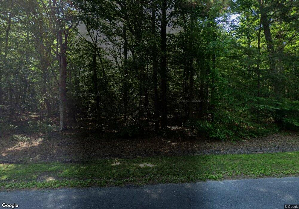
9804 Bantry Rd Easton, MD 21601
Estimated Value: $319,000 - $1,524,000
--
Bed
2
Baths
1,656
Sq Ft
$455/Sq Ft
Est. Value
About This Home
This home is located at 9804 Bantry Rd, Easton, MD 21601 and is currently estimated at $753,418, approximately $454 per square foot. 9804 Bantry Rd is a home located in Talbot County with nearby schools including St. Michaels Elementary School, St. Michaels Middle/High School, and Easton High School.
Ownership History
Date
Name
Owned For
Owner Type
Purchase Details
Closed on
Aug 9, 2022
Sold by
Laird W Stanton Rev Trust
Bought by
Miles Corey M and Miles Nicole
Current Estimated Value
Home Financials for this Owner
Home Financials are based on the most recent Mortgage that was taken out on this home.
Original Mortgage
$329,839
Outstanding Balance
$314,809
Interest Rate
5.3%
Mortgage Type
New Conventional
Estimated Equity
$438,609
Purchase Details
Closed on
Mar 26, 2019
Sold by
Stanton Laird W
Bought by
Laird Stanton and Laird W Stanton Revocable Trus
Purchase Details
Closed on
Apr 20, 1994
Sold by
Stanton and Stanton
Bought by
Stanton Laird W
Create a Home Valuation Report for This Property
The Home Valuation Report is an in-depth analysis detailing your home's value as well as a comparison with similar homes in the area
Home Values in the Area
Average Home Value in this Area
Purchase History
| Date | Buyer | Sale Price | Title Company |
|---|---|---|---|
| Miles Corey M | $220,000 | None Listed On Document | |
| Laird Stanton | -- | None Available | |
| Stanton Laird W | $98,500 | -- |
Source: Public Records
Mortgage History
| Date | Status | Borrower | Loan Amount |
|---|---|---|---|
| Open | Miles Corey M | $329,839 |
Source: Public Records
Tax History Compared to Growth
Tax History
| Year | Tax Paid | Tax Assessment Tax Assessment Total Assessment is a certain percentage of the fair market value that is determined by local assessors to be the total taxable value of land and additions on the property. | Land | Improvement |
|---|---|---|---|---|
| 2025 | $3,029 | $357,467 | $0 | $0 |
| 2024 | $3,029 | $331,700 | $184,800 | $146,900 |
| 2023 | $2,854 | $329,500 | $0 | $0 |
| 2022 | $2,636 | $327,300 | $0 | $0 |
| 2021 | $2,537 | $325,100 | $183,000 | $142,100 |
| 2020 | $2,437 | $317,300 | $0 | $0 |
| 2019 | $2,359 | $309,500 | $0 | $0 |
| 2018 | $2,208 | $301,700 | $183,000 | $118,700 |
| 2017 | $2,049 | $301,700 | $0 | $0 |
| 2016 | $2,065 | $301,700 | $0 | $0 |
| 2015 | $2,109 | $312,000 | $0 | $0 |
| 2014 | $2,109 | $312,000 | $0 | $0 |
Source: Public Records
Map
Nearby Homes
- 9900 Eagle Dr
- 9517 Gulleys Cove Ln
- 9361 Woodstock Ln
- 27413 Ferry Bridge Rd
- 8629 Unionville Rd
- 0 Unionville Rd Unit MDTA2008824
- 26972 Tunis Mills Rd
- 27460 Rest Cir
- 27772 Sharp Rd
- 10118 Hiners Ln
- 8534 Northbend Rd
- 27843 Saint Michaels Rd
- 27240 Hayward Trail
- 27232 Hayward Trail
- 29 Kensington Dr
- 28309 Village Lake Way
- Lot 12 Price St
- 0 Hunting Creek Ln Unit MDTA2011738
- 0 Ocean Gateway Unit MDTA2008568
- 0 Ocean Gateway Unit MDTA2009628
- 9784 Bantry Rd
- 9820 Bantry Rd
- 9760 Bantry Rd
- 27667 Ashby Dr
- 9795 Bantry Rd
- 27635 Ashby Dr
- 9746 Bantry Rd
- 9829 Bantry Rd
- 27825 Goldsborough Neck Rd
- 27717 Goldsborough Neck Rd
- 9753 Bantry Rd
- 9716 Bantry Rd
- 9851 Bantry Rd
- 27663 Goldsborough Neck Rd
- 27621 Ashby Dr
- 9741 Bantry Rd
- 27750 Goldsborough Neck Rd
- 9704 Bantry Rd
- 9703 Bantry Rd
- 27680 Goldsborough Neck Rd
