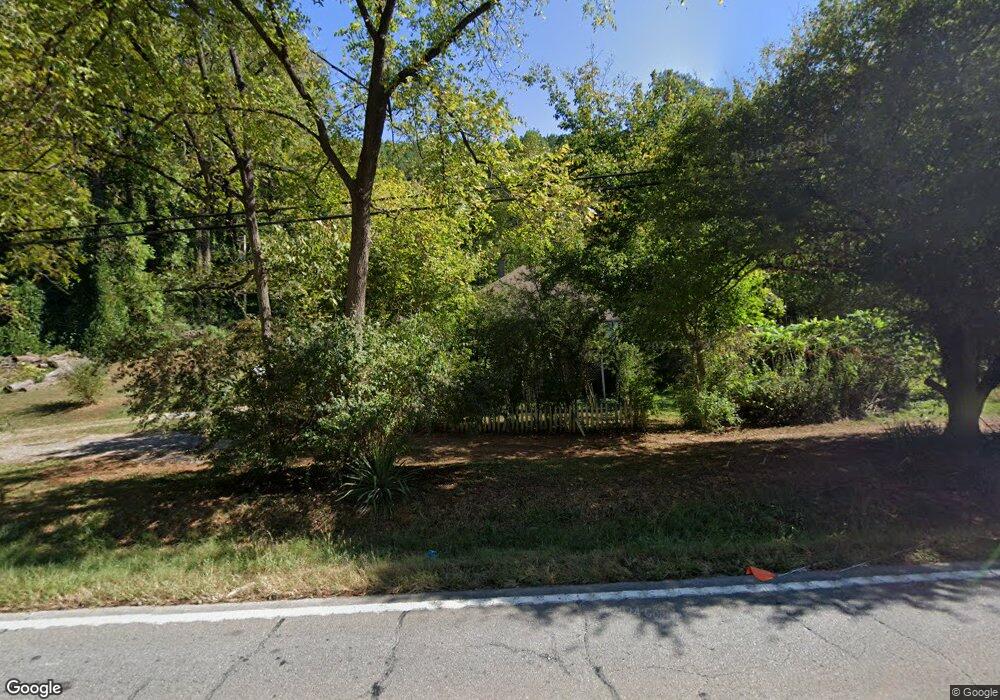
9807 Highway 53 Marble Hill, GA 30148
Estimated Value: $88,684 - $312,000
--
Bed
--
Bath
1,040
Sq Ft
$214/Sq Ft
Est. Value
About This Home
This home is located at 9807 Highway 53, Marble Hill, GA 30148 and is currently estimated at $222,421, approximately $213 per square foot. 9807 Highway 53 is a home located in Pickens County with nearby schools including Tate Elementary School, Pickens County Middle School, and Pickens County High School.
Ownership History
Date
Name
Owned For
Owner Type
Purchase Details
Closed on
Oct 31, 2023
Sold by
Pruett Nicholas
Bought by
Norris Zackery Michael Lee
Current Estimated Value
Purchase Details
Closed on
Jun 16, 2004
Sold by
Pruett Walter L
Bought by
Pruett Nicholas Walter
Purchase Details
Closed on
Oct 13, 1997
Bought by
Pruett Walter L
Purchase Details
Closed on
Nov 28, 1989
Sold by
Pruett Nicholas Walter
Bought by
Eaton Betty Parks
Create a Home Valuation Report for This Property
The Home Valuation Report is an in-depth analysis detailing your home's value as well as a comparison with similar homes in the area
Home Values in the Area
Average Home Value in this Area
Purchase History
| Date | Buyer | Sale Price | Title Company |
|---|---|---|---|
| Norris Zackery Michael Lee | -- | -- | |
| Pruett Nicholas Walter | -- | -- | |
| Pruett Walter L | $18,000 | -- | |
| Eaton Betty Parks | -- | -- |
Source: Public Records
Tax History Compared to Growth
Tax History
| Year | Tax Paid | Tax Assessment Tax Assessment Total Assessment is a certain percentage of the fair market value that is determined by local assessors to be the total taxable value of land and additions on the property. | Land | Improvement |
|---|---|---|---|---|
| 2024 | $377 | $19,068 | $4,528 | $14,540 |
| 2023 | $281 | $13,814 | $4,528 | $9,286 |
| 2022 | $281 | $13,814 | $4,528 | $9,286 |
| 2021 | $301 | $13,814 | $4,528 | $9,286 |
| 2020 | $310 | $13,814 | $4,528 | $9,286 |
| 2019 | $317 | $13,814 | $4,528 | $9,286 |
| 2018 | $320 | $13,814 | $4,528 | $9,286 |
| 2017 | $325 | $13,814 | $4,528 | $9,286 |
| 2016 | $326 | $13,640 | $4,353 | $9,286 |
| 2015 | $319 | $13,640 | $4,353 | $9,286 |
| 2014 | $319 | $13,640 | $4,353 | $9,286 |
| 2013 | -- | $13,639 | $4,353 | $9,286 |
Source: Public Records
Map
Nearby Homes
- 141 Marble Hill Church Rd
- 1671 Harrington Rd
- 9000 State Route 53 E
- 0 Dell Moore Rd
- 916 Cove Lake Dr
- 0 Chastain Ct Unit 7687538
- 0 Highway 53 E Unit 7635463
- 385 McClain Mountain Rd
- 388 Oxford Rd
- 354 Oxford Rd
- 359 Oxford Rd
- 960 Oxford Rd
- 329 Oxford Rd
- 7345 Skyline Dr
- 60 Cove Lake Dr
- 415 London Rd
- 458 Cherokee Wood Hollow
- 305 Wilkie Rd
- 0 Harley Trail Unit 7613414
- 0 Harley Trail Unit 10562584
- 9839 Highway 53
- 9777 Highway 53
- 59 Clint Ct
- 59 Clint Ct
- 10088 Highway 53
- 16 Clint Ct
- 9 Harrington Rd
- 17 Mcarthur Rd
- 0 Harrington Rd Unit LOT 1 7084972
- 0 Harrington Rd
- 0 Harrington Rd Unit 10425782
- 0 Harrington Rd Unit 7496543
- 0 Harrington Rd Unit 7521793
- 0 Harrington Rd Unit 7463754
- 0 Harrington Rd Unit 5594654
- 39 Stone Pathway
- 114 Mcarthur Rd Unit 914
- 46 Brookwood Dr
- 001 Marblehead Ln
- 0 Marblehead Ln Unit 8567993