9808 Farm Pond Rd Laurel, MD 20708
South Laurel NeighborhoodEstimated Value: $567,000 - $749,000
--
Bed
3
Baths
2,924
Sq Ft
$228/Sq Ft
Est. Value
About This Home
This home is located at 9808 Farm Pond Rd, Laurel, MD 20708 and is currently estimated at $667,058, approximately $228 per square foot. 9808 Farm Pond Rd is a home located in Prince George's County with nearby schools including Montpelier Elementary School, Laurel High School, and Tabernacle Learning Academy the.
Ownership History
Date
Name
Owned For
Owner Type
Purchase Details
Closed on
Jan 3, 2025
Sold by
Osayande Franklin E
Bought by
Franklin E Osayande Revocable Living Trust and Osayande
Current Estimated Value
Purchase Details
Closed on
Jan 4, 2020
Sold by
Osayande Franklin E and Abung Osayande Adin
Bought by
Osayande Franklin E
Home Financials for this Owner
Home Financials are based on the most recent Mortgage that was taken out on this home.
Original Mortgage
$361,000
Interest Rate
2.67%
Mortgage Type
New Conventional
Create a Home Valuation Report for This Property
The Home Valuation Report is an in-depth analysis detailing your home's value as well as a comparison with similar homes in the area
Home Values in the Area
Average Home Value in this Area
Purchase History
| Date | Buyer | Sale Price | Title Company |
|---|---|---|---|
| Franklin E Osayande Revocable Living Trust | -- | None Listed On Document | |
| Franklin E Osayande Revocable Living Trust | -- | None Listed On Document | |
| Osayande Franklin E | -- | Peak Settlements Llc |
Source: Public Records
Mortgage History
| Date | Status | Borrower | Loan Amount |
|---|---|---|---|
| Previous Owner | Osayande Franklin E | $361,000 |
Source: Public Records
Tax History Compared to Growth
Tax History
| Year | Tax Paid | Tax Assessment Tax Assessment Total Assessment is a certain percentage of the fair market value that is determined by local assessors to be the total taxable value of land and additions on the property. | Land | Improvement |
|---|---|---|---|---|
| 2025 | $8,544 | $589,900 | $141,200 | $448,700 |
| 2024 | $8,544 | $548,100 | $0 | $0 |
| 2023 | $5,630 | $506,300 | $0 | $0 |
| 2022 | $7,300 | $464,500 | $126,200 | $338,300 |
| 2021 | $7,065 | $448,700 | $0 | $0 |
| 2020 | $6,831 | $432,900 | $0 | $0 |
| 2019 | $5,973 | $417,100 | $100,600 | $316,500 |
| 2018 | $6,408 | $408,667 | $0 | $0 |
| 2017 | $6,220 | $400,233 | $0 | $0 |
| 2016 | -- | $391,800 | $0 | $0 |
| 2015 | $5,119 | $372,367 | $0 | $0 |
| 2014 | $5,119 | $352,933 | $0 | $0 |
Source: Public Records
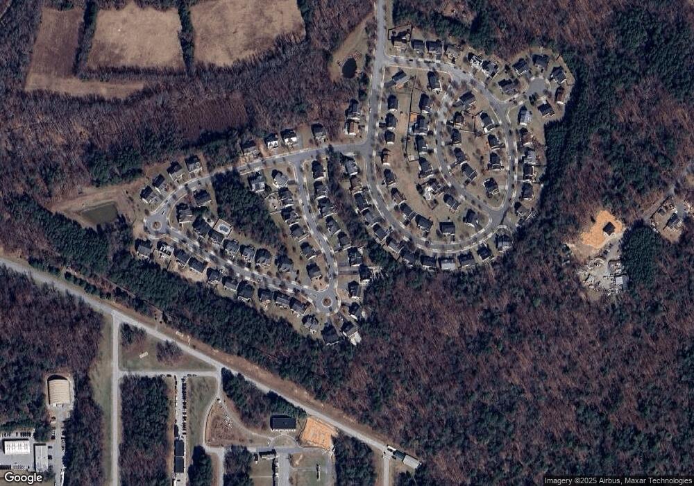
Map
Nearby Homes
- 11000 Snowden Pond Rd
- 11511 Basswood Ct
- 11362 Laurelwalk Dr
- 11386 Laurelwalk Dr
- 11408 Laurelwalk Dr
- 12101 Spirit Ave
- 11206 Poplar Grove Ct
- Westport Plan at Montpelier Highlands
- Belfast Plan at Montpelier Highlands
- 12103 Spirit Ave
- 12105 Spirit Ave
- 12107 Spirit Ave
- 12109 Spirit Ave
- 9204 Oregold Ct
- 12128 Running Bull Way
- 12124 Running Bull Way
- 12114 Running Bull Way
- 12306 Shadetree Ln
- 8806 Admiral Dr
- 12210 Valerie Ln
- 9810 Farm Pond Rd
- 9806 Farm Pond Rd
- 11216 Snowden Pond Rd
- 11214 Snowden Pond Rd
- 11218 Snowden Pond Rd
- 9804 Farm Pond Rd
- 9809 Farm Pond Rd
- 9812 Farm Pond Rd
- 9811 Farm Pond Rd
- 9807 Farm Pond Rd
- 9814 Farm Pond Rd
- 11220 Snowden Pond Rd
- 9802 Farm Pond Rd
- 9805 Farm Pond Rd
- 9827 Farm Pond Rd
- 11210 Snowden Pond Rd
- 9816 Farm Pond Rd
- 11215 Snowden Pond Rd
- 11211 Snowden Pond Rd
- 11222 Snowden Pond Rd