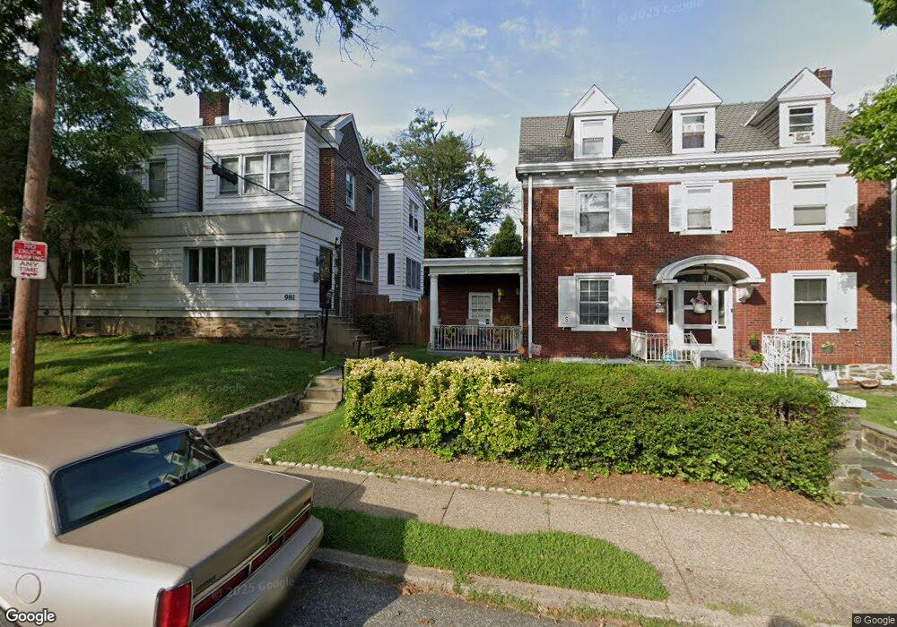
981 Allengrove St Philadelphia, PA 19124
Lawncrest NeighborhoodEstimated Value: $243,000 - $265,017
4
Beds
1
Bath
1,408
Sq Ft
$179/Sq Ft
Est. Value
About This Home
This home is located at 981 Allengrove St, Philadelphia, PA 19124 and is currently estimated at $251,504, approximately $178 per square foot. 981 Allengrove St is a home with nearby schools including Frankford High School, The Philadelphia Charter School for the Arts & Sciences, and Northwood Academy Charter School.
Ownership History
Date
Name
Owned For
Owner Type
Purchase Details
Closed on
Sep 12, 2002
Sold by
Heary John G and Heary Victoria A
Bought by
Mccoy Marlene C
Current Estimated Value
Home Financials for this Owner
Home Financials are based on the most recent Mortgage that was taken out on this home.
Original Mortgage
$98,124
Outstanding Balance
$40,689
Interest Rate
6.27%
Mortgage Type
FHA
Estimated Equity
$210,815
Create a Home Valuation Report for This Property
The Home Valuation Report is an in-depth analysis detailing your home's value as well as a comparison with similar homes in the area
Home Values in the Area
Average Home Value in this Area
Purchase History
| Date | Buyer | Sale Price | Title Company |
|---|---|---|---|
| Mccoy Marlene C | $98,900 | -- |
Source: Public Records
Mortgage History
| Date | Status | Borrower | Loan Amount |
|---|---|---|---|
| Open | Mccoy Marlene C | $98,124 |
Source: Public Records
Tax History Compared to Growth
Tax History
| Year | Tax Paid | Tax Assessment Tax Assessment Total Assessment is a certain percentage of the fair market value that is determined by local assessors to be the total taxable value of land and additions on the property. | Land | Improvement |
|---|---|---|---|---|
| 2026 | $2,994 | $249,600 | $49,920 | $199,680 |
| 2025 | $2,994 | $249,600 | $49,920 | $199,680 |
| 2024 | $2,994 | $249,600 | $49,920 | $199,680 |
| 2023 | $2,994 | $213,900 | $42,780 | $171,120 |
| 2022 | $1,617 | $168,900 | $42,780 | $126,120 |
| 2021 | $2,247 | $0 | $0 | $0 |
| 2020 | $2,247 | $0 | $0 | $0 |
| 2019 | $2,156 | $0 | $0 | $0 |
| 2018 | $2,115 | $0 | $0 | $0 |
| 2017 | $2,115 | $0 | $0 | $0 |
| 2016 | $2,115 | $0 | $0 | $0 |
| 2015 | $2,025 | $0 | $0 | $0 |
| 2014 | -- | $151,100 | $36,250 | $114,850 |
| 2012 | -- | $20,576 | $3,292 | $17,284 |
Source: Public Records
Map
Nearby Homes
- 1859 Harrison St
- 4046 E Roosevelt Blvd
- 926 Foulkrod St
- 1052 Allengrove St
- 4717 Northwood St
- 5505 Loretto Ave
- 1001-3 Arrott St
- 1048 Bridge St
- 1208 Haworth St
- 4704 E Roosevelt Blvd
- 1214 Haworth St
- 894 Granite St
- 1204 Pratt St
- 880 Granite St
- 5640 Miriam Rd
- 1218 Pratt St
- 1220 Pratt St
- 5659 Miriam Rd
- 5661 Miriam Rd
- 5118 Oakland St
- 979 Allengrove St
- 977 Allengrove St
- 975 Allengrove St
- 983 Allengrove St
- 973 Allengrove St
- 980 Wakeling St
- 978 Wakeling St
- 971 Allengrove St
- 976 Wakeling St
- 974 Wakeling St
- 982 Allengrove St
- 972 Wakeling St
- 4930 Castor Ave
- 978 Allengrove St
- 980 Allengrove St
- 969 Allengrove St
- 4932 Castor Ave
- 970 Wakeling St
- 984 Allengrove St
- 976 Allengrove St