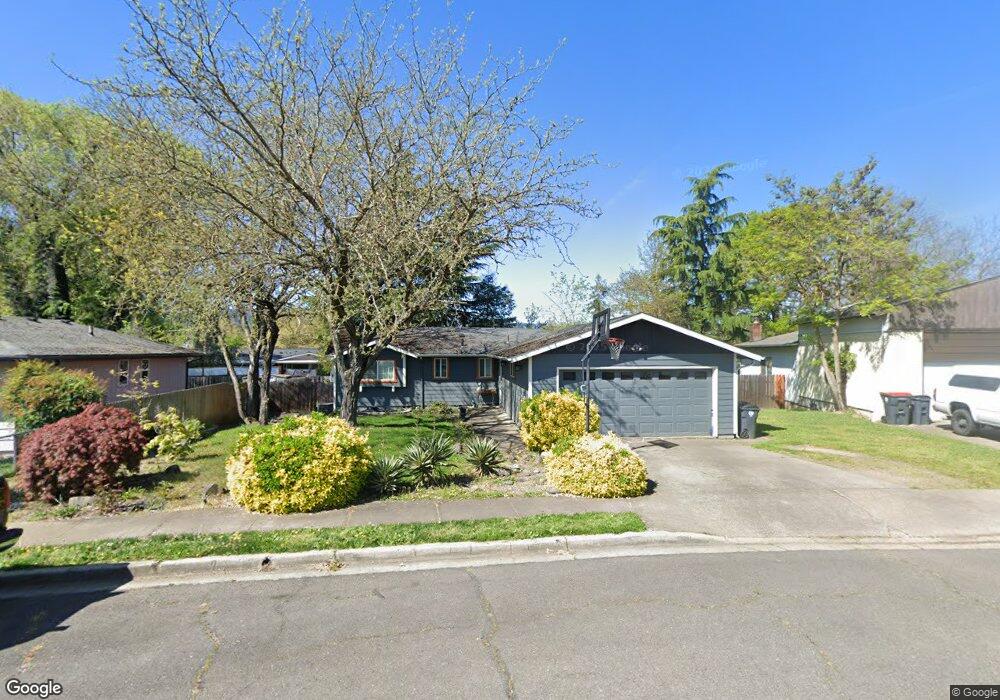
981 Crest Dr Central Point, OR 97502
Estimated Value: $330,000 - $361,000
About This Home
This home is located at 981 Crest Dr, Central Point, OR 97502 and is currently estimated at $350,169, approximately $306 per square foot. 981 Crest Dr is a home located in Jackson County with nearby schools including Jewett Elementary School, Scenic Middle School, and Crater High School.
Ownership History
We collect this data history from publicly available records. To have your information removed, we recommend requesting removal directly through your county’s website.
Purchase Details
Home Financials for this Owner
Home Financials are based on the most recent Mortgage that was taken out on this home.Purchase Details
Home Financials for this Owner
Home Financials are based on the most recent Mortgage that was taken out on this home.Purchase History
We collect this data history from publicly available records. To have your information removed, we recommend requesting removal directly through your county’s website.
| Date | Buyer | Sale Price | Title Company |
|---|---|---|---|
| $178,000 | Ticor Title Company Of Or | ||
| -- | Jackson County Title |
Mortgage History
We collect this data history from publicly available records. To have your information removed, we recommend requesting removal directly through your county’s website.
| Date | Status | Borrower | Loan Amount |
|---|---|---|---|
| Open | $174,775 | ||
| Previous Owner | $60,000 |
Tax History
We collect this data history from publicly available records. To have your information removed, we recommend requesting removal directly through your county’s website.
| Year | Tax Paid | Tax Assessment Tax Assessment Total Assessment is a certain percentage of the fair market value that is determined by local assessors to be the total taxable value of land and additions on the property. | Land | Improvement |
|---|---|---|---|---|
| 2026 | $2,733 | $165,150 | -- | -- |
| 2025 | $2,666 | $160,340 | $63,580 | $96,760 |
| 2024 | $2,666 | $155,670 | $61,730 | $93,940 |
| 2023 | $2,580 | $151,140 | $59,930 | $91,210 |
| 2022 | $2,520 | $151,140 | $59,930 | $91,210 |
| 2021 | $2,448 | $146,740 | $58,180 | $88,560 |
| 2020 | $2,377 | $142,470 | $56,490 | $85,980 |
| 2019 | $2,318 | $134,310 | $53,240 | $81,070 |
| 2018 | $2,247 | $130,400 | $51,690 | $78,710 |
| 2017 | $2,191 | $130,400 | $51,690 | $78,710 |
| 2016 | $2,127 | $122,930 | $48,720 | $74,210 |
| 2015 | $2,038 | $122,930 | $48,720 | $74,210 |
| 2014 | $1,986 | $115,880 | $45,920 | $69,960 |
Map
- 1005 N 10th St
- 619 Kings Ct
- 1130 Crest Dr
- 0 N 3rd St
- 0 Peninger Rd
- 342 Hazel St
- 212 Windsor Way
- 4626 N Pacific Hwy
- 347 N 2nd St
- 441 N 1st St
- 4093 Old Upton Rd
- 4065 Crestwood Cir
- 252 Jena Ct Unit 1
- 356 Marian Ave Unit 40
- 0 Boulder Ridge St
- 1860 Cottonwood Dr
- 430 Bridge Creek Dr
- 409 Castle Rock Dr
- 607 Palo Verde Way
- 5247 Dobrot Way
Ask me questions while you tour the home.