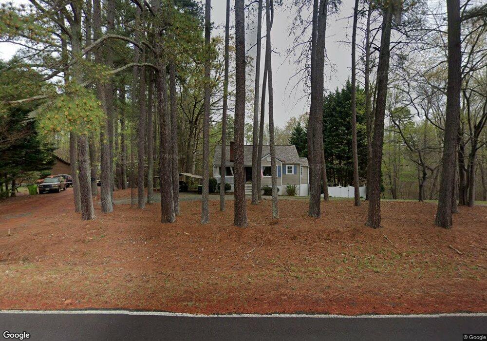
981 Dalton Rd Lewisville, NC 27023
Estimated Value: $161,000 - $235,000
4
Beds
2
Baths
1,950
Sq Ft
$102/Sq Ft
Est. Value
About This Home
This home is located at 981 Dalton Rd, Lewisville, NC 27023 and is currently estimated at $198,224, approximately $101 per square foot. 981 Dalton Rd is a home located in Forsyth County with nearby schools including Lewisville Elementary School, Meadowlark Middle School, and West Forsyth High.
Ownership History
Date
Name
Owned For
Owner Type
Purchase Details
Closed on
Mar 31, 2006
Sold by
Slater Robin S and Slater Michael A
Bought by
Vest Julie Marie
Current Estimated Value
Home Financials for this Owner
Home Financials are based on the most recent Mortgage that was taken out on this home.
Original Mortgage
$7,000
Outstanding Balance
$3,963
Interest Rate
6.2%
Mortgage Type
Stand Alone Second
Estimated Equity
$194,261
Create a Home Valuation Report for This Property
The Home Valuation Report is an in-depth analysis detailing your home's value as well as a comparison with similar homes in the area
Home Values in the Area
Average Home Value in this Area
Purchase History
| Date | Buyer | Sale Price | Title Company |
|---|---|---|---|
| Vest Julie Marie | $95,000 | None Available |
Source: Public Records
Mortgage History
| Date | Status | Borrower | Loan Amount |
|---|---|---|---|
| Open | Vest Julie Marie | $7,000 | |
| Open | Vest Julie Marie | $89,400 |
Source: Public Records
Tax History Compared to Growth
Tax History
| Year | Tax Paid | Tax Assessment Tax Assessment Total Assessment is a certain percentage of the fair market value that is determined by local assessors to be the total taxable value of land and additions on the property. | Land | Improvement |
|---|---|---|---|---|
| 2025 | $733 | $114,900 | $52,800 | $62,100 |
| 2024 | $728 | $95,000 | $33,500 | $61,500 |
| 2023 | $728 | $95,000 | $33,500 | $61,500 |
| 2022 | $728 | $95,000 | $33,500 | $61,500 |
| 2021 | $724 | $95,000 | $33,500 | $61,500 |
| 2020 | $752 | $90,500 | $30,500 | $60,000 |
| 2019 | $761 | $90,500 | $30,500 | $60,000 |
| 2018 | $730 | $90,500 | $30,500 | $60,000 |
| 2016 | $749 | $92,434 | $34,262 | $58,172 |
| 2015 | $749 | $92,434 | $34,262 | $58,172 |
| 2014 | $734 | $92,434 | $34,262 | $58,172 |
Source: Public Records
Map
Nearby Homes
- 770 Dalton Rd
- 0 Scott Rd
- 8265 Shallowford Rd
- 00 Scott Rd
- 710 Dorse Rd
- 5339 Old Us Highway 421
- 834 Montrachet Ct
- 814 Montrachet Ct
- 937 Montrachet Ct
- 4192 Emmas Way
- 9664 Lissara Camp Ct
- 9631 Lissara Camp Ct
- 4198 Emmas Way
- 4196 Emmas Way
- 9687 Lissara Camp Ct
- Roller Mill Plan at Montrachet
- Roller Mill II Plan at Montrachet
- Oak Crest Plan at Montrachet
- Heritage Bridge Plan at Montrachet
- 9349 Lissara Camp Ct
- 985 Dalton Rd
- 980 Dalton Rd
- 909 Dalton Rd
- 900 Dalton Rd
- 1010 Dalton Rd
- 889 Dalton
- 962 Dalton Rd
- 869 Dalton Rd
- 1050 Dalton Rd
- 949 Dalton Rd
- 849 Dalton Rd
- 829 & 849 Dalton
- 929 Dalton Rd
- 771 Wilson Woods Trail
- 991 Dalton Rd
- 750 Wilson Woods Trail
- 829 Dalton Rd
- 1095 Dalton Rd
- 811 Dalton Rd
- 710 Wilson Woods Trail