Estimated Value: $265,000 - $514,000
5
Beds
3
Baths
2,682
Sq Ft
$136/Sq Ft
Est. Value
About This Home
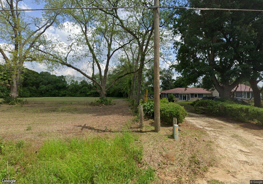
This home is located at 981 Hall Rd, Cairo, GA 39828 and is currently estimated at $364,276, approximately $135 per square foot. 981 Hall Rd is a home located in Grady County with nearby schools including Cairo High School.
Ownership History
Date
Name
Owned For
Owner Type
Purchase Details
Closed on
Dec 11, 2020
Sold by
Brivis Enterprises Llc
Bought by
Crestview Realty Llc
Current Estimated Value
Purchase Details
Closed on
Jul 13, 2018
Sold by
Brivis Enterprises Llc
Bought by
Weeks Donna
Purchase Details
Closed on
May 10, 2018
Sold by
Brivis Enterprises Llc
Bought by
Dela Cruz Perez Antonia
Purchase Details
Closed on
Mar 31, 2014
Sold by
Willis Susan E
Bought by
Brivis Enterprises Llc
Purchase Details
Closed on
Mar 27, 2014
Sold by
Bryant Susan Willis
Bought by
Brivis Enterprises Llc
Purchase Details
Closed on
Sep 6, 1991
Bought by
Willis Susan E
Create a Home Valuation Report for This Property
The Home Valuation Report is an in-depth analysis detailing your home's value as well as a comparison with similar homes in the area
Purchase History
| Date | Buyer | Sale Price | Title Company |
|---|---|---|---|
| Crestview Realty Llc | -- | -- | |
| Weeks Donna | -- | -- | |
| Dela Cruz Perez Antonia | $167,000 | -- | |
| Brivis Enterprises Llc | $130,000 | -- | |
| Brivis Enterprises Llc | $130,000 | -- | |
| Willis Susan E | $72,500 | -- |
Source: Public Records
Tax History Compared to Growth
Tax History
| Year | Tax Paid | Tax Assessment Tax Assessment Total Assessment is a certain percentage of the fair market value that is determined by local assessors to be the total taxable value of land and additions on the property. | Land | Improvement |
|---|---|---|---|---|
| 2024 | $3,364 | $110,499 | $14,358 | $96,141 |
| 2023 | $1,409 | $45,768 | $6,912 | $38,856 |
| 2022 | $1,409 | $45,768 | $6,912 | $38,856 |
| 2021 | $1,413 | $45,768 | $6,912 | $38,856 |
| 2020 | $1,418 | $45,768 | $6,912 | $38,856 |
| 2019 | $1,418 | $45,768 | $6,912 | $38,856 |
| 2017 | $1,401 | $50,579 | $11,520 | $39,059 |
| 2016 | $1,238 | $44,432 | $11,520 | $32,912 |
| 2015 | $1,223 | $44,432 | $11,520 | $32,912 |
| 2014 | $1,224 | $44,432 | $11,520 | $32,912 |
| 2013 | -- | $49,184 | $18,000 | $31,184 |
Source: Public Records
Map
Nearby Homes
- 1217 Pine Park Rd
- 140 Elderberry Ln
- 169 Rosencrantz Rd
- 1870 Oakdale Rd SE
- 592 20th St SE
- 1406 Platt Ave
- 530 6th St
- 198 Oakdale Rd SE
- 21 24th St NE
- 130 17th Ave SE
- 306 Midland Place
- 66 22nd St NE
- 78.6 Ac Strickland Rd
- 2600 U S 84
- 530 6th Ave SE
- 1193 S Broad St
- 270 Muggridge Ln
- 3109 U S 84
- 3109 U S 84
- 481 4th St SE