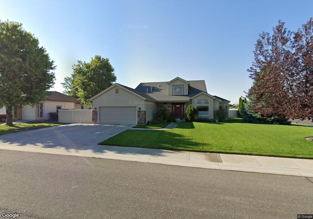
981 Misty Meadows Trail Twin Falls, ID 83301
Estimated Value: $484,000 - $533,000
4
Beds
3
Baths
2,600
Sq Ft
$196/Sq Ft
Est. Value
About This Home
This home is located at 981 Misty Meadows Trail, Twin Falls, ID 83301 and is currently estimated at $508,995, approximately $195 per square foot. 981 Misty Meadows Trail is a home located in Twin Falls County with nearby schools including Rock Creek Elementary School, Robert Stuart Junior High School, and Canyon Ridge High School.
Ownership History
Date
Name
Owned For
Owner Type
Purchase Details
Closed on
Aug 15, 2005
Sold by
Wills Inc
Bought by
Eckler Mark and Eckler Wendy
Current Estimated Value
Home Financials for this Owner
Home Financials are based on the most recent Mortgage that was taken out on this home.
Original Mortgage
$180,264
Outstanding Balance
$93,597
Interest Rate
5.48%
Mortgage Type
New Conventional
Estimated Equity
$415,398
Purchase Details
Closed on
Mar 18, 1997
Sold by
Lancaster Ttee Tom
Bought by
Lancaster Tom
Create a Home Valuation Report for This Property
The Home Valuation Report is an in-depth analysis detailing your home's value as well as a comparison with similar homes in the area
Home Values in the Area
Average Home Value in this Area
Purchase History
| Date | Buyer | Sale Price | Title Company |
|---|---|---|---|
| Eckler Mark | -- | -- | |
| Lancaster Tom | $28,000 | -- |
Source: Public Records
Mortgage History
| Date | Status | Borrower | Loan Amount |
|---|---|---|---|
| Open | Eckler Mark | $180,264 |
Source: Public Records
Tax History Compared to Growth
Tax History
| Year | Tax Paid | Tax Assessment Tax Assessment Total Assessment is a certain percentage of the fair market value that is determined by local assessors to be the total taxable value of land and additions on the property. | Land | Improvement |
|---|---|---|---|---|
| 2025 | $2,802 | $418,903 | $76,530 | $342,373 |
| 2024 | $2,776 | $418,903 | $76,530 | $342,373 |
| 2023 | $2,606 | $440,303 | $76,530 | $363,773 |
| 2022 | $3,660 | $444,648 | $72,993 | $371,655 |
| 2021 | $3,350 | $347,498 | $72,993 | $274,505 |
| 2020 | $2,826 | $285,259 | $62,480 | $222,779 |
| 2019 | $3,350 | $287,523 | $67,875 | $219,648 |
| 2018 | $3,205 | $271,157 | $42,147 | $229,010 |
| 2017 | $2,806 | $249,713 | $42,147 | $207,566 |
| 2016 | $2,381 | $213,549 | $0 | $0 |
| 2015 | $2,418 | $213,549 | $42,147 | $171,402 |
| 2012 | -- | $246,830 | $0 | $0 |
Source: Public Records
Map
Nearby Homes
- 1378 Misty Meadows Ct
- 1085 Easy Ave
- 1087 Easy Ave
- 831 Grace Dr W
- 805 Drayton Ave
- 1143 Langford Way
- 1605 Grandview Dr N
- 1139 Frank Henry Rd
- 1207 Frank Henry Rd
- 916 Kenbrook Loop
- 1295 Terra Ave
- 1228 Creekside Way
- 1196 Creekside Way
- 1295 Starlight Loop
- 1146 Creekside Way
- 1196 Ira Burton Rd Unit Lot 20 Block 12
- 1210 Ira Burton Rd Unit Lot 21 Block 12
- 1266 Crestview Dr
- 946 Kenbrook Loop
- 905 Birchton Loop
- 973 Misty Meadows Trail
- 1003 Misty Meadows Trail
- 982 Misty Meadows Trail
- 965 Misty Meadows Trail
- 965 N College Rd W
- 953 N College Rd W
- 944 Misty Meadows Trail
- 947 N College Rd W
- 947 W North College Rd
- 991 N College Rd W
- 1325 Silver Creek Way
- 1325 Silver Creek
- 1336 Silver Creek Way
- 1011 Misty Meadows Trail
- 931 N College Rd W
- 957 Misty Meadows Trail
- 1005 N College Rd W
- 980 Starlight Loop
- 974 Starlight Loop
- 1337 Silver Creek Way