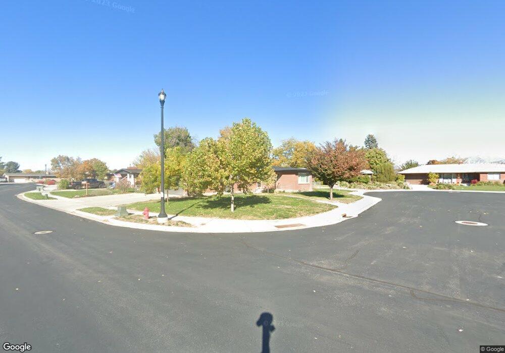
981 Mt Loafer Cir Spanish Fork, UT 84660
Estimated Value: $508,000 - $563,000
5
Beds
3
Baths
3,012
Sq Ft
$178/Sq Ft
Est. Value
About This Home
This home is located at 981 Mt Loafer Cir, Spanish Fork, UT 84660 and is currently estimated at $534,841, approximately $177 per square foot. 981 Mt Loafer Cir is a home located in Utah County with nearby schools including Larsen Elementary School, Spanish Fork Jr High School, and Diamond Fork Junior High School.
Ownership History
Date
Name
Owned For
Owner Type
Purchase Details
Closed on
Jul 8, 2021
Sold by
Nelson Melanie and Nelson Kaulin D
Bought by
Nelson Melanie and Nelson Kaulin
Current Estimated Value
Home Financials for this Owner
Home Financials are based on the most recent Mortgage that was taken out on this home.
Original Mortgage
$349,000
Outstanding Balance
$316,663
Interest Rate
2.9%
Mortgage Type
New Conventional
Estimated Equity
$218,178
Purchase Details
Closed on
Jul 2, 2020
Sold by
Baker Brennon
Bought by
Nelson Melanie and Nelson Kaulin D
Home Financials for this Owner
Home Financials are based on the most recent Mortgage that was taken out on this home.
Original Mortgage
$344,700
Interest Rate
3.1%
Mortgage Type
New Conventional
Purchase Details
Closed on
May 27, 2015
Sold by
Federal National Mortgage Association
Bought by
Baker Brennon
Home Financials for this Owner
Home Financials are based on the most recent Mortgage that was taken out on this home.
Original Mortgage
$198,242
Interest Rate
3.25%
Mortgage Type
FHA
Purchase Details
Closed on
Oct 10, 2014
Sold by
Cherpeski Angela M and Cherpeski Michael C
Bought by
Federal National Mortgage Association
Purchase Details
Closed on
Oct 31, 2005
Sold by
Cherpeski Michael C and Cherpeski Angela M
Bought by
Cherpeski Michael and Cherpeski Angela
Home Financials for this Owner
Home Financials are based on the most recent Mortgage that was taken out on this home.
Original Mortgage
$37,000
Interest Rate
5.74%
Mortgage Type
New Conventional
Purchase Details
Closed on
Jul 20, 2004
Sold by
Cherpeski Michael
Bought by
Cherpeski Michael C and Cherpeski Angela M
Home Financials for this Owner
Home Financials are based on the most recent Mortgage that was taken out on this home.
Original Mortgage
$140,000
Interest Rate
6.27%
Mortgage Type
New Conventional
Purchase Details
Closed on
Apr 18, 2002
Sold by
Cherpeski Angela
Bought by
Cherpeski Michael
Create a Home Valuation Report for This Property
The Home Valuation Report is an in-depth analysis detailing your home's value as well as a comparison with similar homes in the area
Home Values in the Area
Average Home Value in this Area
Purchase History
| Date | Buyer | Sale Price | Title Company |
|---|---|---|---|
| Nelson Melanie | -- | Key Land Title | |
| Nelson Melanie | -- | Union Title | |
| Baker Brennon | -- | Etitle Insurance Agency | |
| Federal National Mortgage Association | -- | Etitle Insurance Agency | |
| Cherpeski Michael | -- | Inwest Title Services Inc | |
| Cherpeski Michael C | -- | Inwest Title Services Inc | |
| Cherpeski Michael | -- | Title West Title Co | |
| Cherpeski Michael | -- | Title West Title Co |
Source: Public Records
Mortgage History
| Date | Status | Borrower | Loan Amount |
|---|---|---|---|
| Open | Nelson Melanie | $349,000 | |
| Closed | Nelson Melanie | $344,700 | |
| Previous Owner | Baker Brennon | $198,242 | |
| Previous Owner | Cherpeski Michael | $37,000 | |
| Previous Owner | Cherpeski Michael C | $140,000 | |
| Closed | Cherpeski Michael C | $17,500 |
Source: Public Records
Tax History Compared to Growth
Tax History
| Year | Tax Paid | Tax Assessment Tax Assessment Total Assessment is a certain percentage of the fair market value that is determined by local assessors to be the total taxable value of land and additions on the property. | Land | Improvement |
|---|---|---|---|---|
| 2025 | $2,497 | $286,605 | $169,800 | $351,300 |
| 2024 | $2,497 | $257,400 | $0 | $0 |
| 2023 | $2,537 | $261,745 | $0 | $0 |
| 2022 | $2,449 | $247,885 | $0 | $0 |
| 2021 | $2,123 | $343,700 | $101,300 | $242,400 |
| 2020 | $1,659 | $261,100 | $92,100 | $169,000 |
| 2019 | $1,398 | $231,500 | $77,400 | $154,100 |
| 2018 | $1,274 | $204,000 | $70,000 | $134,000 |
| 2017 | $1,210 | $104,115 | $0 | $0 |
| 2016 | $1,154 | $98,010 | $0 | $0 |
| 2015 | $1,063 | $89,210 | $0 | $0 |
| 2014 | $1,060 | $89,210 | $0 | $0 |
Source: Public Records
Map
Nearby Homes
- 2998 Canyon Dr Unit 333
- 3014 Canyon Dr Unit 332
- 333 S 800 E
- 610 Birch Dr
- 1222 E 500 S
- 291 S 700 E
- 1102 E 120 S
- 665 S 1040 E
- 896 E 740 S
- 886 E 780 S
- Aaron Plan at River Point
- Addison Plan at River Point
- Emmet Plan at River Point
- 228 E 800 S Unit 131
- 66 Southgate Loop
- 3687 E 1270 S
- 1009 S 200 E
- 789 S 1300 E
- 762 S 1360 E
- 762 S 1360 E Unit 25
- 981 Canyon Dr
- 963 Canyon Dr
- 963 Canyon Dr
- 989 Mount Loafer Cir
- 939 Canyon Dr
- 1005 Canyon Dr
- 1001 Mount Loafer Cir
- 1003 Canyon Dr
- 980 Canyon Dr
- 962 Canyon Dr
- 1003 Mount Loafer Cir
- 1010 Canyon Dr
- 942 Canyon Dr
- 915 Canyon Dr
- 347 S 900 E
- 1035 Canyon Dr
- 950 E Flonette Ave
- 962 E Flonette Ave
- 914 Canyon Dr
- 914 E Canyon Rd