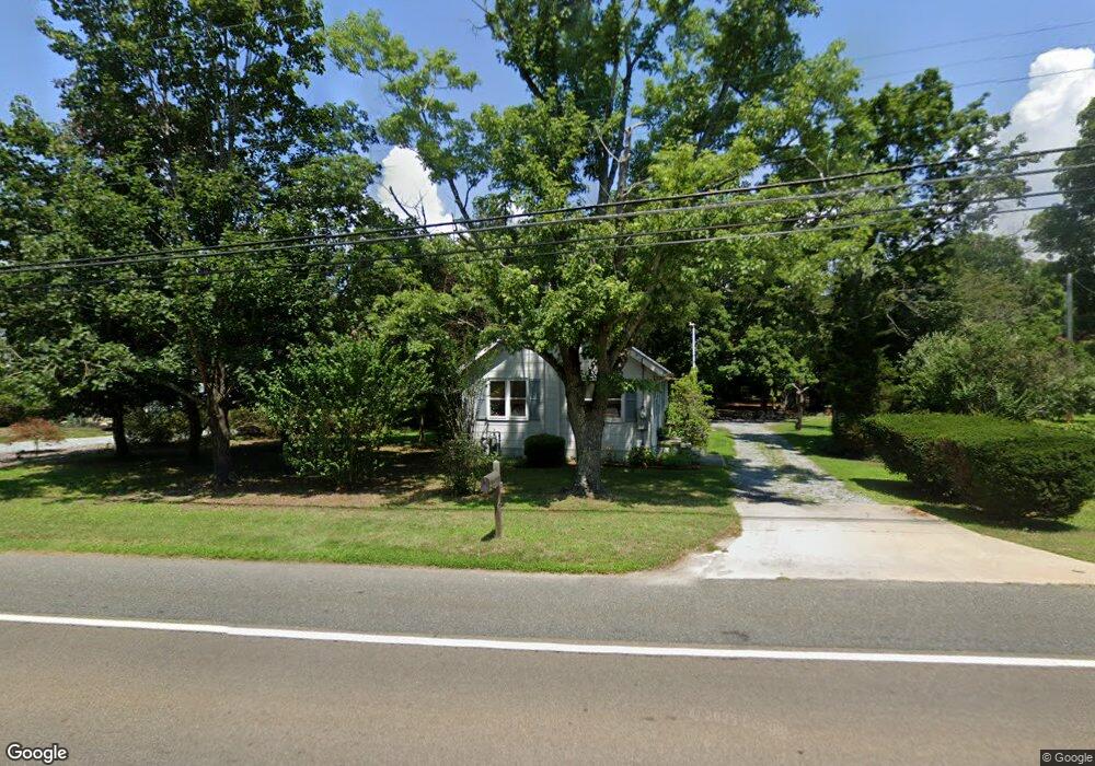
981 Route 50 Woodbine, NJ 08270
Estimated Value: $229,748 - $400,000
--
Bed
--
Bath
1,088
Sq Ft
$272/Sq Ft
Est. Value
About This Home
This home is located at 981 Route 50, Woodbine, NJ 08270 and is currently estimated at $295,937, approximately $272 per square foot. 981 Route 50 is a home located in Cape May County with nearby schools including Upper Township Primary School, Upper Township Elementary School, and Upper Township Middle School.
Ownership History
Date
Name
Owned For
Owner Type
Purchase Details
Closed on
Jul 28, 1997
Sold by
Miklovis John S
Bought by
Creamer Leon and Creamer Mayann
Current Estimated Value
Home Financials for this Owner
Home Financials are based on the most recent Mortgage that was taken out on this home.
Original Mortgage
$84,000
Outstanding Balance
$12,602
Interest Rate
7.55%
Mortgage Type
FHA
Estimated Equity
$283,335
Purchase Details
Closed on
Dec 18, 1989
Sold by
Eshleman Dorothy
Bought by
Miklovis John
Create a Home Valuation Report for This Property
The Home Valuation Report is an in-depth analysis detailing your home's value as well as a comparison with similar homes in the area
Home Values in the Area
Average Home Value in this Area
Purchase History
| Date | Buyer | Sale Price | Title Company |
|---|---|---|---|
| Creamer Leon | $83,900 | -- | |
| Miklovis John | $88,000 | -- |
Source: Public Records
Mortgage History
| Date | Status | Borrower | Loan Amount |
|---|---|---|---|
| Open | Creamer Leon | $84,000 |
Source: Public Records
Tax History Compared to Growth
Tax History
| Year | Tax Paid | Tax Assessment Tax Assessment Total Assessment is a certain percentage of the fair market value that is determined by local assessors to be the total taxable value of land and additions on the property. | Land | Improvement |
|---|---|---|---|---|
| 2025 | $3,716 | $157,800 | $86,700 | $71,100 |
| 2024 | $3,716 | $157,800 | $86,700 | $71,100 |
| 2023 | $3,539 | $157,800 | $86,700 | $71,100 |
| 2022 | $3,431 | $157,800 | $86,700 | $71,100 |
| 2021 | $2,260 | $157,800 | $86,700 | $71,100 |
| 2020 | $3,192 | $157,800 | $86,700 | $71,100 |
| 2019 | $3,120 | $157,800 | $86,700 | $71,100 |
| 2018 | $3,041 | $157,800 | $86,700 | $71,100 |
| 2017 | $3,003 | $157,800 | $86,700 | $71,100 |
| 2016 | $2,951 | $152,600 | $86,700 | $65,900 |
| 2015 | $2,864 | $152,600 | $86,700 | $65,900 |
| 2014 | $2,607 | $170,700 | $103,400 | $67,300 |
Source: Public Records
Map
Nearby Homes
- 781 Route 50
- 240 Dennisville-Petersburg Rd
- 3 Farm Rd
- 1981 Tuckahoe Rd
- 1520 Route 50
- 9 Deerfield Trail
- 17 Deerfield Trail
- 78 Tyler Rd
- 50 School House Ln
- 10 New Jersey 50
- 27 Cedar Ave
- 127 Route 50
- 115 Rte 50
- 11 Laurel Ridge Rd
- 13 Mooring Cir
- 86 Route 50
- 1431 Stagecoach Rd
- 81 Flounder
- 49 Hope Corson Rd
- 124 Butter Rd
- 1001 Route 50
- 971 Route 50
- 1021 Route 50
- 960 Upper Bridge Rd
- 1000 Old Tuckahoe Rd
- 961 Route 50
- 960 Route 50
- 990 Route 50
- 951 Upper Bridge Rd
- 951 Route 50
- 1041 Route 50
- 940 Route 50
- 940 New Jersey 50
- 951 New Jersey 50
- 941 Upper Bridge Rd
- 1061 Route 50
- 921 Upper Bridge Rd
- 1010 Route 50
- 20 Perry Rd
- 909 Upper Bridge Rd