981 State Route 33 Freehold, NJ 07728
East Howell NeighborhoodEstimated Value: $527,000 - $815,000
3
Beds
2
Baths
1,938
Sq Ft
$335/Sq Ft
Est. Value
About This Home
This home is located at 981 State Route 33, Freehold, NJ 07728 and is currently estimated at $649,014, approximately $334 per square foot. 981 State Route 33 is a home located in Monmouth County with nearby schools including Adelphia Elementary School, Ardena School, and Howell Middle School North.
Ownership History
Date
Name
Owned For
Owner Type
Purchase Details
Closed on
Jul 3, 2001
Sold by
Pavlisko Susan
Bought by
Mount Stephen and Mount Christine
Current Estimated Value
Home Financials for this Owner
Home Financials are based on the most recent Mortgage that was taken out on this home.
Original Mortgage
$135,000
Outstanding Balance
$52,177
Interest Rate
7.18%
Mortgage Type
Purchase Money Mortgage
Estimated Equity
$596,837
Create a Home Valuation Report for This Property
The Home Valuation Report is an in-depth analysis detailing your home's value as well as a comparison with similar homes in the area
Home Values in the Area
Average Home Value in this Area
Purchase History
| Date | Buyer | Sale Price | Title Company |
|---|---|---|---|
| Mount Stephen | $179,900 | -- |
Source: Public Records
Mortgage History
| Date | Status | Borrower | Loan Amount |
|---|---|---|---|
| Open | Mount Stephen | $135,000 |
Source: Public Records
Tax History Compared to Growth
Tax History
| Year | Tax Paid | Tax Assessment Tax Assessment Total Assessment is a certain percentage of the fair market value that is determined by local assessors to be the total taxable value of land and additions on the property. | Land | Improvement |
|---|---|---|---|---|
| 2025 | $6,896 | $408,800 | $145,300 | $263,500 |
| 2024 | $7,113 | $394,300 | $145,300 | $249,000 |
| 2023 | $7,113 | $388,500 | $145,300 | $243,200 |
| 2022 | $7,923 | $376,800 | $145,300 | $231,500 |
| 2021 | $7,923 | $351,200 | $145,300 | $205,900 |
| 2020 | $7,962 | $348,900 | $145,300 | $203,600 |
| 2019 | $7,295 | $313,100 | $145,300 | $167,800 |
| 2018 | $7,153 | $305,300 | $145,300 | $160,000 |
| 2017 | $7,116 | $300,500 | $145,300 | $155,200 |
| 2016 | $6,999 | $291,500 | $140,200 | $151,300 |
| 2015 | $6,980 | $287,600 | $140,200 | $147,400 |
| 2014 | $7,062 | $268,100 | $140,200 | $127,900 |
Source: Public Records
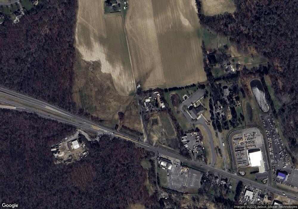
Map
Nearby Homes
- 8 Mackenzie Ct
- 70 Desai Ct
- 211 Bennett Rd
- 382 Buckalew Rd
- 171 Windswept Ln
- 555 Brickyard Rd
- 172 Bennett Rd
- 40 Yellowbrook Rd
- 72 Vanderveer Rd
- 375 Peter Forman Dr
- 98 Merrick Rd
- 3 W Rossini Ct
- 17 Ivy Ridge Close Unit 622
- 138 Howell Rd
- 6 Tower Ct
- 208 Ambiance Blvd
- 55 Farnworth Close Unit 1000
- 39 Primrose Ln
- 5 Jaffreyton Close
- 157 Setter Place
- 985 New Jersey 33
- 989 State Route 33
- 997 State Route 33
- 995 State Route 33
- 992 State Route 33
- 994 State Route 33
- 994 New Jersey 33
- 982 State Route 33
- 996 State Route 33
- 1006 New Jersey 33
- 5 Katie Ct
- 9 Katie Ct
- 387 Brickyard Rd
- 3 Katie Ct
- 359 Brickyard Rd
- 11 Katie Ct
- 1 Katie Ct
- 25 Ginesi Dr
- 26 Ginesi Dr
- 386 Brickyard Rd