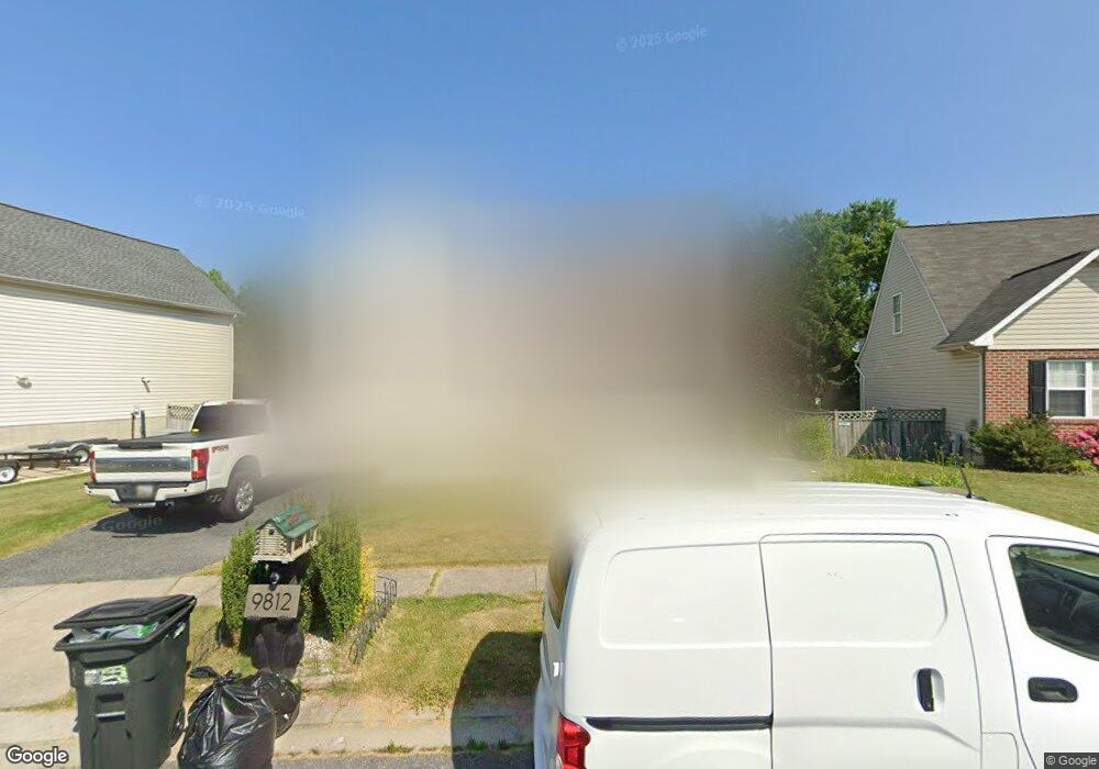
9814 Dee Way Middle River, MD 21220
Estimated Value: $383,000 - $564,000
3
Beds
3
Baths
2,620
Sq Ft
$166/Sq Ft
Est. Value
About This Home
This home is located at 9814 Dee Way, Middle River, MD 21220 and is currently estimated at $434,408, approximately $165 per square foot. 9814 Dee Way is a home located in Baltimore County with nearby schools including Vincent Farm Elementary, Middle River Middle School, and Kenwood High.
Ownership History
Date
Name
Owned For
Owner Type
Purchase Details
Closed on
Nov 8, 2006
Sold by
Tontrup Craig B
Bought by
Chicas Victor M Amador
Current Estimated Value
Purchase Details
Closed on
Nov 1, 2006
Sold by
Tontrup Craig B
Bought by
Chicas Victor M Amador
Purchase Details
Closed on
Oct 7, 2005
Sold by
Stoyle Scott J
Bought by
Tontrup Craig B
Purchase Details
Closed on
Jun 26, 2003
Sold by
Stoyle Scott J
Bought by
Stoyle Scott J
Purchase Details
Closed on
Sep 25, 2001
Sold by
Wampler Woods Development
Bought by
Stoyle Scott J and Stoyle Dara L
Create a Home Valuation Report for This Property
The Home Valuation Report is an in-depth analysis detailing your home's value as well as a comparison with similar homes in the area
Home Values in the Area
Average Home Value in this Area
Purchase History
| Date | Buyer | Sale Price | Title Company |
|---|---|---|---|
| Chicas Victor M Amador | $299,900 | -- | |
| Chicas Victor M Amador | $299,900 | -- | |
| Tontrup Craig B | $285,000 | -- | |
| Stoyle Scott J | -- | -- | |
| Stoyle Scott J | $168,440 | -- |
Source: Public Records
Tax History
| Year | Tax Paid | Tax Assessment Tax Assessment Total Assessment is a certain percentage of the fair market value that is determined by local assessors to be the total taxable value of land and additions on the property. | Land | Improvement |
|---|---|---|---|---|
| 2025 | $4,925 | $299,100 | -- | -- |
| 2024 | $4,925 | $280,200 | -- | -- |
| 2023 | $2,317 | $261,300 | $101,500 | $159,800 |
| 2022 | $4,415 | $250,867 | $0 | $0 |
| 2021 | $3,682 | $240,433 | $0 | $0 |
| 2020 | $3,682 | $230,000 | $101,500 | $128,500 |
| 2019 | $3,482 | $230,000 | $101,500 | $128,500 |
| 2018 | $3,382 | $230,000 | $101,500 | $128,500 |
| 2017 | $3,285 | $232,300 | $0 | $0 |
| 2016 | $4,418 | $232,300 | $0 | $0 |
| 2015 | $4,418 | $232,300 | $0 | $0 |
| 2014 | $4,418 | $234,500 | $0 | $0 |
Source: Public Records
Map
Nearby Homes
- 0 Bird River Rd Unit MDBC2136640
- 0 Wampler Rd Unit MDBC2153670
- 0 Wampler Rd Unit MDBC2107084
- 10002 Campbell Blvd
- 9755 Matzon Rd
- 1113 Muddy Branch Ct
- 1116 Muddy Branch Ct
- 1118 Muddy Branch Ct
- 1114 Muddy Branch Ct
- 1108 Muddy Branch Ct
- 917 Gladway Rd
- 9707 Selfridge Rd
- 0 Stokers Ln
- 1201 Otter Point Ct
- 1202 Otter Point Ct
- 9663 Davison Rd
- 10114 Blansford Way
- 1145 Bengies Rd
- 1315 Sleepy Hollow Ln
- 1211 Reames Rd
Your Personal Tour Guide
Ask me questions while you tour the home.