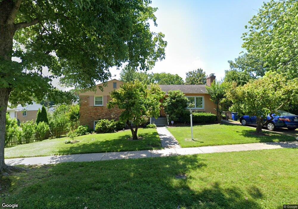
9814 Singleton Dr Bethesda, MD 20817
Wyngate NeighborhoodEstimated Value: $968,000 - $1,014,000
Studio
3
Baths
1,496
Sq Ft
$665/Sq Ft
Est. Value
About This Home
This home is located at 9814 Singleton Dr, Bethesda, MD 20817 and is currently estimated at $994,532, approximately $664 per square foot. 9814 Singleton Dr is a home located in Montgomery County with nearby schools including Wyngate Elementary School, North Bethesda Middle School, and Walter Johnson High School.
Ownership History
Date
Name
Owned For
Owner Type
Purchase Details
Closed on
Apr 26, 2021
Sold by
Krishnaswamy Ramaswamy and Ramaswamy Nirmala
Bought by
Krishnaswamy Ramaswamy and Ramaswamy Nirmala
Current Estimated Value
Purchase Details
Closed on
Apr 17, 2000
Sold by
Ratliff Perry M and Ratliff G
Bought by
Krishnaswamy R
Purchase Details
Closed on
Aug 11, 1994
Sold by
Chacos Louis G
Bought by
Ratliff Perry M
Create a Home Valuation Report for This Property
The Home Valuation Report is an in-depth analysis detailing your home's value as well as a comparison with similar homes in the area
Home Values in the Area
Average Home Value in this Area
Purchase History
| Date | Buyer | Sale Price | Title Company |
|---|---|---|---|
| Krishnaswamy Ramaswamy | -- | None Available | |
| Krishnaswamy R | $350,000 | -- | |
| Ratliff Perry M | $280,000 | -- |
Source: Public Records
Mortgage History
| Date | Status | Borrower | Loan Amount |
|---|---|---|---|
| Closed | Ratliff Perry M | -- |
Source: Public Records
Tax History
| Year | Tax Paid | Tax Assessment Tax Assessment Total Assessment is a certain percentage of the fair market value that is determined by local assessors to be the total taxable value of land and additions on the property. | Land | Improvement |
|---|---|---|---|---|
| 2025 | $10,277 | $850,833 | -- | -- |
| 2024 | $10,277 | $829,200 | $539,900 | $289,300 |
| 2023 | $9,109 | $789,633 | $0 | $0 |
| 2022 | $8,238 | $750,067 | $0 | $0 |
| 2021 | $3,867 | $710,500 | $514,200 | $196,300 |
| 2020 | $7,350 | $678,733 | $0 | $0 |
| 2019 | $6,963 | $646,967 | $0 | $0 |
| 2018 | $6,593 | $615,200 | $489,700 | $125,500 |
| 2017 | $7,344 | $610,433 | $0 | $0 |
| 2016 | $5,701 | $605,667 | $0 | $0 |
| 2015 | $5,701 | $600,900 | $0 | $0 |
| 2014 | $5,701 | $585,767 | $0 | $0 |
Source: Public Records
Map
Nearby Homes
- 6216 Rockhurst Rd
- 9715 Singleton Dr
- 9831 Singleton Dr
- 6226 Stoneham Ct
- 6308 Rockhurst Rd
- 6311 Carnegie Dr
- 9403 Ewing Dr
- 9504 Hollins Ct
- 9309 Lindale Dr
- 5901 Kingswood Rd
- 6417 Camrose Terrace
- 5812 Lone Oak Dr
- 9216 Shelton St
- 9901 Fernwood Rd
- 9914 Fernwood Rd
- 6514 Winnepeg Rd
- 5805 Conway Rd
- 9909 Dickens Ave
- 5430 Whitley Park Terrace
- 9309 Old Georgetown Rd
- 6200 Hollins Dr
- 9612 Wadsworth Dr
- 9608 Wadsworth Dr
- 6204 Hollins Dr
- 9606 Wadsworth Dr
- 9815 Singleton Dr
- 9817 Singleton Dr
- 6206 Hollins Dr
- 9604 Wadsworth Dr
- 9819 Singleton Dr
- 6201 Hollins Dr
- 9613 Wadsworth Dr
- 9811 Singleton Dr
- 6203 Hollins Dr
- 9602 Wadsworth Dr
- 6208 Hollins Dr
- 9611 Wadsworth Dr
- 6205 Hollins Dr
- 9809 Singleton Dr
- 9609 Wadsworth Dr
Your Personal Tour Guide
Ask me questions while you tour the home.