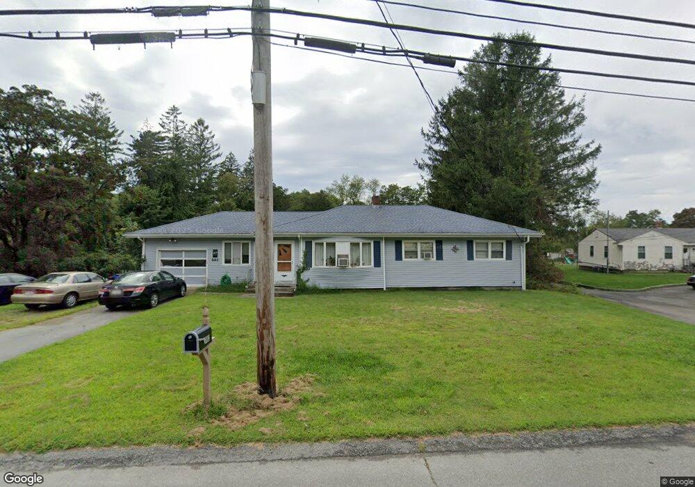
982 Blossom Rd Westport, MA 02790
Estimated Value: $567,133 - $603,000
3
Beds
2
Baths
1,919
Sq Ft
$307/Sq Ft
Est. Value
About This Home
This home is located at 982 Blossom Rd, Westport, MA 02790 and is currently estimated at $588,783, approximately $306 per square foot. 982 Blossom Rd is a home with nearby schools including North End Elementary School, Talbot Innovation School, and B M C Durfee High School.
Ownership History
Date
Name
Owned For
Owner Type
Purchase Details
Closed on
Mar 25, 2019
Sold by
Dumas Susan and Mccarthy Debra
Bought by
Dumas Susan M and Dumas Kevyn P
Current Estimated Value
Home Financials for this Owner
Home Financials are based on the most recent Mortgage that was taken out on this home.
Original Mortgage
$147,000
Outstanding Balance
$128,709
Interest Rate
4.3%
Mortgage Type
New Conventional
Estimated Equity
$460,074
Create a Home Valuation Report for This Property
The Home Valuation Report is an in-depth analysis detailing your home's value as well as a comparison with similar homes in the area
Home Values in the Area
Average Home Value in this Area
Purchase History
| Date | Buyer | Sale Price | Title Company |
|---|---|---|---|
| Dumas Susan M | $133,000 | -- | |
| Dumas Susan M | $133,000 | -- |
Source: Public Records
Mortgage History
| Date | Status | Borrower | Loan Amount |
|---|---|---|---|
| Open | Dumas Susan M | $147,000 | |
| Closed | Dumas Susan M | $147,000 |
Source: Public Records
Tax History Compared to Growth
Tax History
| Year | Tax Paid | Tax Assessment Tax Assessment Total Assessment is a certain percentage of the fair market value that is determined by local assessors to be the total taxable value of land and additions on the property. | Land | Improvement |
|---|---|---|---|---|
| 2025 | $4,803 | $419,500 | $178,200 | $241,300 |
| 2024 | $4,524 | $393,700 | $171,400 | $222,300 |
| 2023 | $4,353 | $354,800 | $148,200 | $206,600 |
| 2022 | $3,898 | $308,900 | $138,600 | $170,300 |
| 2021 | $3,889 | $281,200 | $139,000 | $142,200 |
| 2020 | $3,864 | $267,400 | $139,300 | $128,100 |
| 2019 | $3,819 | $261,900 | $141,500 | $120,400 |
| 2018 | $3,656 | $250,100 | $141,500 | $108,600 |
| 2017 | $3,314 | $236,700 | $129,800 | $106,900 |
| 2016 | $3,162 | $232,000 | $129,800 | $102,200 |
| 2015 | $3,035 | $232,000 | $129,800 | $102,200 |
| 2014 | $2,808 | $223,200 | $121,000 | $102,200 |
Source: Public Records
Map
Nearby Homes
- 128 Old Bedford Rd
- 3 Diane Way
- 125 Angell St
- 85 Reney St
- 89 Lafayette St
- 34 Alsop St
- 219 Earle St Unit 3
- 217 Earle St Unit 2
- 215 Earle St Unit 1
- 172 Earle St
- 33 William St
- 6 Beaulieu St
- 25 Beaulieu St
- 44 Fenmore St
- 0 Rich St
- 37 Eaton St
- 168 Windsor St
- 1796 Locust St
- 1792 Pleasant St Unit 1808
- 10 Choate St
- 1000 Blossom Rd
- 995 Blossom Rd
- 1025 Blossom Rd
- 937 Blossom Rd
- 932 Blossom Rd
- 1053 Blossom Rd
- 921 Blossom Rd
- 222 Blossom Rd
- 219 Blossom Rd
- 1105 Blossom Rd
- 210 Blossom Rd
- 1 Nancy Ln
- 1135 Blossom Rd
- 983 Blossom Rd
- 204 Blossom Rd
- 205 Blossom Rd
- 200 Blossom Rd
- 1205 Blossom Rd
- 195 Blossom Rd
- 193 Blossom Hill Dr