982 High St Block Island, RI 02807
Estimated Value: $1,100,414 - $1,311,000
3
Beds
2
Baths
1,000
Sq Ft
$1,239/Sq Ft
Est. Value
About This Home
This home is located at 982 High St, Block Island, RI 02807 and is currently estimated at $1,239,354, approximately $1,239 per square foot. 982 High St is a home with nearby schools including Block Island School.
Ownership History
Date
Name
Owned For
Owner Type
Purchase Details
Closed on
May 25, 2023
Sold by
Mcmullen John F and Mcmullen Maureen
Bought by
Mcmullen Ft and Mcmullen
Current Estimated Value
Purchase Details
Closed on
Aug 20, 2015
Sold by
Mcmullen James A and Mullen Jane M
Bought by
Prendergast Heahter A
Create a Home Valuation Report for This Property
The Home Valuation Report is an in-depth analysis detailing your home's value as well as a comparison with similar homes in the area
Home Values in the Area
Average Home Value in this Area
Purchase History
| Date | Buyer | Sale Price | Title Company |
|---|---|---|---|
| Mcmullen Ft | -- | None Available | |
| Prendergast Heahter A | -- | -- |
Source: Public Records
Tax History Compared to Growth
Tax History
| Year | Tax Paid | Tax Assessment Tax Assessment Total Assessment is a certain percentage of the fair market value that is determined by local assessors to be the total taxable value of land and additions on the property. | Land | Improvement |
|---|---|---|---|---|
| 2024 | $3,295 | $596,900 | $290,800 | $306,100 |
| 2023 | $3,593 | $596,900 | $290,800 | $306,100 |
| 2022 | $2,561 | $361,680 | $258,400 | $103,280 |
| 2021 | $2,423 | $361,680 | $258,400 | $103,280 |
| 2020 | $2,300 | $361,680 | $258,400 | $103,280 |
| 2019 | $2,228 | $361,680 | $258,400 | $103,280 |
| 2018 | $2,262 | $380,240 | $250,320 | $129,920 |
| 2017 | $2,228 | $380,240 | $250,320 | $129,920 |
| 2016 | $2,175 | $380,240 | $250,320 | $129,920 |
| 2015 | $2,657 | $482,300 | $312,900 | $169,400 |
| 2014 | $2,575 | $482,300 | $312,900 | $169,400 |
| 2013 | $2,513 | $482,300 | $312,900 | $169,400 |
Source: Public Records
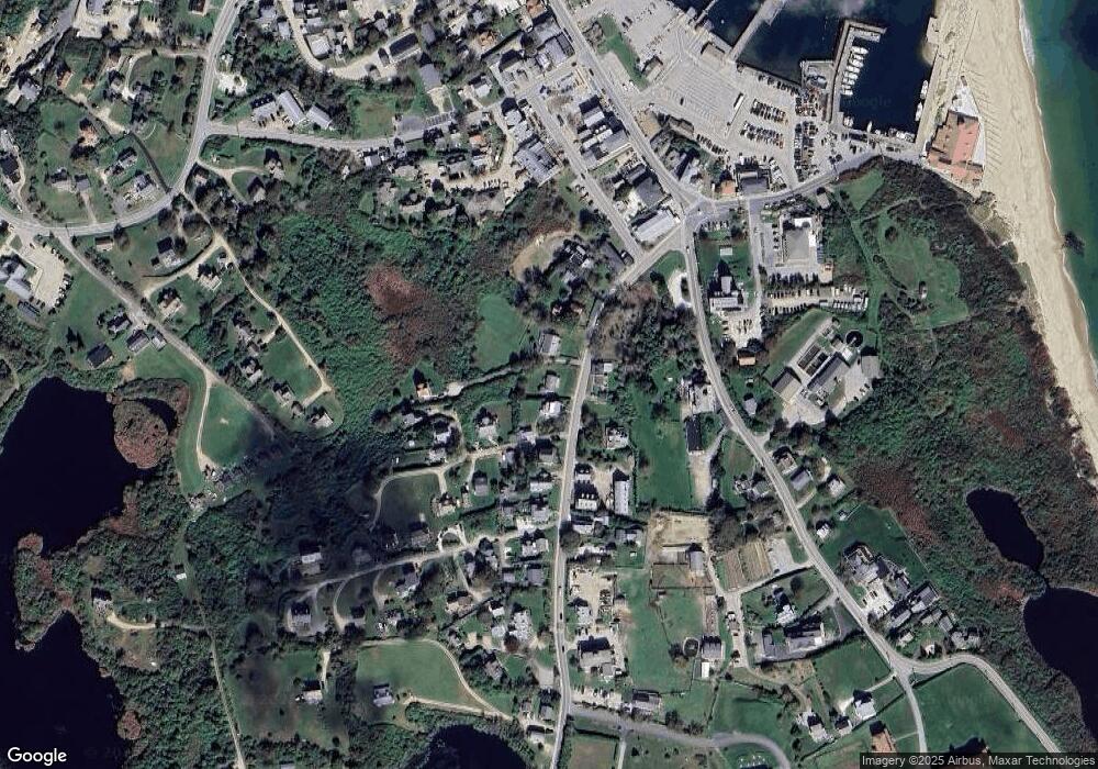
Map
Nearby Homes
- 256 High St
- 1289 High St
- 481 Old Town Rd
- 194 Pilot Hill Rd
- 0 Southeast Rd Unit 1381406
- 0 Spring St
- 0 Pilot Hill Rd
- 1087 Lakeside Dr
- 1661 Sand Pond Rd
- 804 Mohegan Trail
- 1501 Beacon Hill Rd
- 0 Mohegan Trail
- 1448 Mohegan Trail
- 1035 Mohegan Trail
- 1743 Corn Neck Rd
- 0 Snake Hole Rd
- 1720 Corn Neck Rd
- 1713 Corn Neck Rd
- 0 Coast Guard Rd
- 1557 W Side Rd
- 337 High St
- 339 High St
- 202 High St
- 336 High St
- 347 High St
- 346 High St
- 2 High St Unit 2 A
- 334 High St
- 334 - 336 High St
- 1114 High St
- 341 High St
- 27 High St Unit 3
- 27 High St Unit 3B
- 27 High St Unit 4
- 27 High St Unit 4
- 27 High St Unit 4
- 338 High St
- 342 High St
- 0 Off High St Unit 1099971
- 0 Off High St Unit 1132190