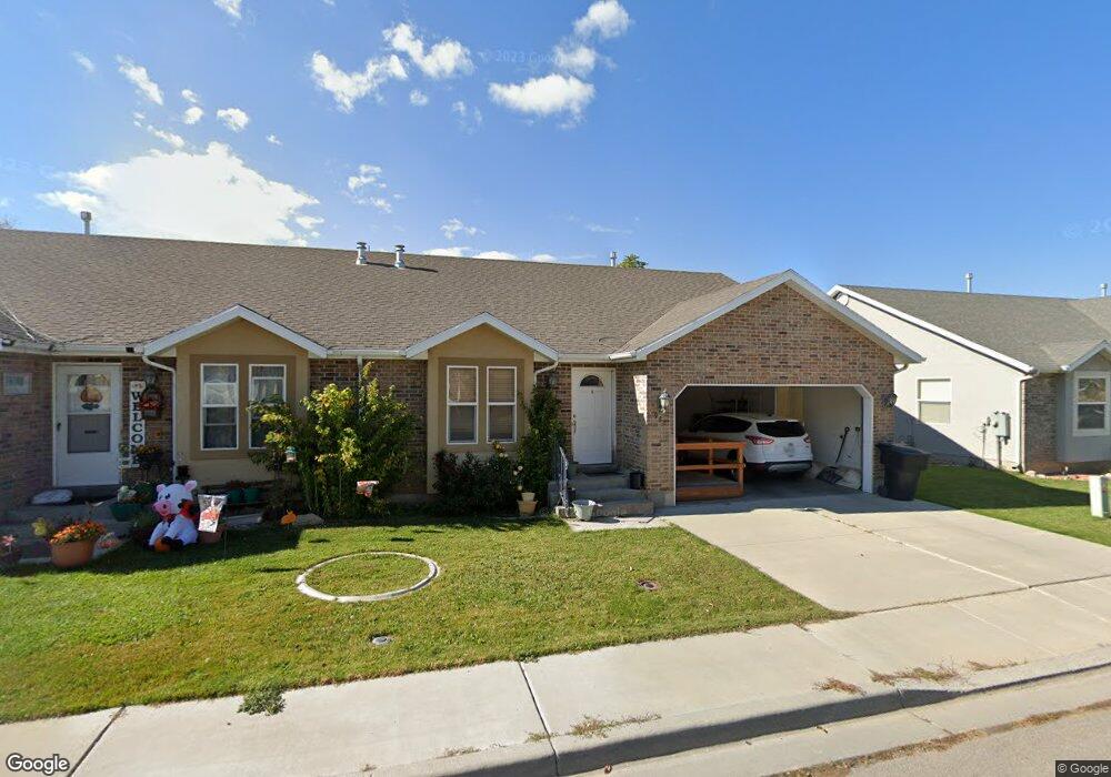
982 S 630 W Unit 20 Payson, UT 84651
Estimated Value: $385,000 - $490,000
3
Beds
1
Bath
1,221
Sq Ft
$348/Sq Ft
Est. Value
About This Home
This home is located at 982 S 630 W Unit 20, Payson, UT 84651 and is currently estimated at $425,107, approximately $348 per square foot. 982 S 630 W Unit 20 is a home located in Utah County with nearby schools including Wilson Elementary School, Payson Junior High School, and Mt. Nebo Junior High School.
Ownership History
Date
Name
Owned For
Owner Type
Purchase Details
Closed on
Jun 22, 2011
Sold by
Scott Edward R
Bought by
Al Jamal Margaret
Current Estimated Value
Home Financials for this Owner
Home Financials are based on the most recent Mortgage that was taken out on this home.
Original Mortgage
$147,143
Outstanding Balance
$101,103
Interest Rate
4.56%
Mortgage Type
New Conventional
Estimated Equity
$324,004
Purchase Details
Closed on
Dec 22, 2003
Sold by
Better Builders Inc
Bought by
Scott Lucile P and Scott Edward R
Purchase Details
Closed on
Dec 11, 2002
Sold by
Wells Fargo Bank Northwest Na
Bought by
Goodrich Stan
Create a Home Valuation Report for This Property
The Home Valuation Report is an in-depth analysis detailing your home's value as well as a comparison with similar homes in the area
Home Values in the Area
Average Home Value in this Area
Purchase History
| Date | Buyer | Sale Price | Title Company |
|---|---|---|---|
| Al Jamal Margaret | -- | Title West Spanish Fork | |
| Scott Lucile P | -- | Horizon Title Insurance | |
| Goodrich Stan | -- | First American Title Co |
Source: Public Records
Mortgage History
| Date | Status | Borrower | Loan Amount |
|---|---|---|---|
| Open | Al Jamal Margaret | $147,143 |
Source: Public Records
Tax History Compared to Growth
Tax History
| Year | Tax Paid | Tax Assessment Tax Assessment Total Assessment is a certain percentage of the fair market value that is determined by local assessors to be the total taxable value of land and additions on the property. | Land | Improvement |
|---|---|---|---|---|
| 2025 | $1,951 | $210,210 | $65,300 | $316,900 |
| 2024 | $1,951 | $198,550 | $0 | $0 |
| 2023 | $2,018 | $205,920 | $0 | $0 |
| 2022 | $1,690 | $169,620 | $0 | $0 |
| 2021 | $1,508 | $242,800 | $60,000 | $182,800 |
| 2020 | $1,364 | $214,900 | $60,000 | $154,900 |
| 2019 | $1,282 | $207,000 | $60,000 | $147,000 |
| 2018 | $1,231 | $191,600 | $60,000 | $131,600 |
| 2017 | $995 | $83,325 | $0 | $0 |
| 2016 | $904 | $75,185 | $0 | $0 |
| 2015 | $879 | $72,600 | $0 | $0 |
| 2014 | $873 | $72,600 | $0 | $0 |
Source: Public Records
Map
Nearby Homes
- 1087 S 680 W
- 1163 S 730 W
- 1161 Utah 198
- 1172 S 880 W
- 513 W 600 S
- 626 S 800 W Unit 32
- 610 S 800 W Unit 30
- 1128 W 1150 S Unit 9
- 533 S 700 W
- 1116 W 1290 S
- 528 S 800 W
- 802 Brookside Ct
- 1192 W 1130 St S Unit 202
- 588 W 1450 S
- 1216 S 1150 W Unit 19
- 527 S 1000 W
- 1002 W Temple Rim Ln
- 1408 S 30 E
- 598 W Saddlebrook Dr
- 1872 100 E Unit 6
- 982 S 630 W
- 984 S 630 W
- 984 S 630 W Unit 21
- 956 S 630 W
- 956 S 630 W Unit 19
- 954 S 630 W
- 954 S 630 W Unit 18
- 983 S 680 W
- 967 S 680 W
- 983 S 630 W
- 983 S 630 W Unit 24
- 985 S 630 W
- 985 S 630 W Unit 25
- 963 S 630 W
- 963 S 630 W Unit 23
- 952 S 630 W Unit 17
- 951 S 680 W
- 961 S 630 W
- 961 S 630 W Unit 22
- 934 S 630 W