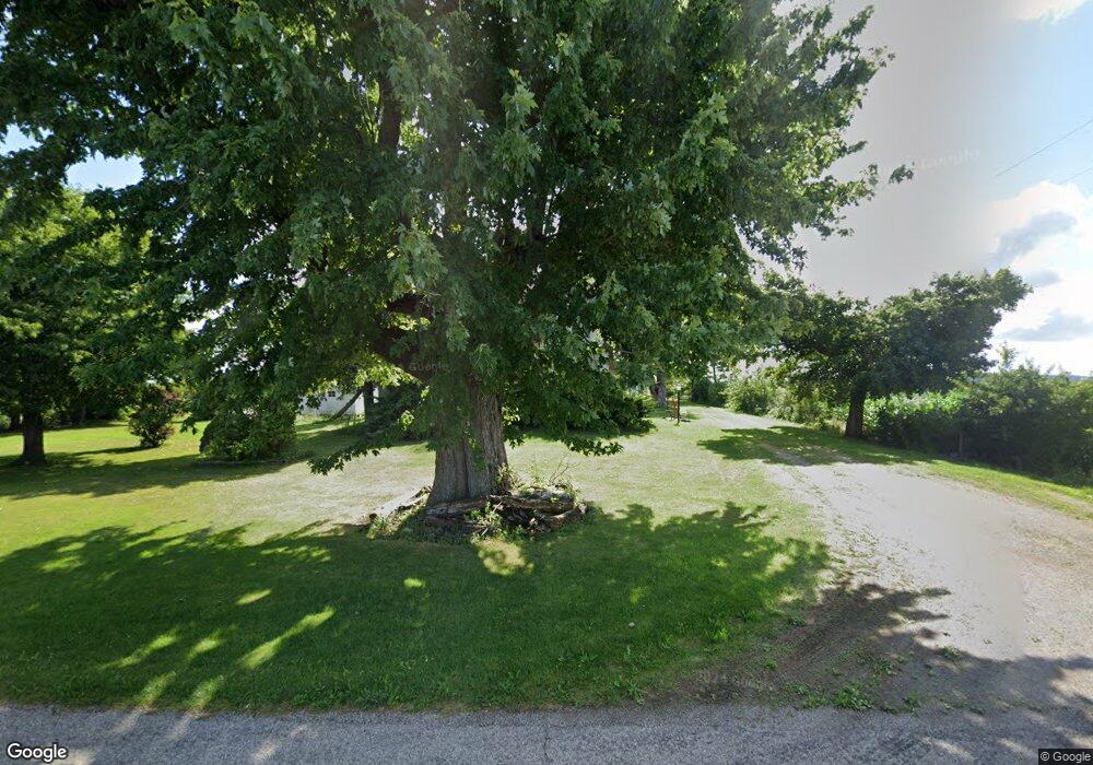
9820 Bragg Rd Bellevue, OH 44811
Estimated Value: $274,000 - $301,000
3
Beds
1
Bath
2,128
Sq Ft
$136/Sq Ft
Est. Value
About This Home
This home is located at 9820 Bragg Rd, Bellevue, OH 44811 and is currently estimated at $288,957, approximately $135 per square foot. 9820 Bragg Rd is a home with nearby schools including Bellevue Elementary School, Bellevue Middle School, and Bellevue High School.
Ownership History
Date
Name
Owned For
Owner Type
Purchase Details
Closed on
Feb 11, 2020
Sold by
Nixon Darlene W and Nixon John E
Bought by
Nixon John E and Nixon Darlene W
Current Estimated Value
Purchase Details
Closed on
Jun 7, 2016
Sold by
Weiland Doris E
Bought by
Darlene W Nixon
Home Financials for this Owner
Home Financials are based on the most recent Mortgage that was taken out on this home.
Interest Rate
3.66%
Purchase Details
Closed on
Sep 22, 2011
Sold by
Weiland Denver C and Weiland Doris E
Bought by
K D E Holdings Llc
Create a Home Valuation Report for This Property
The Home Valuation Report is an in-depth analysis detailing your home's value as well as a comparison with similar homes in the area
Home Values in the Area
Average Home Value in this Area
Purchase History
| Date | Buyer | Sale Price | Title Company |
|---|---|---|---|
| Nixon John E | -- | None Available | |
| Darlene W Nixon | -- | -- | |
| K D E Holdings Llc | $321,300 | Southern Title | |
| Weiland Denver C | -- | Southern Title |
Source: Public Records
Mortgage History
| Date | Status | Borrower | Loan Amount |
|---|---|---|---|
| Closed | Darlene W Nixon | -- |
Source: Public Records
Tax History Compared to Growth
Tax History
| Year | Tax Paid | Tax Assessment Tax Assessment Total Assessment is a certain percentage of the fair market value that is determined by local assessors to be the total taxable value of land and additions on the property. | Land | Improvement |
|---|---|---|---|---|
| 2024 | $3,218 | $80,856 | $14,955 | $65,901 |
| 2023 | $3,218 | $58,737 | $10,598 | $48,139 |
| 2022 | $2,634 | $58,733 | $10,598 | $48,135 |
| 2021 | $2,635 | $58,740 | $10,600 | $48,140 |
| 2020 | $2,603 | $56,970 | $10,600 | $46,370 |
| 2019 | $2,653 | $56,970 | $10,600 | $46,370 |
| 2018 | $2,491 | $53,340 | $10,600 | $42,740 |
| 2017 | $2,093 | $45,050 | $9,510 | $35,540 |
| 2016 | $1,652 | $45,050 | $9,510 | $35,540 |
| 2015 | $1,656 | $45,050 | $9,510 | $35,540 |
| 2014 | $1,635 | $43,280 | $7,740 | $35,540 |
| 2013 | $1,643 | $43,280 | $7,740 | $35,540 |
Source: Public Records
Map
Nearby Homes
- 10701 Strecker Rd
- 124 Sunset Dr
- 819 Castalia St
- 808 Castalia St
- 130 Huffman St
- 140 Harkness St
- 817 E Main St
- 219 Huffman St
- 501 E Center St
- 126 Greenwood Heights
- 3050 E Main St
- 408 W Main St
- 206 Southwest St
- 9611 Mason Rd
- 140 Hobson St
- 129 Hamilton St
- 8802 Mason Rd
- 118 Maplewood
- 154 Ashford Ave
- 231 Lawrence St
- 9911 Billings Rd
- 9208 Bragg Rd
- 10208 Billings Rd
- 10214 Billings Rd
- 10707 Knauss Rd
- 10216 Strecker Rd
- 10507 Strecker Rd
- 10317 Strecker Rd
- 10712 Bragg Rd
- 10309 Strecker Rd
- 10605 Strecker Rd
- 10615 Strecker Rd
- 10615 Strecker Rd
- 10303 Strecker Rd
- 10303 Strecker Rd
- 10709 Strecker Rd
- 10614 Billings Rd
- 10817 Strecker Rd
- 10513 Strecker Rd
- 11211 Knauss Rd
