9822 Bloomfield North Rd Gentry, AR 72734
Estimated Value: $359,254 - $553,000
--
Bed
1
Bath
1,736
Sq Ft
$250/Sq Ft
Est. Value
About This Home
This home is located at 9822 Bloomfield North Rd, Gentry, AR 72734 and is currently estimated at $433,814, approximately $249 per square foot. 9822 Bloomfield North Rd is a home located in Benton County with nearby schools including Gentry Intermediate School, Gentry Primary School, and Gentry Middle School.
Ownership History
Date
Name
Owned For
Owner Type
Purchase Details
Closed on
Nov 5, 2003
Bought by
Fly
Current Estimated Value
Purchase Details
Closed on
Jun 20, 2003
Bought by
Stichka B
Purchase Details
Closed on
Nov 15, 1995
Bought by
Stichka
Purchase Details
Closed on
Apr 15, 1988
Bought by
Ward
Purchase Details
Closed on
Jul 25, 1986
Bought by
Lovett
Purchase Details
Closed on
Apr 18, 1986
Bought by
1S T Nat Bk
Purchase Details
Closed on
Oct 11, 1983
Bought by
Climer
Create a Home Valuation Report for This Property
The Home Valuation Report is an in-depth analysis detailing your home's value as well as a comparison with similar homes in the area
Home Values in the Area
Average Home Value in this Area
Purchase History
| Date | Buyer | Sale Price | Title Company |
|---|---|---|---|
| Fly | $133,000 | -- | |
| Stichka B | -- | -- | |
| Stichka | $110,000 | -- | |
| Ward | $31,000 | -- | |
| Lovett | $32,000 | -- | |
| 1S T Nat Bk | -- | -- | |
| Climer | $18,000 | -- |
Source: Public Records
Tax History Compared to Growth
Tax History
| Year | Tax Paid | Tax Assessment Tax Assessment Total Assessment is a certain percentage of the fair market value that is determined by local assessors to be the total taxable value of land and additions on the property. | Land | Improvement |
|---|---|---|---|---|
| 2025 | $1,285 | $42,807 | $6,384 | $36,423 |
| 2024 | $1,199 | $42,807 | $6,384 | $36,423 |
| 2023 | $1,143 | $30,220 | $1,960 | $28,260 |
| 2022 | $789 | $30,220 | $1,960 | $28,260 |
| 2021 | $735 | $30,220 | $1,960 | $28,260 |
| 2020 | $682 | $19,900 | $1,350 | $18,550 |
| 2019 | $682 | $19,900 | $1,350 | $18,550 |
| 2018 | $707 | $19,900 | $1,350 | $18,550 |
| 2017 | $707 | $19,900 | $1,350 | $18,550 |
| 2016 | $707 | $19,900 | $1,350 | $18,550 |
| 2015 | $1,382 | $27,640 | $6,000 | $21,640 |
| 2014 | $1,032 | $27,640 | $6,000 | $21,640 |
Source: Public Records
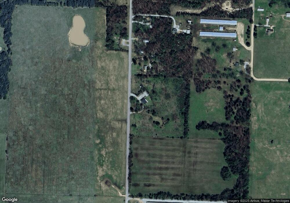
Map
Nearby Homes
- 0 Bozarth Cemetery Rd
- TBD N Bloomfield Rd
- 22006 Bozarth Cemetery Rd
- 22443 Floyd Moore Rd
- 9065 Pine Grove Rd
- 22.56 Acres Floyd Moore Rd
- TBD Floyd Moore Rd
- 21854 Floyd Moore Rd
- 21743 Bozarth Cemetery Rd
- 0 Ruby Hall Rd Unit 25-289
- 0 Ruby Hall Rd Unit 1296833
- TBD Ruby Hall Rd
- 21214 Floyd Moore Rd
- 11230 John Zodrow Rd
- 23489 W Highway 12
- 23963 Floyd Moore Rd
- 11419 Cripps Rd
- 23632 Coon Hollow Rd
- 21944 Arkansas 12
- 23540 Arkansas 12
- 9776 Bloomfield North Rd
- 9776 Bloomfield North Rd
- 9728 Bloomfield North Rd
- 9727 Bloomfield North Rd
- 9718 Bloomfield North Rd
- 9712 Bloomfield North Rd
- 22401 Bozarth Cemetery Rd
- 10004 Bloomfield North Rd
- 10004 Bloomfield Rd N
- 9611 Bloomfield North Rd
- 9622 Bloomfield North Rd
- 22424 Bozarth Cemetery Rd
- 10063 Bloomfield North Rd
- 22693 Bozarth Cemetery Rd
- 23211 Cherokee Rd
- 22490 Bozarth Cemetery Rd
- 22436 Bozarth Cemetery Rd
- 22820 Cherokee Rd
- 22432 Bozarth Cemetery Rd
- 22787 Bozarth Cemetery Rd