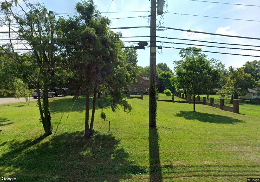
9822 McCauly Rd Cincinnati, OH 45241
West Chester Township NeighborhoodEstimated Value: $529,000 - $714,000
5
Beds
3
Baths
3,759
Sq Ft
$170/Sq Ft
Est. Value
About This Home
This home is located at 9822 McCauly Rd, Cincinnati, OH 45241 and is currently estimated at $637,459, approximately $169 per square foot. 9822 McCauly Rd is a home located in Butler County with nearby schools including Adena Elementary School, Lakota Ridge Junior School, and Lakota West High School.
Ownership History
Date
Name
Owned For
Owner Type
Purchase Details
Closed on
Dec 14, 1999
Sold by
Freeman Eric and Freeman Jeanne
Bought by
Levario Evangelina
Current Estimated Value
Home Financials for this Owner
Home Financials are based on the most recent Mortgage that was taken out on this home.
Original Mortgage
$47,500
Interest Rate
10%
Mortgage Type
Seller Take Back
Purchase Details
Closed on
Nov 21, 1998
Sold by
Anderson Micki K
Bought by
Freeman Eric and Freeman Jeanne
Purchase Details
Closed on
Sep 11, 1995
Sold by
Byrd James M
Bought by
Anderson Micki K
Create a Home Valuation Report for This Property
The Home Valuation Report is an in-depth analysis detailing your home's value as well as a comparison with similar homes in the area
Home Values in the Area
Average Home Value in this Area
Purchase History
| Date | Buyer | Sale Price | Title Company |
|---|---|---|---|
| Levario Evangelina | $122,500 | -- | |
| Freeman Eric | $120,000 | -- | |
| Anderson Micki K | $115,000 | -- |
Source: Public Records
Mortgage History
| Date | Status | Borrower | Loan Amount |
|---|---|---|---|
| Closed | Levario Evangelina | $47,500 |
Source: Public Records
Tax History
| Year | Tax Paid | Tax Assessment Tax Assessment Total Assessment is a certain percentage of the fair market value that is determined by local assessors to be the total taxable value of land and additions on the property. | Land | Improvement |
|---|---|---|---|---|
| 2025 | $8,293 | $201,040 | $19,160 | $181,880 |
| 2024 | $8,293 | $201,040 | $19,160 | $181,880 |
| 2023 | $8,234 | $201,040 | $19,160 | $181,880 |
| 2022 | $7,669 | $131,850 | $19,160 | $112,690 |
| 2021 | $6,670 | $126,480 | $19,160 | $107,320 |
| 2020 | $6,828 | $126,480 | $19,160 | $107,320 |
| 2019 | $10,980 | $114,580 | $19,160 | $95,420 |
| 2018 | $6,488 | $114,580 | $19,160 | $95,420 |
| 2017 | $6,604 | $114,580 | $19,160 | $95,420 |
| 2016 | $6,098 | $99,610 | $19,160 | $80,450 |
| 2015 | $6,095 | $99,610 | $19,160 | $80,450 |
| 2014 | $7,043 | $99,610 | $19,160 | $80,450 |
| 2013 | $7,043 | $112,050 | $17,760 | $94,290 |
Source: Public Records
Map
Nearby Homes
- 8175 Sunburst Dr
- 9917 Shorewood Ln
- 9621 Iris Dr
- 9548 Butler Warren Rd
- 9509 Butler Warren Rd
- 7815 Bennington Dr
- 9511 Butler Warren Rd
- 9582 Opal Ln
- 9720 Cedar Knoll Dr
- 8830 Butler Warren Rd
- 8820 Butler Warren Rd
- 9665 New Castle Ct
- 12152 3rd Ave
- 6526 Hawk Ct
- 9296 Hare Dr
- 12152 7th Ave
- 6978 Fallen Oaks Dr
- 9933 Hampstead Ct
- 7812 Cincinnati Ave
- 9286 Westchester Park Ct
- 9872 McCauly Rd
- 9810 McCauly Rd
- 8138 Lois Dr
- 9868 McCauly Rd
- 8146 Lois Dr
- 8095 New Brunswick Dr
- 9804 McCauly Rd
- 8091 New Brunswick Dr
- 9818 McCauly Rd
- 8098 New Brunswick Dr
- 8087 New Brunswick Dr
- 8046 Bennington Dr
- 8079 Raintree Cir
- 8109 Lois Dr
- 8067 New Brunswick Dr
- 8127 Lois Dr
- 8070 New Brunswick Dr
- 8141 Lois Dr
- 8180 Lois Dr
- 8180 Lois Dr
Your Personal Tour Guide
Ask me questions while you tour the home.