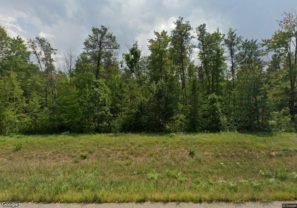
983 State Road 21 Friendship, WI 53934
Estimated Value: $467,736 - $632,000
3
Beds
--
Bath
2,642
Sq Ft
$201/Sq Ft
Est. Value
About This Home
This home is located at 983 State Road 21, Friendship, WI 53934 and is currently estimated at $529,934, approximately $200 per square foot. 983 State Road 21 is a home located in Adams County with nearby schools including Adams-Friendship High School.
Ownership History
Date
Name
Owned For
Owner Type
Purchase Details
Closed on
Apr 9, 2019
Sold by
Kania Jill M
Bought by
Bennett Derek D
Current Estimated Value
Purchase Details
Closed on
Jan 23, 2019
Sold by
Christopher Kania M
Bought by
Kania Jill M
Purchase Details
Closed on
Apr 8, 2015
Sold by
Kania Christopher M
Bought by
Kania Christopher M
Purchase Details
Closed on
Mar 7, 2014
Sold by
Lynch John G and Lynch Susan F
Bought by
Kania Christopher M
Purchase Details
Closed on
Sep 21, 2012
Sold by
Leanne J Leanne J
Bought by
Lynch John G and Lynch Susan F
Create a Home Valuation Report for This Property
The Home Valuation Report is an in-depth analysis detailing your home's value as well as a comparison with similar homes in the area
Home Values in the Area
Average Home Value in this Area
Purchase History
| Date | Buyer | Sale Price | Title Company |
|---|---|---|---|
| Bennett Derek D | $274,950 | -- | |
| Kania Jill M | $194,700 | -- | |
| Kania Christopher M | $164,000 | -- | |
| Kania Christopher M | $185,000 | -- | |
| Lynch John G | -- | -- |
Source: Public Records
Tax History Compared to Growth
Tax History
| Year | Tax Paid | Tax Assessment Tax Assessment Total Assessment is a certain percentage of the fair market value that is determined by local assessors to be the total taxable value of land and additions on the property. | Land | Improvement |
|---|---|---|---|---|
| 2024 | $4,382 | $261,300 | $22,200 | $239,100 |
| 2023 | $4,223 | $261,300 | $22,200 | $239,100 |
| 2022 | $3,396 | $261,300 | $22,200 | $239,100 |
| 2021 | $3,491 | $261,300 | $22,200 | $239,100 |
| 2020 | $3,573 | $188,400 | $18,000 | $170,400 |
| 2019 | $3,068 | $188,400 | $18,000 | $170,400 |
| 2018 | $2,988 | $188,400 | $18,000 | $170,400 |
| 2017 | $2,986 | $188,400 | $18,000 | $170,400 |
| 2016 | $2,940 | $188,400 | $18,000 | $170,400 |
| 2015 | -- | $188,400 | $18,000 | $170,400 |
| 2014 | -- | $170,700 | $18,000 | $152,700 |
| 2013 | -- | $170,700 | $18,000 | $152,700 |
Source: Public Records
Map
Nearby Homes
- Lt2 Wisconsin 21
- 1669 10th Ave
- 1626 8th Dr
- 1730 9th Ave
- State Hwy 21
- 1835 10th Ave
- 2 Cumberland Court Dr Unit Lot 2
- Lot 4 Cumberland Court Dr Unit 4
- 300 Cumberland Court Dr
- Cumberland Ct Dr
- 300 Cumberland Ct Dr
- 1088 S Chicago Ln
- 1078 Chicago Ln
- 1162 Cottonville Ave
- 1163 Chicago Ln
- 1160 Chicago Ln
- 1152 Chicago Ln
- 1388 W 13th Ave
- 1332 11th Dr
- L15 Czech
- 983 Hwy 21
- 983 Highway 21
- 983A Hwy 21
- 3.39 Acres Hwy 21
- 3.39 Acres State Rd 21
- Lot 3 Wisconsin 21
- 976 S Chicago Ct
- 1632 10th Ave
- 1632 10th Ave Unit B
- 1614 10th Ave
- L3 10th Ave
- L5 10th Ave
- L1 10th Ave
- L4 10th Ave
- L2 10th Ave
- ON State Highway 21 Unit Meteor 8313-4
- ON State Highway 21 Unit Meteor 8314-6
- 1636 10th Ave
- 1634 10th Ave
- 1617 10th Ave
