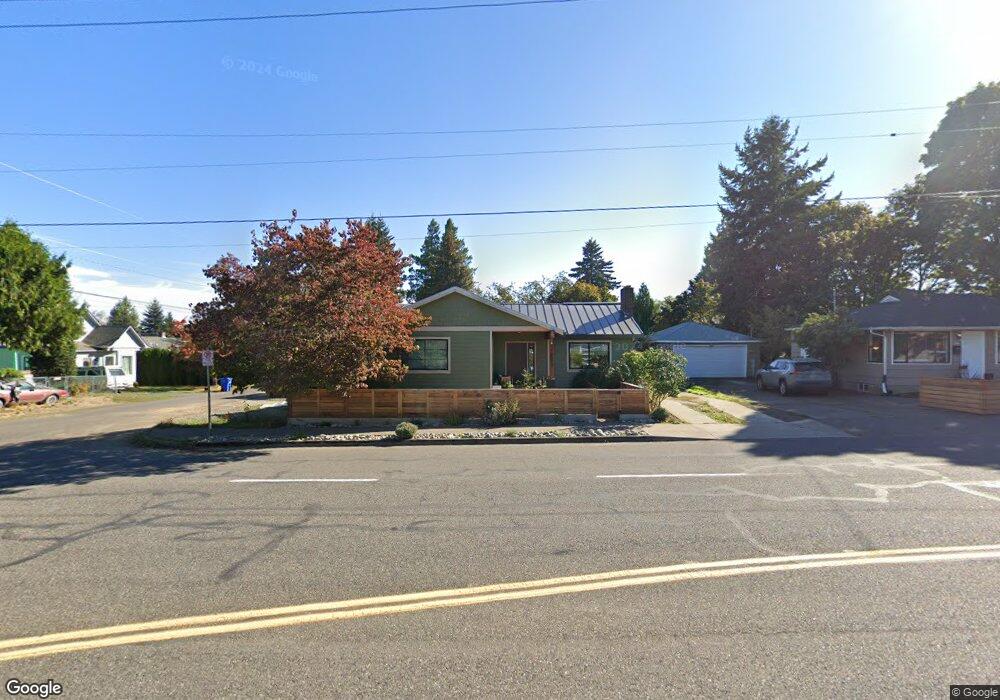
9834 N MacRum Ave Portland, OR 97203
Saint Johns NeighborhoodEstimated Value: $373,000 - $423,285
2
Beds
1
Bath
1,428
Sq Ft
$276/Sq Ft
Est. Value
About This Home
This home is located at 9834 N MacRum Ave, Portland, OR 97203 and is currently estimated at $394,071, approximately $275 per square foot. 9834 N MacRum Ave is a home located in Multnomah County with nearby schools including James John Elementary School, George Middle School, and Roosevelt High School.
Ownership History
Date
Name
Owned For
Owner Type
Purchase Details
Closed on
Jul 26, 2012
Sold by
Sallee Raymond Eugene
Bought by
Vanrheen Aaron and Vanrheen Stephanie
Current Estimated Value
Home Financials for this Owner
Home Financials are based on the most recent Mortgage that was taken out on this home.
Original Mortgage
$123,500
Outstanding Balance
$85,475
Interest Rate
3.65%
Mortgage Type
New Conventional
Estimated Equity
$308,596
Purchase Details
Closed on
Feb 1, 2007
Sold by
Hales John
Bought by
Panza Rose and Pereira Luis
Create a Home Valuation Report for This Property
The Home Valuation Report is an in-depth analysis detailing your home's value as well as a comparison with similar homes in the area
Home Values in the Area
Average Home Value in this Area
Purchase History
| Date | Buyer | Sale Price | Title Company |
|---|---|---|---|
| Vanrheen Aaron | $136,000 | Fidelity National Title Or | |
| Panza Rose | $185,000 | Accommodation |
Source: Public Records
Mortgage History
| Date | Status | Borrower | Loan Amount |
|---|---|---|---|
| Open | Vanrheen Aaron | $123,500 | |
| Closed | Panza Rose | $0 |
Source: Public Records
Tax History Compared to Growth
Tax History
| Year | Tax Paid | Tax Assessment Tax Assessment Total Assessment is a certain percentage of the fair market value that is determined by local assessors to be the total taxable value of land and additions on the property. | Land | Improvement |
|---|---|---|---|---|
| 2024 | $3,218 | $120,290 | -- | -- |
| 2023 | $3,095 | $116,790 | $0 | $0 |
| 2022 | $3,028 | $113,390 | $0 | $0 |
| 2021 | $2,977 | $110,090 | $0 | $0 |
| 2020 | $2,731 | $106,890 | $0 | $0 |
| 2019 | $2,630 | $103,780 | $0 | $0 |
| 2018 | $2,553 | $100,760 | $0 | $0 |
| 2017 | $2,447 | $97,830 | $0 | $0 |
| 2016 | $2,240 | $94,990 | $0 | $0 |
| 2015 | $2,181 | $92,230 | $0 | $0 |
| 2014 | $1,945 | $81,100 | $0 | $0 |
Source: Public Records
Map
Nearby Homes
- 6244 N Columbia Way
- 6640 N Columbia Blvd
- 6669 N Fessenden St Unit 25
- 6649 N Fessenden St Unit 11
- 6675 N Fessenden St Unit 14
- 6838 N Columbia Blvd
- 10112 N Oregonian Ave
- 10227 N MacRum Ave
- 9449 N Geneva Ave
- 6905 N Bank St
- 6909 N Bank St
- 6913 N Bank St
- 6915 N Bank St
- 6914 N Swift St
- 6916 N Swift St
- 7045 N Mears St
- 9832 N Clarendon Ave Unit 9836
- 6926 N Armour St
- 6815 N Smith St
- 9832 N Van Houten Ave
- 9822 N MacRum Ave
- 6283 N Mears St
- 6275 N Mears St
- 9825 N MacRum Ave
- 6265 N Mears St
- 6250 N Mears St
- 6247 N Columbia Way
- 6265 N Columbia Way
- 6239 N Columbia Way
- 6255 N Mears St
- 9907 N MacRum Ave
- 6616 N Mears St
- 6605 N Powers St
- 6231 N Columbia Way
- 6270 N Columbia Blvd
- 6615 N Powers St
- 6617 N Mears St
- 6624 N Mears St
- 6221 N Columbia Way
- 6235 N Mears St