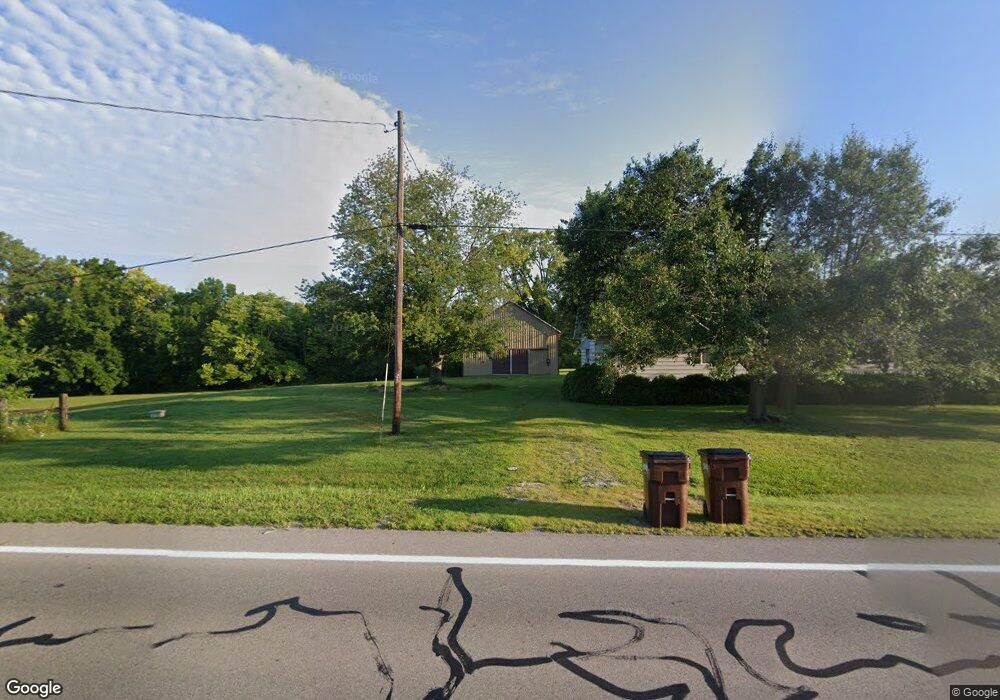
9834 Us Route 36 Bradford, OH 45308
Estimated Value: $218,000 - $339,373
3
Beds
2
Baths
1,896
Sq Ft
$142/Sq Ft
Est. Value
About This Home
This home is located at 9834 Us Route 36, Bradford, OH 45308 and is currently estimated at $269,791, approximately $142 per square foot. 9834 Us Route 36 is a home with nearby schools including Bradford Elementary School and Bradford High School.
Ownership History
Date
Name
Owned For
Owner Type
Purchase Details
Closed on
Sep 29, 2012
Sold by
Hubbard Patricia S
Bought by
Brown Mark E and Brown Heidi S
Current Estimated Value
Purchase Details
Closed on
Jul 8, 2002
Sold by
Hubbard Patricia S
Bought by
Hubbard Charles C and Hubbard Patricia S
Purchase Details
Closed on
Jun 12, 2002
Sold by
Stover Paul E
Bought by
Hubbard Patricia S
Purchase Details
Closed on
Jan 29, 1992
Bought by
Hubbard Patricia S
Create a Home Valuation Report for This Property
The Home Valuation Report is an in-depth analysis detailing your home's value as well as a comparison with similar homes in the area
Home Values in the Area
Average Home Value in this Area
Purchase History
| Date | Buyer | Sale Price | Title Company |
|---|---|---|---|
| Brown Mark E | -- | None Available | |
| Hubbard Charles C | $58,500 | -- | |
| Hubbard Patricia S | $70,000 | -- | |
| Hubbard Patricia S | -- | -- |
Source: Public Records
Tax History Compared to Growth
Tax History
| Year | Tax Paid | Tax Assessment Tax Assessment Total Assessment is a certain percentage of the fair market value that is determined by local assessors to be the total taxable value of land and additions on the property. | Land | Improvement |
|---|---|---|---|---|
| 2024 | $2,775 | $84,370 | $45,960 | $38,410 |
| 2023 | $2,788 | $84,370 | $45,960 | $38,410 |
| 2022 | $2,581 | $72,630 | $41,920 | $30,710 |
| 2021 | $2,303 | $72,630 | $41,920 | $30,710 |
| 2020 | $2,263 | $72,630 | $41,920 | $30,710 |
| 2019 | $2,066 | $67,510 | $41,920 | $25,590 |
| 2018 | $1,978 | $67,510 | $41,920 | $25,590 |
| 2017 | $1,454 | $67,510 | $41,920 | $25,590 |
| 2016 | $3,057 | $52,290 | $29,740 | $22,550 |
| 2015 | $3,057 | $52,290 | $29,740 | $22,550 |
| 2014 | $925 | $52,290 | $29,740 | $22,550 |
| 2013 | $732 | $52,010 | $29,460 | $22,550 |
Source: Public Records
Map
Nearby Homes
- 9983 New Harrison-Bradford Rd
- 9983 New Harrison Bradford Rd
- 211 W Elm St
- 206 W Elm St
- 231 E Vine St
- 6791 Smith Rd
- 142 W James St
- 427 S Miami Ave
- 324 E Elm St
- 219 E Church St
- 235 E Church St
- 6985 Smith Road 1
- 320 E Church St
- 311 School St
- 310 E Main St
- 124 E Keller St
- 10770 U S 36
- 209 Adams St
- 6417 Gettysburg Pitsburg Rd
- 9145 W US Route 36
- 9867 Us Route 36
- 9868 Us Route 36
- 9946 Us Route 36
- 6724 N State Route 721
- 6756 N State Route 721
- 6742 N State Route 721
- 9642 Us Route 36
- 6768 N State Route 721
- 6778 N State Route 721
- 6788 Ohio 721
- 6788 N State Route 721
- 6800 N State Route 721
- 6808 N State Route 721
- 6812 N State Route 721
- 9605 Us Route 36
- 6814 N State Route 721
- 9817 New Harrison Bradford Rd
- 9574 Us Route 36
- 6864 N State Route 721
- 6884 N State Route 721