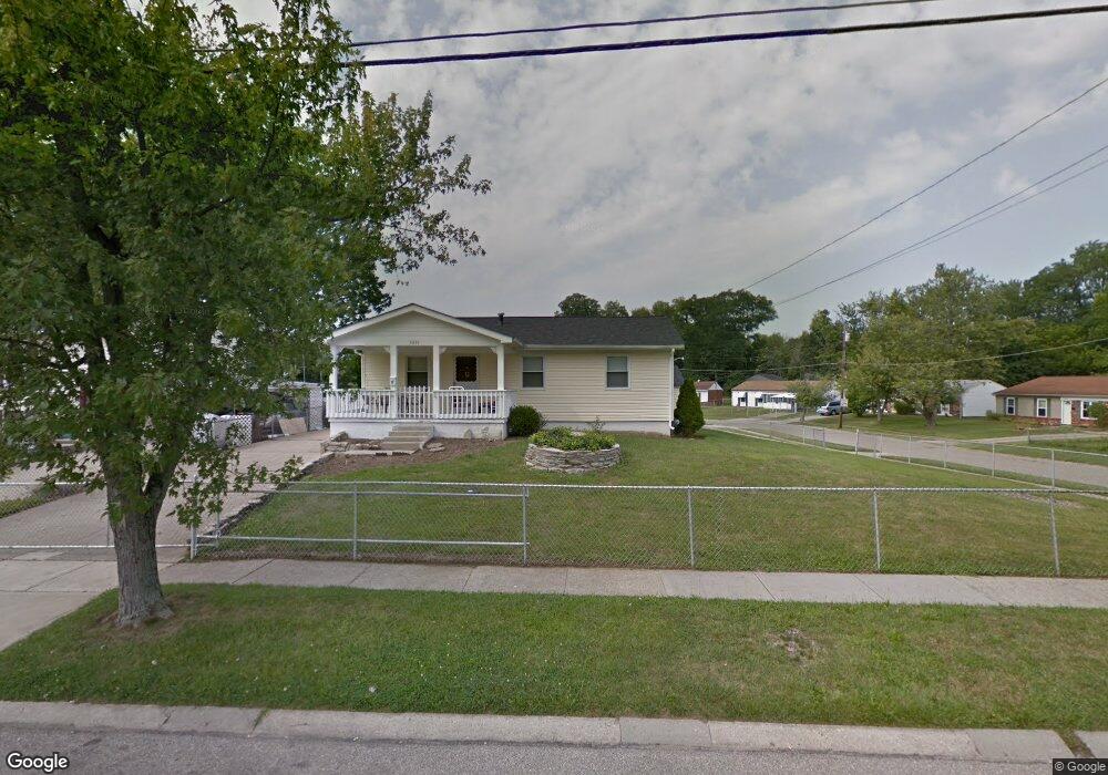
9835 Dunraven Dr Cincinnati, OH 45251
Estimated Value: $158,000 - $180,695
4
Beds
1
Bath
1,064
Sq Ft
$156/Sq Ft
Est. Value
About This Home
This home is located at 9835 Dunraven Dr, Cincinnati, OH 45251 and is currently estimated at $166,174, approximately $156 per square foot. 9835 Dunraven Dr is a home located in Hamilton County with nearby schools including Taylor Elementary School, Pleasant Run Elementary School, and Pleasant Run Middle School.
Ownership History
Date
Name
Owned For
Owner Type
Purchase Details
Closed on
Dec 28, 1995
Sold by
Brockman Roland E and Brockman Jacqueline F
Bought by
Huff Robert J and Bowling Peggy K
Current Estimated Value
Home Financials for this Owner
Home Financials are based on the most recent Mortgage that was taken out on this home.
Original Mortgage
$74,949
Outstanding Balance
$2,036
Interest Rate
7.36%
Mortgage Type
FHA
Estimated Equity
$164,138
Create a Home Valuation Report for This Property
The Home Valuation Report is an in-depth analysis detailing your home's value as well as a comparison with similar homes in the area
Home Values in the Area
Average Home Value in this Area
Purchase History
| Date | Buyer | Sale Price | Title Company |
|---|---|---|---|
| Huff Robert J | -- | -- |
Source: Public Records
Mortgage History
| Date | Status | Borrower | Loan Amount |
|---|---|---|---|
| Open | Huff Robert J | $74,949 |
Source: Public Records
Tax History Compared to Growth
Tax History
| Year | Tax Paid | Tax Assessment Tax Assessment Total Assessment is a certain percentage of the fair market value that is determined by local assessors to be the total taxable value of land and additions on the property. | Land | Improvement |
|---|---|---|---|---|
| 2024 | $2,627 | $48,433 | $9,821 | $38,612 |
| 2023 | $2,638 | $48,433 | $9,821 | $38,612 |
| 2022 | $2,231 | $33,362 | $8,659 | $24,703 |
| 2021 | $2,215 | $33,362 | $8,659 | $24,703 |
| 2020 | $2,233 | $33,362 | $8,659 | $24,703 |
| 2019 | $1,935 | $26,905 | $6,983 | $19,922 |
| 2018 | $1,738 | $26,905 | $6,983 | $19,922 |
| 2017 | $1,651 | $26,905 | $6,983 | $19,922 |
| 2016 | $1,754 | $28,256 | $7,049 | $21,207 |
| 2015 | $1,769 | $28,256 | $7,049 | $21,207 |
| 2014 | $1,772 | $28,256 | $7,049 | $21,207 |
| 2013 | $1,781 | $29,743 | $7,420 | $22,323 |
Source: Public Records
Map
Nearby Homes
- 9738 Gibralter Dr
- 9737 Dunraven Dr
- 2788 Hazelton Ct
- 9712 Manhattan Dr
- 9977 Dunraven Dr
- 9974 Marino Dr
- 9659 Cedarhurst Dr
- 9828 Loralinda Dr
- 9648 Cedarhurst Dr
- 9717 Loralinda Dr
- 2592 Wenning Rd
- 9562 Trafalgar Ct
- 9810 Norcrest Dr
- 2680 Topeka St
- 3246 Ainsworth Dr
- 3276 Deshler Dr
- 3275 Deshler Dr
- 3244 Springdale Rd
- 2908 Libra Ln
- 2479 Ontario St
- 9827 Dunraven Dr
- 9828 Allegheny Dr
- 9847 Dunraven Dr
- 9814 Allegheny Dr
- 9821 Dunraven Dr
- 9832 Dunraven Dr
- 9838 Dunraven Dr
- 9839 Allegheny Dr
- 9846 Dunraven Dr
- 9816 Dunraven Dr
- 9808 Allegheny Dr
- 9815 Dunraven Dr
- 9833 Allegheny Dr
- 9827 Allegheny Dr
- 9861 Dunraven Dr
- 9821 Allegheny Dr
- 9809 Dunraven Dr
- 9860 Dunraven Dr
- 9815 Allegheny Dr
- 2914 Atwater Dr