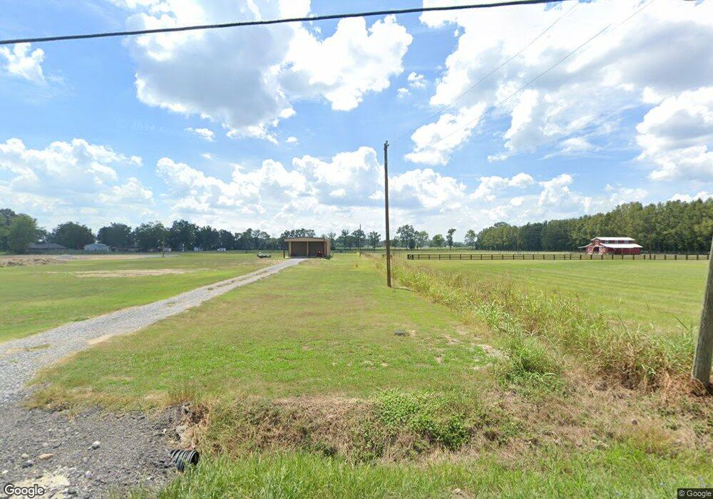
9837 Burnside Rd Parish Governing Authority District 7, LA 70729
West Baton Rouge Parish NeighborhoodEstimated Value: $207,459
--
Bed
--
Bath
--
Sq Ft
24.42
Acres
About This Home
This home is located at 9837 Burnside Rd, Parish Governing Authority District 7, LA 70729 and is currently estimated at $207,459. 9837 Burnside Rd is a home located in West Baton Rouge Parish with nearby schools including Caneview K-8 School, Chamberlin Elementary School, and Devall Middle School.
Ownership History
Date
Name
Owned For
Owner Type
Purchase Details
Closed on
Jul 13, 2023
Sold by
Jacobsen Rose Lynn Daquano and Jacobsen Adrian
Bought by
Nash Lemoine Sheila and Nash Mark Lemoine
Current Estimated Value
Home Financials for this Owner
Home Financials are based on the most recent Mortgage that was taken out on this home.
Original Mortgage
$160,800
Outstanding Balance
$156,805
Interest Rate
6.79%
Mortgage Type
New Conventional
Estimated Equity
$50,654
Create a Home Valuation Report for This Property
The Home Valuation Report is an in-depth analysis detailing your home's value as well as a comparison with similar homes in the area
Home Values in the Area
Average Home Value in this Area
Purchase History
| Date | Buyer | Sale Price | Title Company |
|---|---|---|---|
| Nash Lemoine Sheila | $201,000 | First American Title |
Source: Public Records
Mortgage History
| Date | Status | Borrower | Loan Amount |
|---|---|---|---|
| Open | Nash Lemoine Sheila | $160,800 |
Source: Public Records
Tax History Compared to Growth
Tax History
| Year | Tax Paid | Tax Assessment Tax Assessment Total Assessment is a certain percentage of the fair market value that is determined by local assessors to be the total taxable value of land and additions on the property. | Land | Improvement |
|---|---|---|---|---|
| 2024 | $20 | $210 | $210 | $0 |
| 2023 | $22 | $210 | $210 | $0 |
| 2022 | $22 | $210 | $210 | $0 |
| 2021 | $90 | $840 | $840 | $0 |
| 2020 | $91 | $840 | $840 | $0 |
| 2019 | $95 | $840 | $840 | $0 |
| 2018 | $96 | $840 | $840 | $0 |
| 2017 | $89 | $840 | $840 | $0 |
| 2015 | $63 | $730 | $730 | $0 |
| 2014 | $62 | $730 | $730 | $0 |
| 2013 | $62 | $730 | $730 | $0 |
Source: Public Records
Map
Nearby Homes
- 9527 Burnside Rd
- 9766 Skynet Ln
- 9765 Skynet Ln
- 9324 Burnside Rd
- 7000 Bueche Rd
- 6229 Rougon Rd
- 8330 Bueche Rd
- 6255 Rougon Rd
- 5211 Wilcox Dr
- TBD E Subdivision Rd
- TBD E Subdivision Rd
- 11837 E Subdivision Rd
- 4900 Bueche Rd
- 10082 Swanson Ln
- 8856 Singleton Rd
- 8958 Singleton Rd
- 3638 Oakland Rd Unit 6
- 4926 Arbroth Rd
- 1053 Poydras Bayou Rd
- 6642 Section Rd
- 9534 Burnside Rd
- 9640 Burnside Rd
- 6846 Lone Oak Dr
- 9837B Burnside Rd
- 9837C Burnside Rd
- 9837 D Burnside Rd
- 9837 D Burnside Rd
- 9837D Burnside Rd
- 9837C Burnside Rd
- 9837A Burnside Rd
- 9837B Burnside Rd
- 9837 Burnside Rd
- 0 Burnside Rd Unit BR201116786
- 0 Burnside Rd Unit BR201009169
- 0 Burnside Rd Unit BR2008188799
- 0 Burnside Rd
- 9532 Burnside Rd
- 6826 Lone Oak Dr
- 6745 Lone Oak Dr
- 6623 Lone Oak Dr
