98381 Thomas Ln Brookings, OR 97415
Estimated Value: $678,000 - $742,330
3
Beds
3
Baths
2,400
Sq Ft
$296/Sq Ft
Est. Value
About This Home
This home is located at 98381 Thomas Ln, Brookings, OR 97415 and is currently estimated at $710,165, approximately $295 per square foot. 98381 Thomas Ln is a home located in Curry County with nearby schools including Kalmiopsis Elementary School, Azalea Middle School, and Brookings-Harbor High School.
Ownership History
Date
Name
Owned For
Owner Type
Purchase Details
Closed on
Apr 7, 2014
Sold by
Birney Calvin and Birney Sherry L
Bought by
Kacherwski Mickey
Current Estimated Value
Purchase Details
Closed on
Mar 28, 2008
Sold by
Countrywide Home Loans Inc
Bought by
Birney Calvin and Birney Sherry L
Home Financials for this Owner
Home Financials are based on the most recent Mortgage that was taken out on this home.
Original Mortgage
$266,000
Interest Rate
6.22%
Mortgage Type
New Conventional
Create a Home Valuation Report for This Property
The Home Valuation Report is an in-depth analysis detailing your home's value as well as a comparison with similar homes in the area
Home Values in the Area
Average Home Value in this Area
Purchase History
| Date | Buyer | Sale Price | Title Company |
|---|---|---|---|
| Kacherwski Mickey | $255,000 | First American American Co | |
| Birney Calvin | $285,000 | First American Title Co |
Source: Public Records
Mortgage History
| Date | Status | Borrower | Loan Amount |
|---|---|---|---|
| Previous Owner | Birney Calvin | $266,000 |
Source: Public Records
Tax History Compared to Growth
Tax History
| Year | Tax Paid | Tax Assessment Tax Assessment Total Assessment is a certain percentage of the fair market value that is determined by local assessors to be the total taxable value of land and additions on the property. | Land | Improvement |
|---|---|---|---|---|
| 2024 | $3,032 | $414,160 | -- | -- |
| 2023 | $2,945 | $402,100 | $0 | $0 |
| 2022 | $2,861 | $390,390 | -- | -- |
| 2021 | $2,780 | $379,020 | $0 | $0 |
| 2020 | $2,920 | $367,990 | $0 | $0 |
| 2019 | $2,643 | $357,280 | $0 | $0 |
| 2018 | $2,812 | $346,880 | $0 | $0 |
| 2017 | $2,705 | $346,880 | $0 | $0 |
| 2016 | $2,645 | $336,780 | $0 | $0 |
| 2015 | $2,507 | $326,980 | $0 | $0 |
| 2014 | $2,507 | $308,220 | $0 | $0 |
Source: Public Records
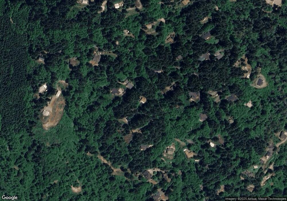
Map
Nearby Homes
- 17244 Mountain Dr
- 17301 Canyon Dr
- 98427 Van Pelt Dr
- 98393 E Cougar Ln
- 17360 Mountain Dr
- 17079 Mountain Dr
- 98465 N Bank Chetco River Rd
- 98493 N Bank Chetco River Rd
- 98431 S Bank Chetco River Rd
- 16876 Tule Rd
- 98215 Sunforest Ct Unit 14
- 98034 Crown Terrace
- 98007 Crown Terrace Unit 7
- 16898 Crown Terrace
- 0 Dale Ct Unit 2 432777854
- 0 Dale Ct Unit 5
- 98825 Pleasant Hill Dr Unit 36
- 98825 Pleasant Hill Dr Unit 30
- 00 Coho Dr
- 0 Jodel Ct Unit 3
- 98338 W Cougar Ln
- 17310 Mountain Dr
- 98336 W Cougar Ln
- 98360 Thomas Ln
- 98336 W Cougar Ln
- 0 Thomas Ln
- 98354 Thomas Ln
- 17308 Mountain Dr
- 0 W Cougar Dr
- 17311 Mountain Dr
- 17264 Mountain Dr
- 98330 Thomas Ln
- 000 Mountain Dr
- 17292 Mountain Dr
- 17330 Mountain Dr
- 98362 E Cougar Dr
- 98362 E Cougar Ln
- 0 Mountain Dr
- 17309 Mountain Dr
- 17224 Mountain Dr