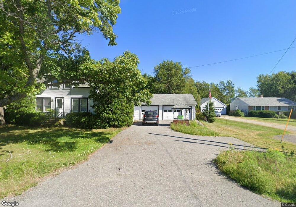
984 Bar Harbor Rd Trenton, ME 04605
Estimated Value: $312,127 - $574,000
3
Beds
3
Baths
955
Sq Ft
$453/Sq Ft
Est. Value
About This Home
This home is located at 984 Bar Harbor Rd, Trenton, ME 04605 and is currently estimated at $432,532, approximately $452 per square foot. 984 Bar Harbor Rd is a home with nearby schools including Trenton Elementary School and Acadia Christian School.
Ownership History
Date
Name
Owned For
Owner Type
Purchase Details
Closed on
Jun 10, 2020
Sold by
William A Labelle Sr Irt
Bought by
Cole Maddison B
Current Estimated Value
Home Financials for this Owner
Home Financials are based on the most recent Mortgage that was taken out on this home.
Original Mortgage
$139,680
Outstanding Balance
$123,816
Interest Rate
3.2%
Mortgage Type
New Conventional
Estimated Equity
$308,716
Create a Home Valuation Report for This Property
The Home Valuation Report is an in-depth analysis detailing your home's value as well as a comparison with similar homes in the area
Home Values in the Area
Average Home Value in this Area
Purchase History
| Date | Buyer | Sale Price | Title Company |
|---|---|---|---|
| Cole Maddison B | -- | None Available |
Source: Public Records
Mortgage History
| Date | Status | Borrower | Loan Amount |
|---|---|---|---|
| Open | Cole Maddison B | $139,680 |
Source: Public Records
Tax History Compared to Growth
Tax History
| Year | Tax Paid | Tax Assessment Tax Assessment Total Assessment is a certain percentage of the fair market value that is determined by local assessors to be the total taxable value of land and additions on the property. | Land | Improvement |
|---|---|---|---|---|
| 2024 | $1,907 | $162,300 | $52,000 | $110,300 |
| 2023 | $1,627 | $108,200 | $34,700 | $73,500 |
| 2022 | $1,507 | $108,200 | $34,700 | $73,500 |
| 2021 | $1,482 | $108,200 | $34,700 | $73,500 |
| 2020 | $1,441 | $108,200 | $34,700 | $73,500 |
| 2019 | $1,290 | $108,300 | $34,700 | $73,600 |
| 2018 | $1,167 | $108,500 | $34,700 | $73,800 |
| 2017 | $1,090 | $108,600 | $34,700 | $73,900 |
| 2016 | $1,085 | $108,200 | $34,700 | $73,500 |
| 2015 | $1,103 | $108,100 | $34,700 | $73,400 |
| 2014 | $1,100 | $107,800 | $34,700 | $73,100 |
| 2013 | $1,161 | $111,600 | $31,700 | $79,900 |
Source: Public Records
Map
Nearby Homes
- Lot 5 Bar Harbor Rd
- 37 Hanna Dr
- 363 Oak Point Rd
- Lot#10 Tilden Way
- 16 Blodgett Dr
- 16 Blodgett Ln
- 379 Bay View Dr
- Lot 3 Belle Grande Dr
- Lot 4 Belle Grande Dr
- 001-108 Oak Point Rd
- 20 Abby Ln
- 1274 Bayside Rd
- 53 Woodland Dr
- M1 L81-11 Asa's Ln
- M1 L81-11 Asa's Ln
- Lot 79-01 Knox Rd
- 32-3 Seabury Dr
- 32-2 Seabury Dr
- 32-1 Seabury Dr
- 159 Gilbert Farm Rd
- 980 Bar Harbor Rd
- 990 Bar Harbor Rd
- 987 Bar Harbor Rd
- 980 Bar Habor
- 995 Bar Harbor Rd
- 996 Bar Harbor Rd
- 1002 Bar Harbor Rd
- 993 Bar Harbor Rd
- 971 Bar Harbor Rd
- 967 Bar Harbor Rd
- 970 Bar Harbor Rd
- 978 Bar Harbor Rd
- 958 Bar Harbor Rd
- 1007 Bar Harbor Rd
- 1007 Bar Harbor Rd Unit A
- 953 Bar Harbor Rd
- 952 Bar Harbor Rd
- 959 Bar Harbor Rd
- 1021 Bar Harbor Rd
- 936 Bar Harbor Rd