984 Bolton Rd Tignall, GA 30668
Estimated Value: $285,000 - $472,000
2
Beds
2
Baths
1,680
Sq Ft
$223/Sq Ft
Est. Value
About This Home
This home is located at 984 Bolton Rd, Tignall, GA 30668 and is currently estimated at $374,560, approximately $222 per square foot. 984 Bolton Rd is a home located in Wilkes County with nearby schools including Washington-Wilkes Elementary School, Washington-Wilkes Primary School, and Washington-Wilkes Middle School.
Ownership History
Date
Name
Owned For
Owner Type
Purchase Details
Closed on
Oct 21, 2022
Sold by
Burton Donna F
Bought by
Duke Richard K
Current Estimated Value
Purchase Details
Closed on
Jun 29, 2006
Sold by
Fdb Inc
Bought by
Duke Richard K and Burton Donna F
Create a Home Valuation Report for This Property
The Home Valuation Report is an in-depth analysis detailing your home's value as well as a comparison with similar homes in the area
Home Values in the Area
Average Home Value in this Area
Purchase History
| Date | Buyer | Sale Price | Title Company |
|---|---|---|---|
| Duke Richard K | -- | -- | |
| Duke Richard K | -- | -- | |
| Duke Richard K | $73,970 | -- |
Source: Public Records
Tax History Compared to Growth
Tax History
| Year | Tax Paid | Tax Assessment Tax Assessment Total Assessment is a certain percentage of the fair market value that is determined by local assessors to be the total taxable value of land and additions on the property. | Land | Improvement |
|---|---|---|---|---|
| 2025 | $2,002 | $81,863 | $20,635 | $61,228 |
| 2024 | $2,027 | $81,863 | $20,635 | $61,228 |
| 2023 | $1,986 | $81,863 | $20,635 | $61,228 |
| 2022 | $2,377 | $81,863 | $20,635 | $61,228 |
| 2021 | $2,015 | $81,863 | $20,635 | $61,228 |
| 2020 | $2,043 | $81,863 | $20,635 | $61,228 |
| 2019 | $2,057 | $81,863 | $20,635 | $61,228 |
| 2018 | $2,377 | $81,863 | $20,635 | $61,228 |
| 2017 | $2,377 | $81,863 | $20,635 | $61,228 |
| 2016 | $1,954 | $86,670 | $25,442 | $61,228 |
| 2015 | -- | $25,442 | $25,442 | $55,542 |
| 2014 | -- | $80,983 | $25,442 | $55,542 |
| 2013 | -- | $80,983 | $25,441 | $55,541 |
Source: Public Records
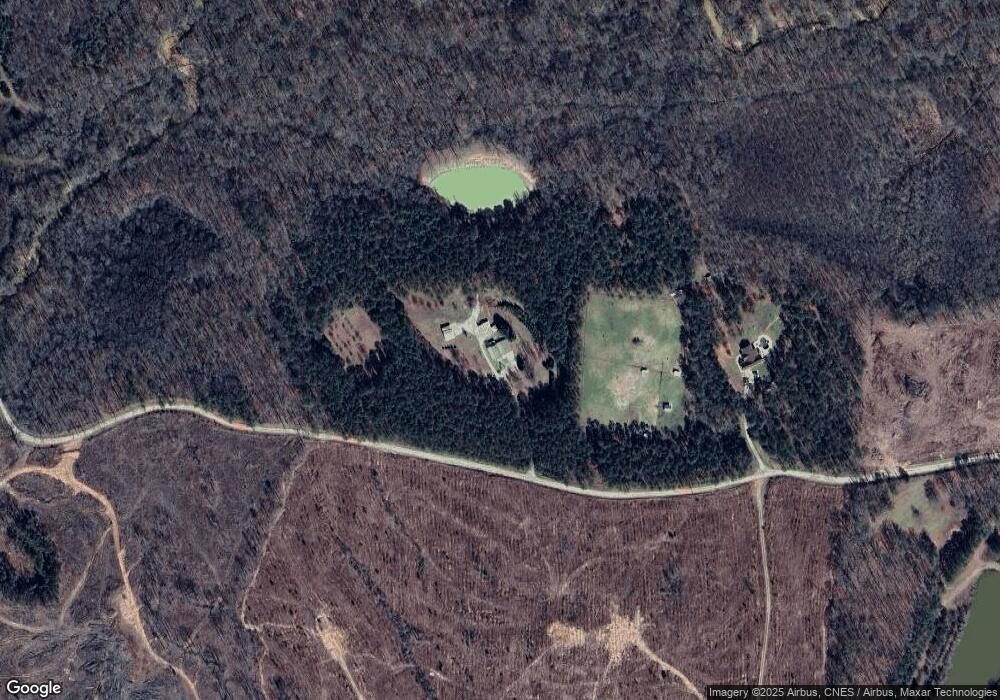
Map
Nearby Homes
- Lot 14b Lbk Cir
- LOT 31C Lbk Rd
- 0 Lbk Rd Unit 545965
- 0 Lincolnton Hwy Unit 10656813
- 0 Oscar Walton Rd Unit 24714036
- 1485 Broad River Scenic Dr
- 0 Cade Cir Unit 10610520
- 0 Cooter Creek Unit LotWP001 22764301
- 3706 Cooter Creek Rd
- Lot 74 Bramlett Cir
- Lot 71 Bramlett Cir
- Lot 75 Bramlett Cir
- LOT 74 Bramlett Dr
- 2852 Bramlett Dr
- 0 Windward Harbor Dr Unit 7659681
- 0 Windward Harbor Dr Unit 10616804
- 2734 Windward Harbor Dr
- 2786 Chapel Dr
- 1105 Shore Dr
- 1695 Buckhead Dr